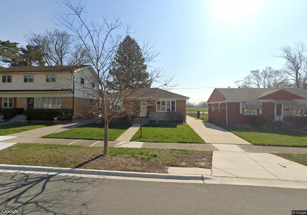
1617 Mandel Ave Westchester, IL 60154
Estimated Value: $317,000 - $332,000
2
Beds
1
Bath
974
Sq Ft
$332/Sq Ft
Est. Value
About This Home
This home is located at 1617 Mandel Ave, Westchester, IL 60154 and is currently estimated at $323,462, approximately $332 per square foot. 1617 Mandel Ave is a home located in Cook County with nearby schools including Westchester Primary School, Westchester Intermediate School, and Westchester Middle School.
Ownership History
Date
Name
Owned For
Owner Type
Purchase Details
Closed on
Feb 18, 2022
Sold by
Sporleder Richard M and Sporleder Y
Bought by
Sporleder Richard M and Sporleder Gloria J
Current Estimated Value
Purchase Details
Closed on
Oct 6, 2021
Sold by
Sporleder Richard M and Sporleder Y
Bought by
Sporleder Richard M and Sporleder Gloria J
Purchase Details
Closed on
Jun 7, 2005
Sold by
Chicago Title Land Trust Co
Bought by
Sporleder Richard M and Sporleder Gloria
Home Financials for this Owner
Home Financials are based on the most recent Mortgage that was taken out on this home.
Original Mortgage
$200,000
Interest Rate
5.86%
Mortgage Type
Fannie Mae Freddie Mac
Create a Home Valuation Report for This Property
The Home Valuation Report is an in-depth analysis detailing your home's value as well as a comparison with similar homes in the area
Home Values in the Area
Average Home Value in this Area
Purchase History
| Date | Buyer | Sale Price | Title Company |
|---|---|---|---|
| Sporleder Richard M | -- | -- | |
| Sporleder Richard M | -- | -- | |
| Sporleder Richard M | $250,000 | Cti |
Source: Public Records
Mortgage History
| Date | Status | Borrower | Loan Amount |
|---|---|---|---|
| Previous Owner | Sporleder Richard M | $200,000 |
Source: Public Records
Tax History Compared to Growth
Tax History
| Year | Tax Paid | Tax Assessment Tax Assessment Total Assessment is a certain percentage of the fair market value that is determined by local assessors to be the total taxable value of land and additions on the property. | Land | Improvement |
|---|---|---|---|---|
| 2024 | $5,520 | $27,000 | $4,550 | $22,450 |
| 2023 | $4,679 | $27,000 | $4,550 | $22,450 |
| 2022 | $4,679 | $21,495 | $3,900 | $17,595 |
| 2021 | $5,364 | $21,494 | $3,900 | $17,594 |
| 2020 | $5,307 | $21,494 | $3,900 | $17,594 |
| 2019 | $4,511 | $19,399 | $3,575 | $15,824 |
| 2018 | $4,451 | $19,399 | $3,575 | $15,824 |
| 2017 | $4,382 | $19,399 | $3,575 | $15,824 |
| 2016 | $4,243 | $17,046 | $3,250 | $13,796 |
| 2015 | $4,152 | $17,046 | $3,250 | $13,796 |
| 2014 | $4,072 | $17,046 | $3,250 | $13,796 |
| 2013 | $4,127 | $19,048 | $3,250 | $15,798 |
Source: Public Records
Map
Nearby Homes
- 1413 Highridge Pkwy
- 1847 Boeger Ave
- 1905 S Wolf Rd Unit 302
- 1948 Boeger Ave
- 11157 Shaw St
- 1326 Heidorn Ave
- 1327 S Wolf Rd
- 1811 Downing Ave
- 1242 Heidorn Ave
- 1860 Buckingham Ave
- 2130 Mandel Ave
- 10567 Waterford Dr
- 2205 Mayfair Ave
- 10531 Camelot St
- 10524 Camelot St
- 10630 W Cermak Rd Unit 2E
- 2300 Boeger Ave
- 2337 Kensington Ave
- 11140 Windsor Dr
- 2401 Mayfair Ave
- 1621 Mandel Ave
- 1613 Mandel Ave
- 1625 Mandel Ave
- 1609 Mandel Ave
- 1629 Mandel Ave
- 1605 Mandel Ave
- 1616 Mandel Ave
- 1612 Mandel Ave
- 1620 Mandel Ave
- 1633 Mandel Ave
- 1608 Mandel Ave
- 1601 Mandel Ave
- 1624 Mandel Ave
- 1604 Mandel Ave
- 1628 Mandel Ave
- 1632 Mandel Ave
- 1636 Mandel Ave
- 1617 Highridge Pkwy
- 11036 Burns Ave