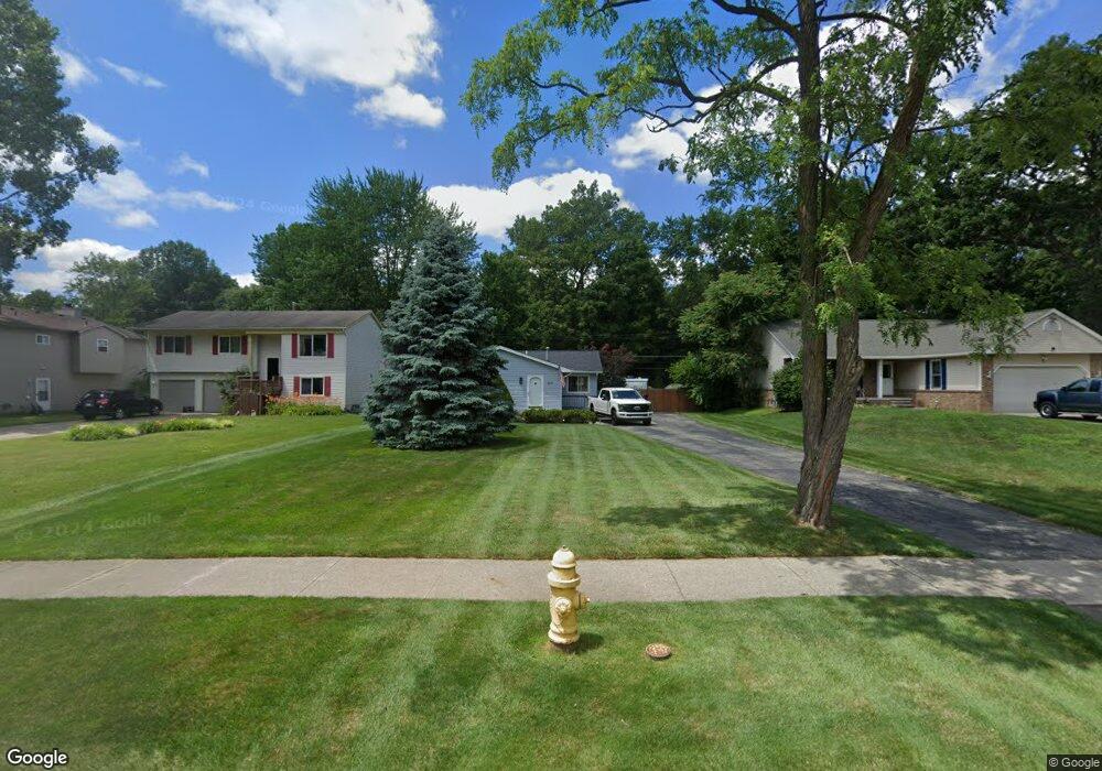
1617 N Hanlon St Westland, MI 48185
Estimated Value: $213,000 - $231,000
--
Bed
1
Bath
1,208
Sq Ft
$186/Sq Ft
Est. Value
About This Home
This home is located at 1617 N Hanlon St, Westland, MI 48185 and is currently estimated at $225,248, approximately $186 per square foot. 1617 N Hanlon St is a home located in Wayne County with nearby schools including Wildwood Elementary School, Marshall Upper Elementary School, and Adlai Stevenson Middle School.
Ownership History
Date
Name
Owned For
Owner Type
Purchase Details
Closed on
Feb 15, 2007
Sold by
Good James E and Good Heidi
Bought by
Day Steven
Current Estimated Value
Home Financials for this Owner
Home Financials are based on the most recent Mortgage that was taken out on this home.
Original Mortgage
$154,000
Outstanding Balance
$92,802
Interest Rate
6.27%
Mortgage Type
New Conventional
Estimated Equity
$132,446
Purchase Details
Closed on
Oct 19, 2005
Sold by
Kieliszewski Daniel C and Kieliszewski Kathleen I
Bought by
Good James E
Create a Home Valuation Report for This Property
The Home Valuation Report is an in-depth analysis detailing your home's value as well as a comparison with similar homes in the area
Home Values in the Area
Average Home Value in this Area
Purchase History
| Date | Buyer | Sale Price | Title Company |
|---|---|---|---|
| Day Steven | $154,000 | Independence Title | |
| Good James E | $154,250 | Devon Title Agency |
Source: Public Records
Mortgage History
| Date | Status | Borrower | Loan Amount |
|---|---|---|---|
| Open | Day Steven | $154,000 |
Source: Public Records
Tax History Compared to Growth
Tax History
| Year | Tax Paid | Tax Assessment Tax Assessment Total Assessment is a certain percentage of the fair market value that is determined by local assessors to be the total taxable value of land and additions on the property. | Land | Improvement |
|---|---|---|---|---|
| 2025 | $2,138 | $109,500 | $0 | $0 |
| 2024 | $2,138 | $94,000 | $0 | $0 |
| 2023 | $2,041 | $80,200 | $0 | $0 |
| 2022 | $2,326 | $73,300 | $0 | $0 |
| 2021 | $2,275 | $69,800 | $0 | $0 |
| 2020 | $2,244 | $63,200 | $0 | $0 |
| 2019 | $2,162 | $62,300 | $0 | $0 |
| 2018 | $1,626 | $53,500 | $0 | $0 |
| 2017 | $683 | $52,700 | $0 | $0 |
| 2016 | $2,047 | $50,300 | $0 | $0 |
| 2015 | $4,025 | $43,960 | $0 | $0 |
| 2013 | $3,899 | $40,640 | $0 | $0 |
| 2012 | $1,770 | $41,370 | $0 | $0 |
Source: Public Records
Map
Nearby Homes
- 1605 N Hanlon St
- 1680 N Hanlon St
- 34752 John Hauk St
- 1654 Shoemaker Dr Unit 145
- 34802 Pardo St
- 1309 Shoemaker Dr
- 34241 Marquette St
- 34238 Sheridan St
- 35209 Sheridan St
- 35228 Rosslyn St
- 960 Radcliff St
- 639 N Harvey St
- 33545 Hennepin St
- 624 N Parent St
- 33494 Brown St
- 34610 School St
- 35833 Ford Rd
- 360 van Sull St
- 33640 Birchlawn
- 1240 Farmington Rd
- 1633 N Hanlon St
- 1593 N Hanlon St
- 1655 N Hanlon St
- 1612 N Hanlon St Unit Bldg-Unit
- 1612 N Hanlon St
- 1574 N Hanlon St
- 1652 N Hanlon St
- 1673 N Hanlon St
- 34851 Bock St
- 1664 N Hanlon St
- 1540 N Hanlon St
- 1642 N Hanlon St
- 34901 Bock St
- 1224 N Hanlon St
- 1554 N Hanlon St
- 1225 N Hanlon St
- 1193 N Hanlon St
- 1210 N Hanlon St
- 34951 Bock St
- 34768 Bock St