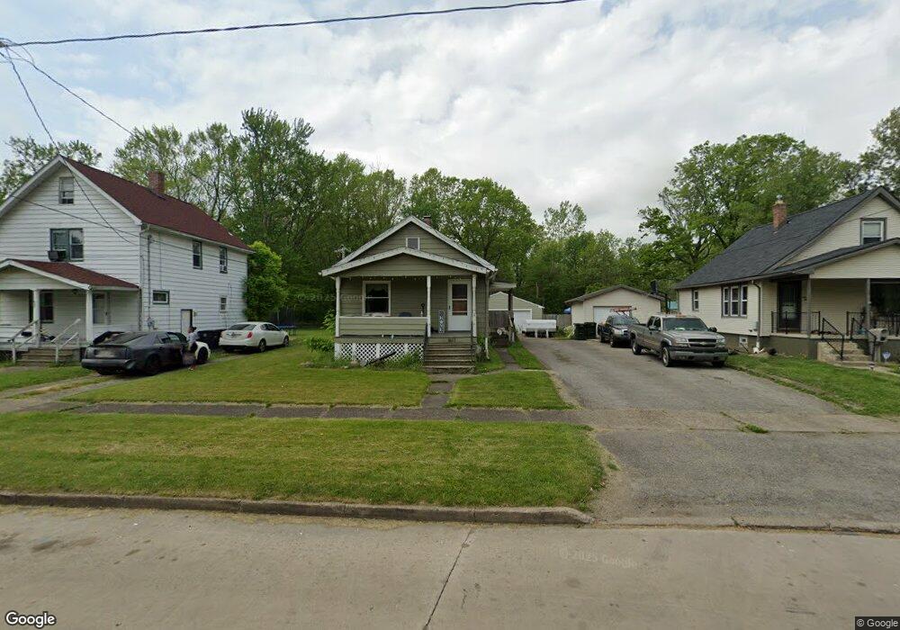
1617 West Ave NW Warren, OH 44483
North End NeighborhoodEstimated Value: $48,889 - $82,000
2
Beds
2
Baths
800
Sq Ft
$80/Sq Ft
Est. Value
About This Home
This home is located at 1617 West Ave NW, Warren, OH 44483 and is currently estimated at $63,972, approximately $79 per square foot. 1617 West Ave NW is a home located in Trumbull County with nearby schools including Warren G. Harding High School, Lincoln PK-8 School, and Steam Academy of Warren.
Ownership History
Date
Name
Owned For
Owner Type
Purchase Details
Closed on
Oct 20, 2017
Sold by
Trumbull County Land Reutilization Corp
Bought by
Roupe Terry and Morgan Michelle
Current Estimated Value
Purchase Details
Closed on
Feb 1, 2016
Sold by
Stanislaw Bradford J
Bought by
Trumbull County Land Reutilization Corp
Purchase Details
Closed on
Mar 15, 2000
Sold by
Stanislaw James and Amsden Rosalind
Bought by
Stanislaw Bradford J
Purchase Details
Closed on
Jan 1, 1990
Bought by
Angeline Stanislawc
Create a Home Valuation Report for This Property
The Home Valuation Report is an in-depth analysis detailing your home's value as well as a comparison with similar homes in the area
Home Values in the Area
Average Home Value in this Area
Purchase History
| Date | Buyer | Sale Price | Title Company |
|---|---|---|---|
| Roupe Terry | -- | None Available | |
| Trumbull County Land Reutilization Corp | -- | None Available | |
| Stanislaw Bradford J | $24,000 | -- | |
| Angeline Stanislawc | -- | -- |
Source: Public Records
Tax History Compared to Growth
Tax History
| Year | Tax Paid | Tax Assessment Tax Assessment Total Assessment is a certain percentage of the fair market value that is determined by local assessors to be the total taxable value of land and additions on the property. | Land | Improvement |
|---|---|---|---|---|
| 2024 | $525 | $10,160 | $1,300 | $8,860 |
| 2023 | $500 | $10,160 | $1,300 | $8,860 |
| 2022 | $477 | $7,570 | $1,300 | $6,270 |
| 2021 | $478 | $7,570 | $1,300 | $6,270 |
| 2020 | $479 | $7,570 | $1,300 | $6,270 |
| 2019 | $483 | $7,250 | $1,300 | $5,950 |
| 2018 | $481 | $7,250 | $1,300 | $5,950 |
| 2017 | $400 | $7,250 | $1,300 | $5,950 |
| 2016 | $400 | $6,340 | $1,930 | $4,410 |
| 2015 | $397 | $6,340 | $1,930 | $4,410 |
| 2014 | $395 | $6,340 | $1,930 | $4,410 |
| 2013 | $433 | $7,320 | $1,930 | $5,390 |
Source: Public Records
Map
Nearby Homes
- 1530 Vernon Ave NW
- 1447 Grove Ave NW
- 1459 West Ave NW
- 555 Hall St NW
- 1706 Vernon Ave NW
- 360 Freeman St NW
- 753 Packard St NW
- 670 Comstock St NW
- 783 Packard St NW
- 494 Federal St NW
- 0 Federal St NW
- 506 Federal St NW
- 343 Griswold St NE
- 855 Adams Ave NW
- 138 Maryland St NE
- 436 Idylwild
- 1033 Olive Ave NE
- 442 Belmont Ave NE
- 1545 1547 Tod Ave NW
- 563 Atlantic St NE
- 1627 West Ave NW
- 1607 West Ave NW
- 1637 West Ave NW
- 1559 West Ave NW
- 1549 West Ave NW
- 1618 West Ave NW
- 1647 West Ave NW
- 1539 West Ave NW
- 1661 West Ave NW
- 1529 West Ave NW
- 1669 West Ave NW
- 1662 West Ave NW
- 1544 Vernon Ave NW
- 1540 Vernon Ave NW
- 1530 Vernon Ave NW Unit Lower
- 1550 Vernon Ave NW
- 534 Roosevelt St NW
- 1510 Blair Ave NW
- 1520 Blair Ave NW
- 1519 West Ave NW