1618 Avery Dr Locust Grove, GA 30248
Estimated Value: $467,983 - $615,000
4
Beds
4
Baths
2,932
Sq Ft
$176/Sq Ft
Est. Value
About This Home
This home is located at 1618 Avery Dr, Locust Grove, GA 30248 and is currently estimated at $517,496, approximately $176 per square foot. 1618 Avery Dr is a home located in Henry County with nearby schools including Bethlehem Elementary School, Luella Middle School, and Luella High School.
Ownership History
Date
Name
Owned For
Owner Type
Purchase Details
Closed on
Oct 14, 2009
Sold by
Hiott Richard and Hiott Jennifer
Bought by
Mau Larry A and Mau Mamie J
Current Estimated Value
Home Financials for this Owner
Home Financials are based on the most recent Mortgage that was taken out on this home.
Original Mortgage
$132,500
Outstanding Balance
$86,388
Interest Rate
5.05%
Mortgage Type
New Conventional
Estimated Equity
$431,108
Create a Home Valuation Report for This Property
The Home Valuation Report is an in-depth analysis detailing your home's value as well as a comparison with similar homes in the area
Home Values in the Area
Average Home Value in this Area
Purchase History
| Date | Buyer | Sale Price | Title Company |
|---|---|---|---|
| Mau Larry A | $287,500 | -- |
Source: Public Records
Mortgage History
| Date | Status | Borrower | Loan Amount |
|---|---|---|---|
| Open | Mau Larry A | $132,500 |
Source: Public Records
Tax History Compared to Growth
Tax History
| Year | Tax Paid | Tax Assessment Tax Assessment Total Assessment is a certain percentage of the fair market value that is determined by local assessors to be the total taxable value of land and additions on the property. | Land | Improvement |
|---|---|---|---|---|
| 2025 | $2,429 | $215,680 | $24,000 | $191,680 |
| 2024 | $2,429 | $195,600 | $24,000 | $171,600 |
| 2023 | $2,164 | $195,400 | $24,000 | $171,400 |
| 2022 | $2,268 | $166,640 | $20,000 | $146,640 |
| 2021 | $1,905 | $140,040 | $20,000 | $120,040 |
| 2020 | $1,830 | $134,920 | $16,000 | $118,920 |
| 2019 | $1,730 | $128,160 | $16,000 | $112,160 |
| 2018 | $1,671 | $124,120 | $16,000 | $108,120 |
| 2016 | $1,484 | $111,440 | $18,000 | $93,440 |
| 2015 | $1,557 | $109,080 | $14,000 | $95,080 |
| 2014 | $2,027 | $102,640 | $14,000 | $88,640 |
Source: Public Records
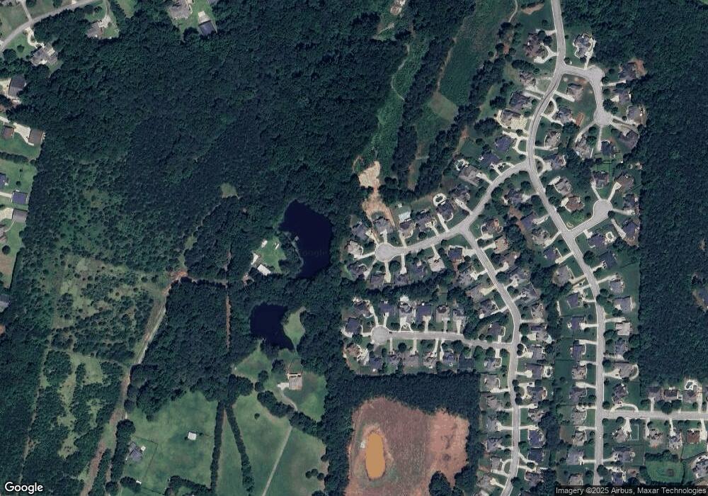
Map
Nearby Homes
- 1615 Avery Dr
- 1509 Royce Dr
- 1405 Landon Dr
- 1020 Eagles Brooke Dr
- 51 Mallard Ln
- Meridian II Plan at Kingston
- Wagener Plan at Kingston
- Lauren II Plan at Kingston
- 512 Dolce Rd
- Wynwood Plan at Kingston
- Clarity Plan at Kingston
- Henry II Plan at Kingston
- Rosemary II Plan at Kingston
- 238 Linford Dr
- 211 Linford Dr
- Rainier Plan at Kingston
- 1276 McAllistar Dr
- 7 Mallard Ln
- 0 Mallard Ln Unit LOT 51
- 1258 McAllistar Dr
- 1616 Avery Dr Unit 4
- 1617 Avery Dr Unit 440
- 1617 Avery Dr
- 1617 Avery Dr Unit 4
- 1614 Avery Dr
- 1613 Avery Dr
- 1512 Royce Dr
- 1612 Avery Dr
- 1510 Royce Dr
- 1611 Avery Dr
- 1514 Royce Dr
- 1610 Avery Dr
- 1610 Avery Dr Unit 435
- 1508 Royce Dr
- 1609 Avery Dr
- 1506 Royce Dr
- 1506 Royce Dr Unit 5
- 1608 Avery Dr
- 1200 McAllistar Dr
- 1200 McAllistar Dr Unit 445