1618 Sands Pond Rd Block Island, RI 02807
Estimated Value: $1,586,936 - $2,898,000
4
Beds
2
Baths
2,016
Sq Ft
$1,140/Sq Ft
Est. Value
About This Home
This home is located at 1618 Sands Pond Rd, Block Island, RI 02807 and is currently estimated at $2,298,979, approximately $1,140 per square foot. 1618 Sands Pond Rd is a home with nearby schools including Block Island School.
Create a Home Valuation Report for This Property
The Home Valuation Report is an in-depth analysis detailing your home's value as well as a comparison with similar homes in the area
Home Values in the Area
Average Home Value in this Area
Tax History Compared to Growth
Tax History
| Year | Tax Paid | Tax Assessment Tax Assessment Total Assessment is a certain percentage of the fair market value that is determined by local assessors to be the total taxable value of land and additions on the property. | Land | Improvement |
|---|---|---|---|---|
| 2024 | $7,517 | $1,361,800 | $840,900 | $520,900 |
| 2023 | $8,198 | $1,361,800 | $840,900 | $520,900 |
| 2022 | $6,818 | $962,960 | $736,480 | $226,480 |
| 2021 | $6,452 | $962,960 | $736,480 | $226,480 |
| 2020 | $6,124 | $962,960 | $736,480 | $226,480 |
| 2019 | $5,932 | $962,960 | $736,480 | $226,480 |
| 2018 | $5,948 | $999,600 | $736,480 | $263,120 |
| 2017 | $5,858 | $999,600 | $736,480 | $263,120 |
| 2016 | $5,718 | $999,600 | $736,480 | $263,120 |
| 2015 | $6,903 | $1,252,900 | $920,600 | $332,300 |
| 2014 | $6,690 | $1,252,900 | $920,600 | $332,300 |
| 2013 | $6,528 | $1,252,900 | $920,600 | $332,300 |
Source: Public Records
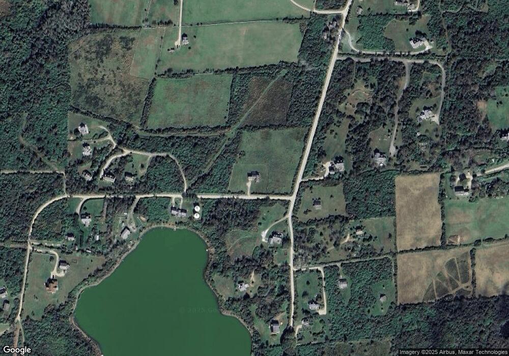
Map
Nearby Homes
- 1661 Sand Pond Rd
- 804 Mohegan Trail
- 194 Pilot Hill Rd
- 0 Pilot Hill Rd
- 1087 Lakeside Dr
- 0 Mohegan Trail
- 1448 Mohegan Trail
- 1035 Mohegan Trail
- 1289 High St
- 0 Snake Hole Rd
- 0 Spring St
- 256 High St
- 0 Southeast Rd Unit 1381406
- 481 Old Town Rd
- 1501 Beacon Hill Rd
- 1328 Cooneymus Rd
- 1557 W Side Rd
- 1596 W Side Rd
- 0 Coast Guard Rd
- 1743 Corn Neck Rd