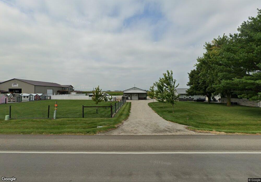
1618 State Highway 133 Arthur, IL 61911
Estimated Value: $233,000 - $331,690
3
Beds
1
Bath
3,660
Sq Ft
$77/Sq Ft
Est. Value
About This Home
This home is located at 1618 State Highway 133, Arthur, IL 61911 and is currently estimated at $283,423, approximately $77 per square foot. 1618 State Highway 133 is a home located in Moultrie County with nearby schools including Arthur Grade School, Arthur Lovington Atwood Hammond High School, and Plainview Parochial School.
Create a Home Valuation Report for This Property
The Home Valuation Report is an in-depth analysis detailing your home's value as well as a comparison with similar homes in the area
Tax History
| Year | Tax Paid | Tax Assessment Tax Assessment Total Assessment is a certain percentage of the fair market value that is determined by local assessors to be the total taxable value of land and additions on the property. | Land | Improvement |
|---|---|---|---|---|
| 2024 | $10,999 | $213,682 | $3,780 | $209,902 |
| 2023 | $10,446 | $200,863 | $3,543 | $197,320 |
| 2022 | $3,745 | $65,291 | $3,822 | $61,469 |
| 2021 | $2,031 | $36,177 | $3,628 | $32,549 |
| 2020 | $1,553 | $28,767 | $3,477 | $25,290 |
| 2019 | $1,530 | $28,313 | $3,382 | $24,931 |
| 2018 | $1,777 | $31,818 | $2,832 | $28,986 |
| 2017 | $1,741 | $31,695 | $2,815 | $28,880 |
| 2016 | $1,840 | $31,759 | $2,819 | $28,940 |
| 2015 | $1,805 | $31,219 | $2,809 | $28,410 |
| 2014 | -- | $31,458 | $3,093 | $28,365 |
| 2013 | -- | $31,470 | $3,105 | $28,365 |
Source: Public Records
Map
Nearby Homes
- 1576 State Highway 133
- 506 S Beech St
- 221 S Hickory St
- 206 E Logan St
- 823 E Progress St
- 39 U S 36
- 39 US Highway 36
- 217 S Missouri St
- 215 S Missouri St
- 212 S Illinois St
- 3 Royal Ct
- 5 Royal Ct
- 2 Royal Ct
- 4 Royal Ct
- 222 S Iowa St
- 1227 E 100 North Rd
- 1233 E 100 Rd N
- 330 E Central Ave
- 319 N Missouri St
- 000 N Illinois
- 1603 State Highway 133
- 1641 State Highway 133
- 2097 Cr 1600e
- 1758A Cr 1550n
- 1649 State Highway 133
- 1648 State Highway 133
- 1650 State Highway 133
- 2127 Cr 1600e
- 1646 Cr 2500n
- 1726 Cr 2500n
- 2122 Cr 1600e
- 2075 Cr 1600e
- 2073 Cr 1600e
- 2128 Cr 1600e
- 1580 State Highway 133
- 2065 Cr 1600e
- 2141 Cr 1600e
- 2062 Cr 1600e
- 1689 Us Highway 36
- 1659 Us Highway 36
Your Personal Tour Guide
Ask me questions while you tour the home.