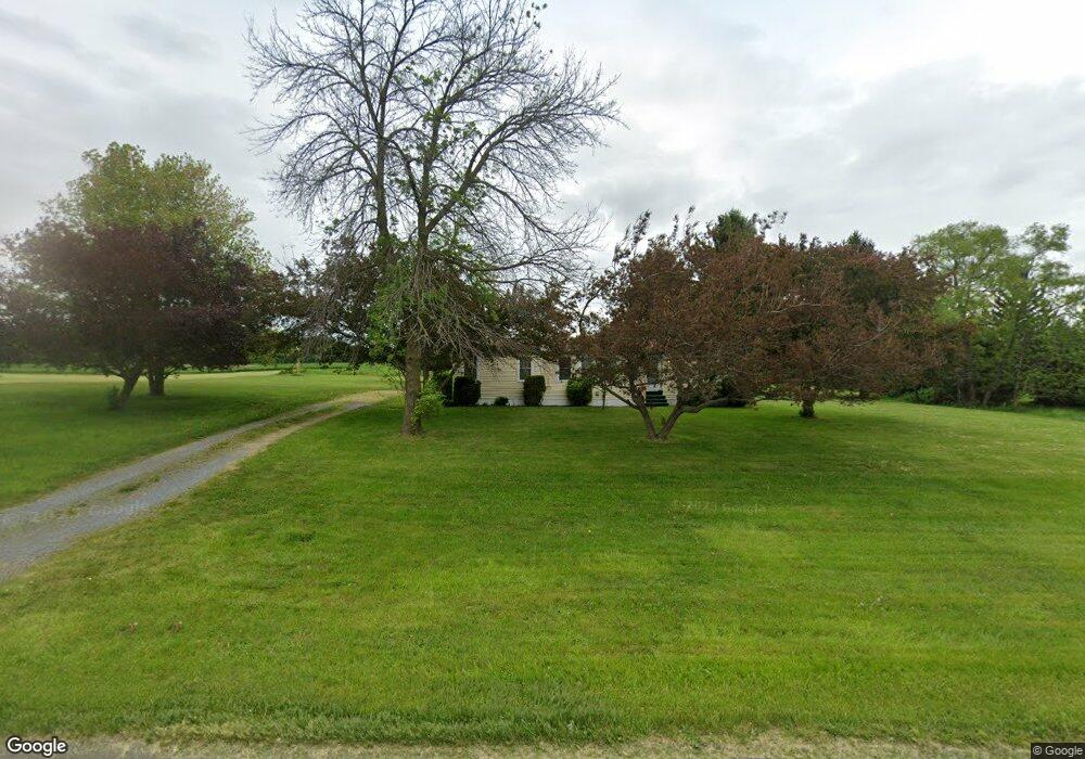
1618 State Route 34b King Ferry, NY 13081
Estimated Value: $145,000 - $219,000
3
Beds
2
Baths
960
Sq Ft
$174/Sq Ft
Est. Value
About This Home
This home is located at 1618 State Route 34b, King Ferry, NY 13081 and is currently estimated at $167,413, approximately $174 per square foot. 1618 State Route 34b is a home located in Cayuga County with nearby schools including Southern Cayuga High School Secondary School.
Ownership History
Date
Name
Owned For
Owner Type
Purchase Details
Closed on
Oct 18, 2022
Sold by
Vanorman James
Bought by
Wilson Robin Trevor
Current Estimated Value
Home Financials for this Owner
Home Financials are based on the most recent Mortgage that was taken out on this home.
Original Mortgage
$98,679
Outstanding Balance
$95,373
Interest Rate
6.7%
Mortgage Type
FHA
Estimated Equity
$72,040
Create a Home Valuation Report for This Property
The Home Valuation Report is an in-depth analysis detailing your home's value as well as a comparison with similar homes in the area
Home Values in the Area
Average Home Value in this Area
Purchase History
| Date | Buyer | Sale Price | Title Company |
|---|---|---|---|
| Wilson Robin Trevor | $100,500 | -- | |
| Robin Trevor Wilson | $100,500 | None Listed On Document |
Source: Public Records
Mortgage History
| Date | Status | Borrower | Loan Amount |
|---|---|---|---|
| Open | Robin Trevor Wilson | $98,679 | |
| Closed | Robin Trevor Wilson | $98,679 |
Source: Public Records
Tax History Compared to Growth
Tax History
| Year | Tax Paid | Tax Assessment Tax Assessment Total Assessment is a certain percentage of the fair market value that is determined by local assessors to be the total taxable value of land and additions on the property. | Land | Improvement |
|---|---|---|---|---|
| 2024 | $2,207 | $101,000 | $25,000 | $76,000 |
| 2023 | $2,204 | $101,000 | $25,000 | $76,000 |
| 2022 | $2,502 | $88,100 | $17,500 | $70,600 |
| 2021 | $2,489 | $88,100 | $17,500 | $70,600 |
| 2020 | $615 | $88,100 | $17,500 | $70,600 |
| 2019 | $606 | $88,100 | $17,500 | $70,600 |
| 2018 | $600 | $88,100 | $17,500 | $70,600 |
| 2017 | $588 | $88,100 | $17,500 | $70,600 |
| 2016 | $560 | $88,100 | $17,500 | $70,600 |
| 2015 | -- | $81,500 | $17,500 | $64,000 |
| 2014 | -- | $81,500 | $17,500 | $64,000 |
Source: Public Records
Map
Nearby Homes
- 1366 Rafferty Rd
- 1183 Honoco Rd
- 955 Fire Lane 6
- 1653 Honoco Rd
- 1659 Honoco Rd
- 641 Fire Lane 5
- 1817 Honoco Rd
- 2173 State Route 90
- 2203 New York 90
- 2559 State Route 34
- 1995 Lake Rd
- Rt-90 Unit LotWP001
- 1041 Maple St
- 7374 Wyers Point Rd
- 0 New York 34
- 7658 County Road 153
- 1058 Bradley St
- 110 Main - Lot 2 St
- 110 Main St
- Lot 1 Wyers Point Beach Rd
- 1626 State Route 34b
- 1627 State Route 34b
- 1598 State Route 34b
- 1601 State Route 34b
- 1771 Ledyard Rd
- 1596 State Route 34b
- 1782 Ledyard Rd
- 1772 Ledyard Rd
- 1660 State Route 34b
- 1760 Ledyard Rd
- 1584 State Route 34b
- 1806 Ledyard Rd
- 1577 State Route 34b
- 1821 Ledyard Rd
- 1816 Ledyard Rd
- 1562 State Route 34b
- 1549 State Route 34b
- 1675 Ledyard Rd
- 1686 State Route 34b
- 1875 Ledyard Rd