1618 W 10 S Unit 4N Pleasant Grove, UT 84062
Estimated Value: $340,553 - $365,000
2
Beds
2
Baths
1,183
Sq Ft
$296/Sq Ft
Est. Value
About This Home
This home is located at 1618 W 10 S Unit 4N, Pleasant Grove, UT 84062 and is currently estimated at $350,388, approximately $296 per square foot. 1618 W 10 S Unit 4N is a home located in Utah County with nearby schools including Mount Mahogany School, Pleasant Grove Junior High School, and Pleasant Grove High School.
Ownership History
Date
Name
Owned For
Owner Type
Purchase Details
Closed on
Aug 22, 2016
Sold by
Gray Julie
Bought by
Gray Julie and Philllippi Melissa
Current Estimated Value
Purchase Details
Closed on
Oct 16, 2007
Sold by
General Construction & Development Inc
Bought by
Gray Julie
Home Financials for this Owner
Home Financials are based on the most recent Mortgage that was taken out on this home.
Original Mortgage
$193,574
Interest Rate
6.42%
Mortgage Type
Purchase Money Mortgage
Create a Home Valuation Report for This Property
The Home Valuation Report is an in-depth analysis detailing your home's value as well as a comparison with similar homes in the area
Home Values in the Area
Average Home Value in this Area
Purchase History
| Date | Buyer | Sale Price | Title Company |
|---|---|---|---|
| Gray Julie | -- | None Available | |
| Gray Julie | -- | Empire Land Title Company |
Source: Public Records
Mortgage History
| Date | Status | Borrower | Loan Amount |
|---|---|---|---|
| Previous Owner | Gray Julie | $193,574 |
Source: Public Records
Tax History Compared to Growth
Tax History
| Year | Tax Paid | Tax Assessment Tax Assessment Total Assessment is a certain percentage of the fair market value that is determined by local assessors to be the total taxable value of land and additions on the property. | Land | Improvement |
|---|---|---|---|---|
| 2025 | $1,558 | $185,295 | $37,400 | $299,500 |
| 2024 | $1,558 | $181,775 | $0 | $0 |
| 2023 | $1,512 | $184,690 | $0 | $0 |
| 2022 | $1,483 | $180,235 | $0 | $0 |
| 2021 | $1,302 | $240,900 | $28,900 | $212,000 |
| 2020 | $1,218 | $221,000 | $26,500 | $194,500 |
| 2019 | $1,071 | $200,900 | $23,400 | $177,500 |
| 2018 | $952 | $169,000 | $20,300 | $148,700 |
| 2017 | $902 | $85,250 | $0 | $0 |
| 2016 | $856 | $78,100 | $0 | $0 |
| 2015 | $904 | $78,100 | $0 | $0 |
| 2014 | $836 | $71,500 | $0 | $0 |
Source: Public Records
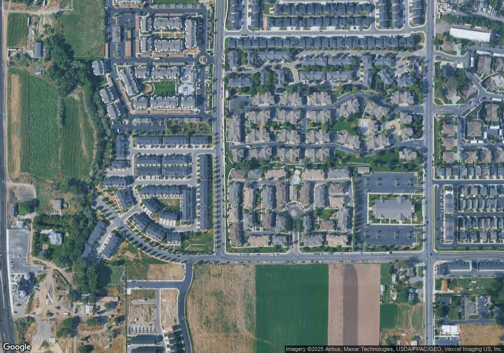
Map
Nearby Homes
- 1559 W 50 N
- 1512 W 50 N
- 1584 W 110 N
- 1542 W 110 N
- 1406 W 50 N
- 1429 W 110 N
- 1593 W 220 N
- 1541 W 250 N
- 1775 W 120 S Unit 54
- 128 S 1700 W Unit 12
- 1795 W 120 S Unit 52
- The Hastings Plan at Tayside Farm - Townhome
- The Henley A Plan at Tayside Farm - Single Family Home
- The Denton Plan at Tayside Farm - Townhome
- The Henley B Plan at Tayside Farm - Single Family Home
- 29 S 2000 W
- 1267 W 20 S
- 1525 W 300 N
- 150 N 1300 W
- 293 N 1630 W