1619 Mims Rd Screven, GA 31560
Estimated Value: $117,000
--
Bed
3
Baths
1,536
Sq Ft
$76/Sq Ft
Est. Value
About This Home
This home is located at 1619 Mims Rd, Screven, GA 31560 and is currently estimated at $117,000, approximately $76 per square foot. 1619 Mims Rd is a home located in Wayne County with nearby schools including Screven Elementary School, Arthur Williams Middle School, and Wayne County High School.
Ownership History
Date
Name
Owned For
Owner Type
Purchase Details
Closed on
Jul 12, 2023
Sold by
Hudson Edwin M
Bought by
Hopkins James and Hopkins Carla
Current Estimated Value
Purchase Details
Closed on
Jan 22, 2010
Sold by
Hudson Edwin M
Bought by
Hopkins James and Hopkins Carla
Purchase Details
Closed on
Jun 5, 2009
Sold by
Bennett Archie
Bought by
Hudson Edwin M and Hudson Debbie A
Purchase Details
Closed on
Nov 1, 1994
Sold by
Pellerin Richard
Bought by
Bennett Archie E and Bennett Shirley D
Purchase Details
Closed on
Jan 1, 1994
Bought by
Pellerin Richard
Purchase Details
Closed on
Dec 1, 1990
Purchase Details
Closed on
Apr 1, 1988
Purchase Details
Closed on
Apr 1, 1976
Create a Home Valuation Report for This Property
The Home Valuation Report is an in-depth analysis detailing your home's value as well as a comparison with similar homes in the area
Home Values in the Area
Average Home Value in this Area
Purchase History
| Date | Buyer | Sale Price | Title Company |
|---|---|---|---|
| Hopkins James | -- | -- | |
| Hudson Edwin M | -- | -- | |
| Hopkins James | -- | -- | |
| Hudson Edwin M | -- | -- | |
| Bennett Archie E | $45,000 | -- | |
| Pellerin Richard | -- | -- | |
| -- | $25,600 | -- | |
| -- | $28,000 | -- | |
| -- | -- | -- |
Source: Public Records
Tax History Compared to Growth
Tax History
| Year | Tax Paid | Tax Assessment Tax Assessment Total Assessment is a certain percentage of the fair market value that is determined by local assessors to be the total taxable value of land and additions on the property. | Land | Improvement |
|---|---|---|---|---|
| 2024 | $386 | $26,033 | $24,533 | $1,500 |
| 2023 | $1,954 | $65,143 | $31,253 | $33,890 |
| 2022 | $1,417 | $58,665 | $31,253 | $27,412 |
| 2021 | $1,330 | $53,495 | $31,253 | $22,242 |
| 2020 | $1,394 | $69,418 | $47,176 | $22,242 |
| 2019 | $1,266 | $66,963 | $44,721 | $22,242 |
| 2018 | $1,253 | $66,963 | $44,721 | $22,242 |
| 2017 | $1,067 | $66,963 | $44,721 | $22,242 |
Source: Public Records
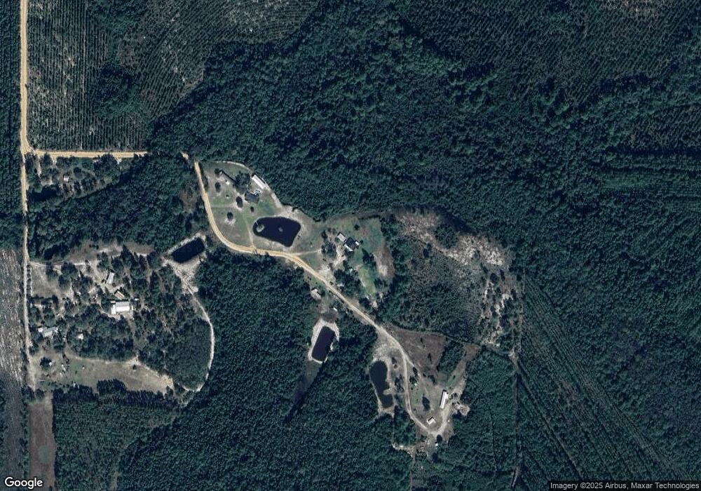
Map
Nearby Homes
- 88 Minnesota Rd
- 564 Hortense Rd
- 0 S Forks Rd
- 391 S Forks Rd
- 2460 Thornton Rd
- 3038 Armor Rd
- 109 Joyner St
- 504 Grace St
- 868 Broadhurst Rd W
- 301 Whitaker Dr
- 107 Gaffney St
- 6005 Chancey Rd
- 3881 Cut Path Rd
- 5696 Johnson Rd
- 6162 Griner Rd
- 5947 Reese St
- 2114 Mill Creek Rd
- 59 Enoch Moody Rd
- 0 Dale Mill Rd
- 0 Roberson Rd