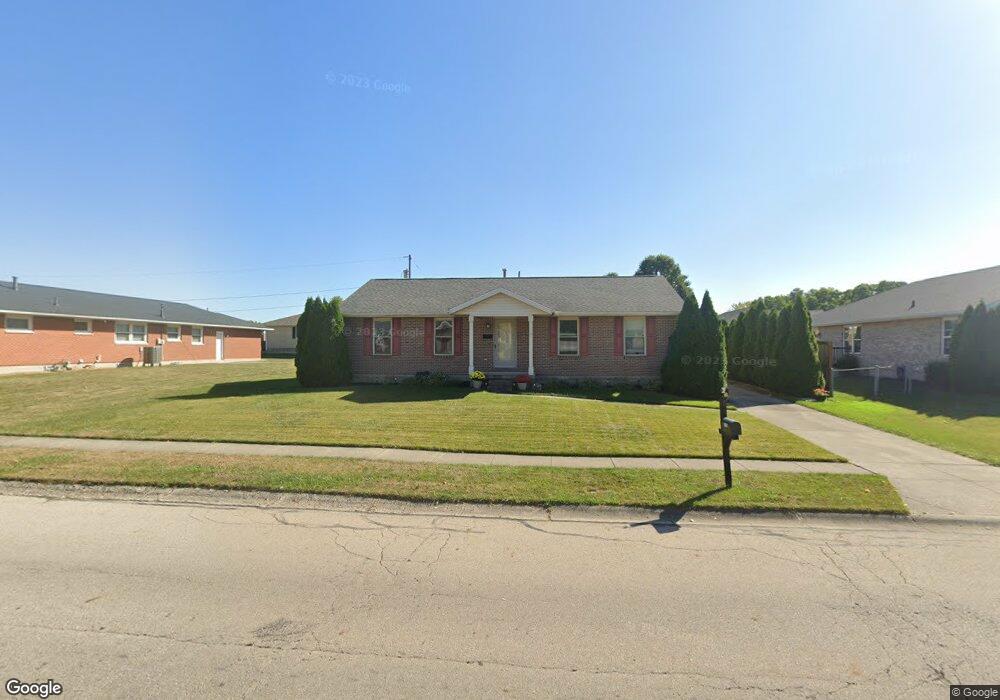
1619 Montego Dr Springfield, OH 45503
Estimated Value: $281,000 - $292,000
3
Beds
2
Baths
1,516
Sq Ft
$188/Sq Ft
Est. Value
About This Home
This home is located at 1619 Montego Dr, Springfield, OH 45503 and is currently estimated at $285,431, approximately $188 per square foot. 1619 Montego Dr is a home located in Clark County with nearby schools including Northridge Elementary School, Kenton Ridge Middle & High School, and Emmanuel Christian Academy.
Ownership History
Date
Name
Owned For
Owner Type
Purchase Details
Closed on
Nov 26, 2013
Sold by
Brumfield Dale A and Brumfield Elizabeth C
Bought by
Brumfield Dale A and Brumfield Elizabeth C
Current Estimated Value
Purchase Details
Closed on
Aug 26, 2002
Sold by
Albert Laprise Barry and Albert Marie Susan
Bought by
Brumfield Dale A and Brumfield Elizabeth C
Purchase Details
Closed on
Aug 9, 2000
Sold by
Hoppes Development Company The
Bought by
Laprise Barry Albert and Laprise Susan Marie
Home Financials for this Owner
Home Financials are based on the most recent Mortgage that was taken out on this home.
Original Mortgage
$80,000
Outstanding Balance
$27,837
Interest Rate
8.24%
Mortgage Type
Purchase Money Mortgage
Estimated Equity
$257,594
Create a Home Valuation Report for This Property
The Home Valuation Report is an in-depth analysis detailing your home's value as well as a comparison with similar homes in the area
Home Values in the Area
Average Home Value in this Area
Purchase History
| Date | Buyer | Sale Price | Title Company |
|---|---|---|---|
| Brumfield Dale A | -- | Attorney | |
| Brumfield Dale A | $144,000 | -- | |
| Laprise Barry Albert | $129,400 | -- |
Source: Public Records
Mortgage History
| Date | Status | Borrower | Loan Amount |
|---|---|---|---|
| Open | Laprise Barry Albert | $80,000 |
Source: Public Records
Tax History
| Year | Tax Paid | Tax Assessment Tax Assessment Total Assessment is a certain percentage of the fair market value that is determined by local assessors to be the total taxable value of land and additions on the property. | Land | Improvement |
|---|---|---|---|---|
| 2025 | $2,829 | $93,150 | $18,660 | $74,490 |
| 2024 | $1,441 | $74,500 | $16,020 | $58,480 |
| 2023 | $2,763 | $74,500 | $16,020 | $58,480 |
| 2022 | $2,791 | $74,500 | $16,020 | $58,480 |
| 2021 | $2,268 | $54,030 | $12,810 | $41,220 |
| 2020 | $2,269 | $54,030 | $12,810 | $41,220 |
| 2019 | $2,313 | $54,030 | $12,810 | $41,220 |
| 2018 | $2,321 | $52,280 | $9,940 | $42,340 |
| 2017 | $1,990 | $48,329 | $9,937 | $38,392 |
| 2016 | $1,976 | $48,329 | $9,937 | $38,392 |
| 2015 | $934 | $47,856 | $9,464 | $38,392 |
| 2014 | $1,868 | $47,856 | $9,464 | $38,392 |
| 2013 | $1,825 | $47,856 | $9,464 | $38,392 |
Source: Public Records
Map
Nearby Homes
- 1644 Delmar Dr
- 1415 Montego Dr
- 4256 Midfield St Unit 9
- 4322 Midfield St Unit 15
- 1341 Student Ave
- 4446 Ridgewood Rd E Unit 3
- 1500 Kingsgate Rd Unit 19430
- 1502 Kingsgate Rd Unit 19432
- 1500 Kingsgate Rd
- 1502 Kingsgate Rd
- 1503 Kingsgate Rd
- 1505 Kingsgate Rd
- 3631 Kingsgate Ln
- 1507 Kingsgate Rd
- 1811 Saint Andrews Ct
- 1201 Kingsgate Rd
- 1162 Kingsgate Rd
- 4577 Reno Ln Unit 2
- 4652 Reno Ln Unit 15
- 4028 Ryland Dr Unit 4028
- 4068 Harris Ln
- 4053 Tacoma St
- 4052 Harris Ln
- 4045 Tacoma St
- 4042 Harris Ln
- 1624 Montego Dr
- 4102 Ashton Ln
- 4039 Tacoma St
- 1509 Montego Dr
- 4022 Harris Ln
- 3957 Tacoma St
- 4042 Tacoma St
- 4049 Harris Ln
- 4049 Harris Ln Unit NORTHRIDGE
- 4107 Tacoma St
- 4110 Ashton Ln
- 1632 Montego Dr
- 4039 Harris Ln
- 3952 Harris Ln
- 4105 Ashton Ln
Your Personal Tour Guide
Ask me questions while you tour the home.