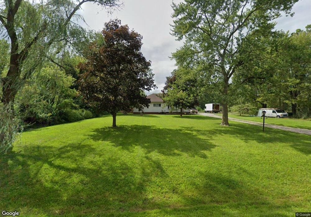
16190 Merriman Rd Romulus, MI 48174
Estimated Value: $271,000 - $343,000
3
Beds
2
Baths
1,158
Sq Ft
$262/Sq Ft
Est. Value
About This Home
This home is located at 16190 Merriman Rd, Romulus, MI 48174 and is currently estimated at $303,078, approximately $261 per square foot. 16190 Merriman Rd is a home with nearby schools including Barth Elementary School, Romulus Middle School, and Romulus Senior High School.
Ownership History
Date
Name
Owned For
Owner Type
Purchase Details
Closed on
Jan 18, 2024
Sold by
Frescura Eugene and Frescura Marilyn
Bought by
Frescura Eugene and Frescura Marilyn
Current Estimated Value
Home Financials for this Owner
Home Financials are based on the most recent Mortgage that was taken out on this home.
Original Mortgage
$247,500
Interest Rate
6.95%
Mortgage Type
New Conventional
Purchase Details
Closed on
Jan 6, 2000
Sold by
Haddad Joseph E
Bought by
Norwest Bank Minnesota
Create a Home Valuation Report for This Property
The Home Valuation Report is an in-depth analysis detailing your home's value as well as a comparison with similar homes in the area
Home Values in the Area
Average Home Value in this Area
Purchase History
| Date | Buyer | Sale Price | Title Company |
|---|---|---|---|
| Frescura Eugene | -- | Title Solutions | |
| Frescura Eugene | $275,000 | Ata National Title | |
| Norwest Bank Minnesota | $170,706 | -- |
Source: Public Records
Mortgage History
| Date | Status | Borrower | Loan Amount |
|---|---|---|---|
| Previous Owner | Frescura Eugene | $247,500 |
Source: Public Records
Tax History Compared to Growth
Tax History
| Year | Tax Paid | Tax Assessment Tax Assessment Total Assessment is a certain percentage of the fair market value that is determined by local assessors to be the total taxable value of land and additions on the property. | Land | Improvement |
|---|---|---|---|---|
| 2025 | $2,953 | $101,000 | $0 | $0 |
| 2024 | $2,953 | $99,000 | $0 | $0 |
| 2023 | $3,929 | $80,700 | $0 | $0 |
| 2022 | $4,419 | $77,500 | $0 | $0 |
| 2021 | $4,317 | $74,400 | $0 | $0 |
| 2020 | $4,223 | $71,000 | $0 | $0 |
| 2019 | $4,161 | $68,800 | $0 | $0 |
| 2018 | $2,999 | $60,900 | $0 | $0 |
| 2017 | $1,580 | $60,800 | $0 | $0 |
| 2016 | $3,972 | $61,300 | $0 | $0 |
| 2015 | $5,990 | $59,900 | $0 | $0 |
| 2013 | $8,030 | $83,400 | $0 | $0 |
| 2012 | $3,202 | $89,800 | $55,800 | $34,000 |
Source: Public Records
Map
Nearby Homes
- 00000 Pennsylvania Rd
- 00 Pennsylvania Rd
- 30930 Pennsylvania Rd Unit 8
- 15795 Taft St
- 15771 Taft St
- 15760 Oakbrook St
- 37095 Eureka Rd
- 15415 Oakbrook St
- 16971 Brandt St Unit 3
- 30454 Dorset St
- 30455 Cherry Ave
- 30431 Cherry Ave
- 15900 Sandburg St
- 15638 Sandburg St
- 16068 Middlebelt Rd
- 16110 Farnum St
- 15701 Middlebelt Rd
- Lot 107 Hollywood
- Lot 105 Hollywood
- Lot 106 Hollywood
- 16221 Merriman Rd
- 16247 Merriman Rd
- 16350 Merriman Rd
- 16455 Merriman Rd
- 16147 Merriman Rd
- 15972 Merriman Rd
- 16047 Merriman Rd
- 16579 Merriman Rd
- 16562 Merriman Rd
- 15750 Merriman Rd
- 15715 Merriman Rd
- 16717 Merriman Rd
- 15650 Merriman Rd
- 15801 Merriman Rd
- 16751 Merriman Rd
- 15530 Merriman Rd
- 30964 Pennsylvania Rd
- 15517 Merriman Rd
- 30990 Pennsylvania Rd
- 30990 Pennsylvania Rd