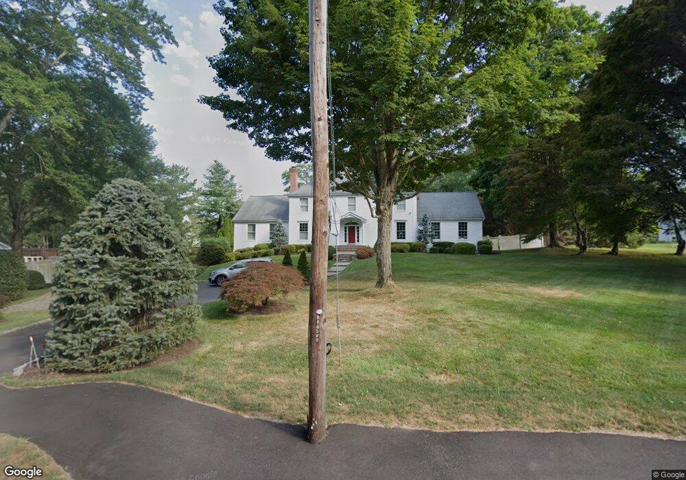
161A Cross Hwy Westport, CT 06880
Coleytown NeighborhoodEstimated Value: $2,270,000 - $2,953,000
5
Beds
4
Baths
4,657
Sq Ft
$564/Sq Ft
Est. Value
About This Home
This home is located at 161A Cross Hwy, Westport, CT 06880 and is currently estimated at $2,624,477, approximately $563 per square foot. 161A Cross Hwy is a home located in Fairfield County with nearby schools including Coleytown Elementary School, Coleytown Middle School, and Staples High School.
Ownership History
Date
Name
Owned For
Owner Type
Purchase Details
Closed on
Aug 11, 1994
Sold by
Frank George and Monda Robert
Bought by
Eugley Alan and Treadwell Karen
Current Estimated Value
Create a Home Valuation Report for This Property
The Home Valuation Report is an in-depth analysis detailing your home's value as well as a comparison with similar homes in the area
Home Values in the Area
Average Home Value in this Area
Purchase History
| Date | Buyer | Sale Price | Title Company |
|---|---|---|---|
| Eugley Alan | $700,000 | -- | |
| Eugley Alan | $700,000 | -- |
Source: Public Records
Mortgage History
| Date | Status | Borrower | Loan Amount |
|---|---|---|---|
| Open | Eugley Alan | $630,000 | |
| Closed | Eugley Alan | $265,000 | |
| Closed | Eugley Alan | $405,000 |
Source: Public Records
Tax History Compared to Growth
Tax History
| Year | Tax Paid | Tax Assessment Tax Assessment Total Assessment is a certain percentage of the fair market value that is determined by local assessors to be the total taxable value of land and additions on the property. | Land | Improvement |
|---|---|---|---|---|
| 2025 | $18,447 | $978,100 | $378,400 | $599,700 |
| 2024 | $18,212 | $978,100 | $378,400 | $599,700 |
| 2023 | $17,906 | $975,800 | $378,400 | $597,400 |
| 2022 | $17,633 | $975,800 | $378,400 | $597,400 |
| 2021 | $17,633 | $975,800 | $378,400 | $597,400 |
| 2020 | $17,201 | $1,029,400 | $399,100 | $630,300 |
| 2019 | $17,356 | $1,029,400 | $399,100 | $630,300 |
| 2018 | $17,356 | $1,029,400 | $399,100 | $630,300 |
| 2017 | $17,356 | $1,029,400 | $399,100 | $630,300 |
| 2016 | $17,356 | $1,029,400 | $399,100 | $630,300 |
| 2015 | $17,759 | $981,700 | $308,400 | $673,300 |
| 2014 | $17,612 | $981,700 | $308,400 | $673,300 |
Source: Public Records
Map
Nearby Homes
- 111 Sturges Hwy
- 6 Fox Run Ln
- 1084 Sturges Hwy
- 26 Cob Dr
- 24 Tupelo Rd
- 6 Nutcracker Ln
- 6 Bayberry Common
- 17 Clover Ln
- 5 Willow Walk
- 56 Charcoal Hill Rd
- 2190 Sturges Hwy
- 21 Sturges Commons
- 24 Warnock Dr
- 13 Terhune Dr
- 21 Warnock Dr
- 19 Joann Cir
- 21 Queens Grant Dr
- 9 Greenbrier Rd
- 14 Northfield Dr
- 26 Hitchcock Rd