162 Beach Rd Stevensville, MD 21666
Romancoke NeighborhoodEstimated Value: $1,141,494 - $1,415,000
--
Bed
3
Baths
3,237
Sq Ft
$378/Sq Ft
Est. Value
About This Home
This home is located at 162 Beach Rd, Stevensville, MD 21666 and is currently estimated at $1,223,124, approximately $377 per square foot. 162 Beach Rd is a home located in Queen Anne's County with nearby schools including Matapeake Elementary School, Matapeake Middle School, and Kent Island High School.
Ownership History
Date
Name
Owned For
Owner Type
Purchase Details
Closed on
May 18, 2020
Sold by
Garrett Mark C and Garrett Plant B
Bought by
Garrett Mark C and Garrett Plant B
Current Estimated Value
Purchase Details
Closed on
Jan 17, 2001
Sold by
Bay Marsh Properties Llc
Bought by
Garrett Mark C and Garrett Plant B
Purchase Details
Closed on
Mar 26, 1997
Sold by
Lipscomb Lisle T
Bought by
Bay Marsh Properties Llc
Create a Home Valuation Report for This Property
The Home Valuation Report is an in-depth analysis detailing your home's value as well as a comparison with similar homes in the area
Home Values in the Area
Average Home Value in this Area
Purchase History
| Date | Buyer | Sale Price | Title Company |
|---|---|---|---|
| Garrett Mark C | -- | None Available | |
| Garrett Mark C | $160,000 | -- | |
| Bay Marsh Properties Llc | -- | -- |
Source: Public Records
Tax History Compared to Growth
Tax History
| Year | Tax Paid | Tax Assessment Tax Assessment Total Assessment is a certain percentage of the fair market value that is determined by local assessors to be the total taxable value of land and additions on the property. | Land | Improvement |
|---|---|---|---|---|
| 2025 | $8,278 | $872,400 | $0 | $0 |
| 2024 | $7,944 | $836,900 | $0 | $0 |
| 2023 | $7,609 | $801,400 | $465,000 | $336,400 |
| 2022 | $7,486 | $788,333 | $0 | $0 |
| 2021 | $7,496 | $775,267 | $0 | $0 |
| 2020 | $7,370 | $762,200 | $445,000 | $317,200 |
| 2019 | $7,370 | $762,200 | $445,000 | $317,200 |
| 2018 | $7,370 | $762,200 | $445,000 | $317,200 |
| 2017 | $8,628 | $893,300 | $0 | $0 |
| 2016 | -- | $893,300 | $0 | $0 |
| 2015 | $7,494 | $893,300 | $0 | $0 |
| 2014 | $7,494 | $895,500 | $0 | $0 |
Source: Public Records
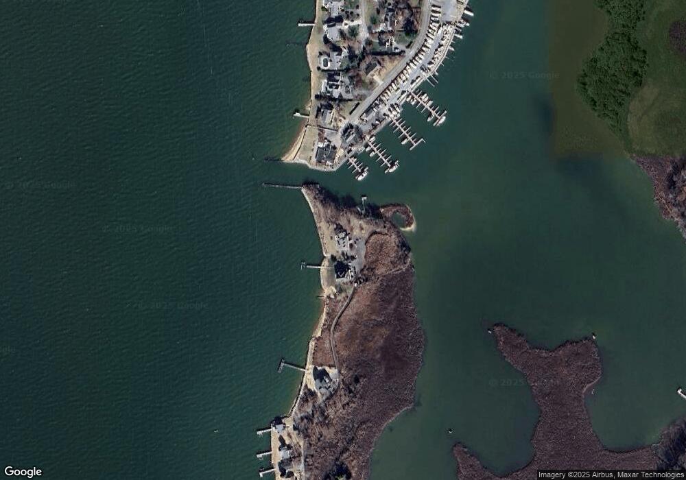
Map
Nearby Homes
- 321 Oregon Rd
- 312 Columbia Ln
- 412 Five Farms Dr
- 101 Oak St
- 303 Queen Anne Club Dr
- 410 5 Farms Dr
- 122 S Carolina Rd
- 227 Queen Anne Club Dr
- 306 N Lake Rd
- 206 Columbia Ln
- 116 Talbot Rd
- 116 Mallard Dr
- 122 Mallard Dr
- 303 Queens Colony High Rd
- 312 Queens Colony High Rd
- 511 Chesapeake Ave
- 224 Wicomico Rd
- 300 Talbot Rd
- 114 Queens Colony High Rd
- 0 Allen Ave
- 157 Beach Rd
- 412 Congressional Dr
- 410 Congressional Dr
- 150 Beach Rd
- 408 Congressional Dr
- 406 Congressional Dr
- 406 Queens Ct
- 145 Beach Rd
- 407 Queens Ct
- 404 Queens Ct
- 141 Beach Rd
- 403 Queens Ct
- 139 Beach Rd
- 402 Queens Ct
- 137 Beach Rd
- 401 Queens Ct
- 0 Beach Rd
- 400 Queens Ct
- 500 Queens Ct
- 317 Congressional Dr