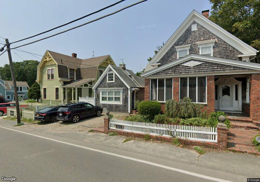
162 Bradford St Unit 5 Provincetown, MA 02657
Estimated Value: $504,000 - $563,000
1
Bed
1
Bath
340
Sq Ft
$1,579/Sq Ft
Est. Value
About This Home
This home is located at 162 Bradford St Unit 5, Provincetown, MA 02657 and is currently estimated at $536,960, approximately $1,579 per square foot. 162 Bradford St Unit 5 is a home located in Barnstable County with nearby schools including Provincetown Schools.
Ownership History
Date
Name
Owned For
Owner Type
Purchase Details
Closed on
Aug 15, 2011
Sold by
Russell David
Bought by
Tate Jennifer A and Shayer Suzanne V
Current Estimated Value
Home Financials for this Owner
Home Financials are based on the most recent Mortgage that was taken out on this home.
Original Mortgage
$135,000
Outstanding Balance
$92,876
Interest Rate
4.51%
Mortgage Type
Purchase Money Mortgage
Estimated Equity
$444,084
Create a Home Valuation Report for This Property
The Home Valuation Report is an in-depth analysis detailing your home's value as well as a comparison with similar homes in the area
Home Values in the Area
Average Home Value in this Area
Purchase History
| Date | Buyer | Sale Price | Title Company |
|---|---|---|---|
| Tate Jennifer A | $180,000 | -- | |
| Tate Jennifer A | $180,000 | -- | |
| Tate Jennifer A | $180,000 | -- |
Source: Public Records
Mortgage History
| Date | Status | Borrower | Loan Amount |
|---|---|---|---|
| Open | Tate Jennifer A | $135,000 | |
| Closed | Tate Jennifer A | $135,000 | |
| Previous Owner | Tate Jennifer A | $46,700 |
Source: Public Records
Tax History Compared to Growth
Tax History
| Year | Tax Paid | Tax Assessment Tax Assessment Total Assessment is a certain percentage of the fair market value that is determined by local assessors to be the total taxable value of land and additions on the property. | Land | Improvement |
|---|---|---|---|---|
| 2025 | $2,537 | $453,000 | $0 | $453,000 |
| 2024 | $2,385 | $427,400 | $0 | $427,400 |
| 2023 | $2,140 | $357,800 | $0 | $357,800 |
| 2022 | $1,763 | $264,700 | $0 | $264,700 |
| 2021 | $1,807 | $255,200 | $0 | $255,200 |
| 2020 | $1,640 | $247,700 | $0 | $247,700 |
| 2019 | $1,650 | $233,700 | $0 | $233,700 |
| 2018 | $1,482 | $198,900 | $0 | $198,900 |
| 2017 | $1,475 | $191,300 | $0 | $191,300 |
| 2016 | $1,407 | $180,400 | $0 | $180,400 |
| 2015 | $1,218 | $165,100 | $0 | $165,100 |
Source: Public Records
Map
Nearby Homes
- 167 Bradford St Unit B
- 404 Commercial St Unit 1
- 404 Commercial St Unit 2
- 37 Pearl St
- 36 Pearl St Unit 2
- 36 Pearl St Unit 3
- 15 Center St
- 405 Commercial St Unit 5
- 4 Center St
- 184 Bradford St Unit 1
- 361b Commercial St Unit U3
- 143 Bradford St Unit A
- 5 Kiley Ct Unit 2
- 441 Commercial St Unit B
- 351A Commercial St Unit A1
- 452 Commercial St Unit 3
- 33 Conwell St Unit 5B
- 16 Off Conwell St
- 162 Bradford St Unit 3
- 162 Bradford St Unit 2
- 162 Bradford St Unit 1
- 162 Bradford St Unit 4
- 25 Pearl St
- 163 Bradford St Unit 3
- 163 Bradford St Unit 2
- 163 Bradford St Unit 1
- 22 Pearl St Unit 5
- 22 Pearl St Unit 3
- 22 Pearl St Unit 2
- 22 Pearl St Unit 1
- 22 Pearl St Unit 1 & 3
- 22 Pearl St Unit 4
- 5 Pearl St
- 4 Pearl St
- 21 Pearl St
- 27 Pearl St
- 27 Pearl St Unit 1 & 2
- 158 Bradford St