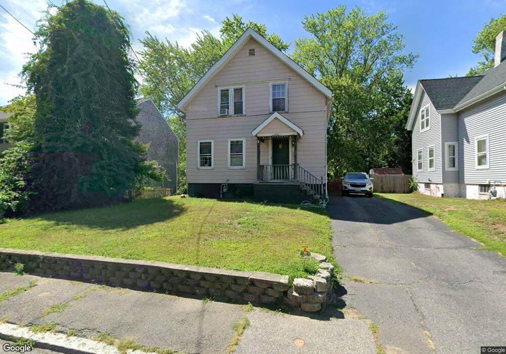
162 Broad St North Attleboro, MA 02760
North Attleboro NeighborhoodEstimated Value: $382,000 - $440,115
4
Beds
1
Bath
1,148
Sq Ft
$367/Sq Ft
Est. Value
About This Home
This home is located at 162 Broad St, North Attleboro, MA 02760 and is currently estimated at $421,529, approximately $367 per square foot. 162 Broad St is a home located in Bristol County with nearby schools including North Attleboro High School and Cadence Academy Preschool - North Attleborough.
Ownership History
Date
Name
Owned For
Owner Type
Purchase Details
Closed on
Feb 17, 2023
Sold by
Michaud Linda and Michaud Robert J
Bought by
Michaud Ft
Current Estimated Value
Purchase Details
Closed on
Apr 17, 2012
Sold by
Michaud Linda and Michaud Richard R
Bought by
Michaud Linda and Michaud Richard R
Purchase Details
Closed on
Apr 12, 2011
Sold by
Michaud Gloria M Est
Bought by
Michaud Richard R and Machaud Linda
Purchase Details
Closed on
Jan 1, 1962
Bought by
Michaud Richard R and Michaud Linda
Create a Home Valuation Report for This Property
The Home Valuation Report is an in-depth analysis detailing your home's value as well as a comparison with similar homes in the area
Home Values in the Area
Average Home Value in this Area
Purchase History
| Date | Buyer | Sale Price | Title Company |
|---|---|---|---|
| Michaud Ft | -- | None Available | |
| Michaud Linda | -- | None Available | |
| Michaud Linda | -- | -- | |
| Michaud Richard R | -- | -- | |
| Michaud Richard R | -- | -- |
Source: Public Records
Tax History Compared to Growth
Tax History
| Year | Tax Paid | Tax Assessment Tax Assessment Total Assessment is a certain percentage of the fair market value that is determined by local assessors to be the total taxable value of land and additions on the property. | Land | Improvement |
|---|---|---|---|---|
| 2025 | $3,980 | $337,600 | $111,900 | $225,700 |
| 2024 | $3,802 | $329,500 | $111,900 | $217,600 |
| 2023 | $3,799 | $297,000 | $111,900 | $185,100 |
| 2022 | $3,799 | $272,700 | $111,900 | $160,800 |
| 2021 | $3,623 | $253,900 | $111,900 | $142,000 |
| 2020 | $3,595 | $250,500 | $111,900 | $138,600 |
| 2019 | $3,342 | $234,700 | $101,700 | $133,000 |
| 2018 | $2,980 | $223,400 | $101,700 | $121,700 |
| 2017 | $2,803 | $212,000 | $101,700 | $110,300 |
| 2016 | $2,698 | $204,100 | $113,000 | $91,100 |
| 2015 | $2,608 | $198,500 | $118,700 | $79,800 |
| 2014 | $2,614 | $197,400 | $109,700 | $87,700 |
Source: Public Records
Map
Nearby Homes
- 20 South St
- 64 Smith St
- 35-R Whiting St
- 68 Fisher St
- 45 Moran St
- 19 Church St Unit A5
- 188 Smith St
- 8 Al Pace Dr Unit 8
- 85 Richards Ave
- 16 Richards Ave Unit 106
- 212 Fisher St Unit A5
- 16 Elizabeth St
- 93 Bank St
- 217 Fisher St
- 1066 Mount Hope St
- 880 Landry Ave Unit 2
- 0 Landry 2nd Unit 73350867
- 42 2nd Ave Unit 24
- 99 Arnold Rd
- 20 Holbrook Ave
- 166 Broad St
- 128 Broad St Unit 4
- 128 Broad St Unit 3
- 128 Broad St Unit 2
- 128 Broad St Unit 1
- 172 Broad St
- 158 Broad St Unit 4
- 158 Broad St Unit 3
- 158 Broad St Unit 2
- 158 Broad St Unit 1
- 165 Broad St
- 148 Broad St Unit 4
- 148 Broad St Unit 3
- 148 Broad St Unit 2
- 148 Broad St Unit 1
- 148 Broad St Unit 2,1
- 176 Broad St
- 171 Broad St
- 180 Broad St
- 14 Adams St