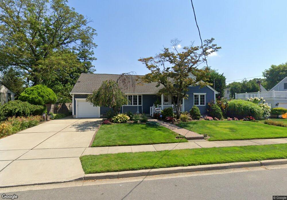
162 Broadway Bethpage, NY 11714
Estimated Value: $680,842 - $902,000
Studio
1
Bath
1,848
Sq Ft
$428/Sq Ft
Est. Value
About This Home
This home is located at 162 Broadway, Bethpage, NY 11714 and is currently estimated at $791,421, approximately $428 per square foot. 162 Broadway is a home located in Nassau County with nearby schools including Central Boulevard Elementary School, John F Kennedy Middle School, and Bethpage Senior High School.
Ownership History
Date
Name
Owned For
Owner Type
Purchase Details
Closed on
Jun 8, 2010
Sold by
George Kivo Patricia A and George Munisteni
Bought by
Kivo Patricia
Current Estimated Value
Home Financials for this Owner
Home Financials are based on the most recent Mortgage that was taken out on this home.
Original Mortgage
$210,000
Interest Rate
4.98%
Mortgage Type
Unknown
Purchase Details
Closed on
Jan 30, 1997
Sold by
Moritz Jean
Bought by
Kivo Patricia and Munisteri George
Create a Home Valuation Report for This Property
The Home Valuation Report is an in-depth analysis detailing your home's value as well as a comparison with similar homes in the area
Home Values in the Area
Average Home Value in this Area
Purchase History
| Date | Buyer | Sale Price | Title Company |
|---|---|---|---|
| Kivo Patricia | -- | -- | |
| Kivo Patricia | $187,000 | -- |
Source: Public Records
Mortgage History
| Date | Status | Borrower | Loan Amount |
|---|---|---|---|
| Previous Owner | Kivo Patricia | $210,000 |
Source: Public Records
Tax History
| Year | Tax Paid | Tax Assessment Tax Assessment Total Assessment is a certain percentage of the fair market value that is determined by local assessors to be the total taxable value of land and additions on the property. | Land | Improvement |
|---|---|---|---|---|
| 2025 | $10,810 | $485 | $250 | $235 |
| 2024 | $4,439 | $488 | $252 | $236 |
| 2023 | $10,866 | $511 | $264 | $247 |
| 2022 | $10,866 | $508 | $262 | $246 |
| 2021 | $9,979 | $508 | $262 | $246 |
| 2020 | $9,104 | $512 | $460 | $52 |
| 2019 | $7,863 | $549 | $463 | $86 |
| 2018 | $7,748 | $585 | $0 | $0 |
| 2017 | $4,638 | $622 | $466 | $156 |
| 2016 | $7,835 | $658 | $444 | $214 |
| 2015 | $3,151 | $695 | $469 | $226 |
| 2014 | $3,151 | $695 | $469 | $226 |
| 2013 | $3,001 | $730 | $493 | $237 |
Source: Public Records
Map
Nearby Homes
- 96 S Windhorst Ave
- 12 E Millpage Dr
- 14 Hoover Ln
- 17 Wilson Ln
- 38 Bradford Ln
- 18 Cambridge Ave
- 7 Cambridge Ave
- 4 Manchester Dr
- 4030 Avoca Ave
- 35 Whaley Ave
- 5 Scherer St
- 15 Scherer St
- 94 Harrison Ave
- 106 Harrison Ave
- 57 Roosevelt Dr
- 54 S 1st St
- 15 N Butehorn St
- 120 Brenner Ave
- 116 Stewart Ave Unit B
- 14 W Chestnut St
- 164 Broadway
- 160 Broadway
- 45 William St
- 163 N Windhorst Ave
- 43 William St
- 157 Broadway
- 33 William St
- 161 Broadway
- 171 N Windhorst Ave
- 31 William St
- 167 Broadway
- 148 Broadway
- 154 N Windhorst Ave
- 40 William St
- 160 N Windhorst Ave
- 173 N Windhorst Ave
- 162 Park Ave
- 47 William St
- 149 Broadway
- 171 Broadway
Your Personal Tour Guide
Ask me questions while you tour the home.