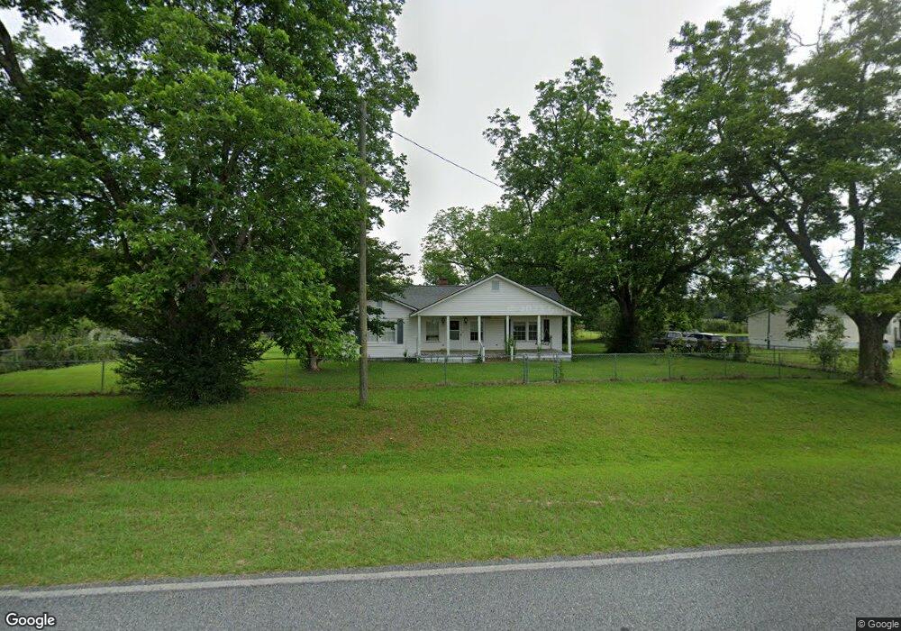
162 Brookfield Lenox Rd Tifton, GA 31794
Estimated Value: $149,000 - $223,000
3
Beds
1
Bath
1,984
Sq Ft
$92/Sq Ft
Est. Value
About This Home
This home is located at 162 Brookfield Lenox Rd, Tifton, GA 31794 and is currently estimated at $181,681, approximately $91 per square foot. 162 Brookfield Lenox Rd is a home located in Tift County with nearby schools including Matt Wilson Elementary School, J.T. Reddick School, and Annie Belle Clark Primary School.
Ownership History
Date
Name
Owned For
Owner Type
Purchase Details
Closed on
Aug 17, 2004
Sold by
Foster Martha P
Bought by
Cox Richard T and Cox Vickie J
Current Estimated Value
Purchase Details
Closed on
Sep 4, 2001
Sold by
Morang Rick D and Rose Mille
Bought by
Foster Martha P
Purchase Details
Closed on
Aug 22, 1997
Sold by
Hayes William B and Hayes Beverly B
Bought by
Morangrick D & Rose Mil
Purchase Details
Closed on
Apr 21, 1988
Sold by
Ponder W R
Bought by
Hayes William B and Hayes Beverly B
Create a Home Valuation Report for This Property
The Home Valuation Report is an in-depth analysis detailing your home's value as well as a comparison with similar homes in the area
Home Values in the Area
Average Home Value in this Area
Purchase History
| Date | Buyer | Sale Price | Title Company |
|---|---|---|---|
| Cox Richard T | $87,500 | -- | |
| Foster Martha P | $78,000 | -- | |
| Morangrick D & Rose Mil | $79,000 | -- | |
| Hayes William B | $27,500 | -- |
Source: Public Records
Tax History Compared to Growth
Tax History
| Year | Tax Paid | Tax Assessment Tax Assessment Total Assessment is a certain percentage of the fair market value that is determined by local assessors to be the total taxable value of land and additions on the property. | Land | Improvement |
|---|---|---|---|---|
| 2024 | $925 | $42,375 | $2,768 | $39,607 |
| 2023 | $1,005 | $35,414 | $3,374 | $32,040 |
| 2022 | $1,051 | $35,414 | $3,374 | $32,040 |
| 2021 | $1,057 | $35,414 | $3,374 | $32,040 |
| 2020 | $1,078 | $35,414 | $3,374 | $32,040 |
| 2019 | $1,075 | $35,414 | $3,374 | $32,040 |
| 2018 | $1,074 | $35,414 | $3,374 | $32,040 |
| 2017 | $1,079 | $35,414 | $3,374 | $32,040 |
| 2016 | $1,080 | $35,414 | $3,374 | $32,040 |
| 2015 | $1,080 | $35,414 | $3,374 | $32,040 |
| 2014 | $1,082 | $35,414 | $3,374 | $32,040 |
| 2013 | -- | $35,414 | $3,374 | $32,040 |
Source: Public Records
Map
Nearby Homes
- 58 Honeysuckle Ln
- 21 Brookfield-Lenox Rd
- 3365 Chula Brookfield Rd
- 204 Brookfield Nashville Rd
- 0 Stone Bridge Rd
- 0 Baker Rd
- 287 Brookfield Nashville Rd
- 2066 U S 82
- 39 Paradise Lake Rd
- 2635 Brookfield-Lenox Rd
- 69 Branch Ln
- 0 E 0 Hwy 125 S
- Tract 5 Harold Tyson Rd
- 350 Copeland Rd
- 2242 U S 82
- 395 Harris St
- Tract 5 Jehu Tyson Rd
- Tract 6 Jehu Tyson Rd
- Tract 2 Harold Tyson Rd
- Tract 3 Harold Tyson Rd
- 156 Brookfield Lenox Rd
- 150 Brookfield Lenox Rd
- 178 Brookfield Lenox Rd
- 174 Brookfield Lenox Rd
- 182 Brookfield Lenox Rd
- 118 Brookfield Lenox Rd
- 60 Hayes Cir
- 40 Hayes Cir
- 54 Hayes Cir
- 44 Hayes Cir
- 81 Hayes Cir
- 31 Smith Ct
- 30 Smith Ct
- 25 Smith Ct
- 24 Smith Ct
- 25 Hayes Cir
- 21 Smith Ct
- 20 Smith Ct
- 19 Hayes Cir
- 15 Smith Ct