Estimated Value: $220,000 - $277,000
Studio
--
Bath
1,074
Sq Ft
$231/Sq Ft
Est. Value
About This Home
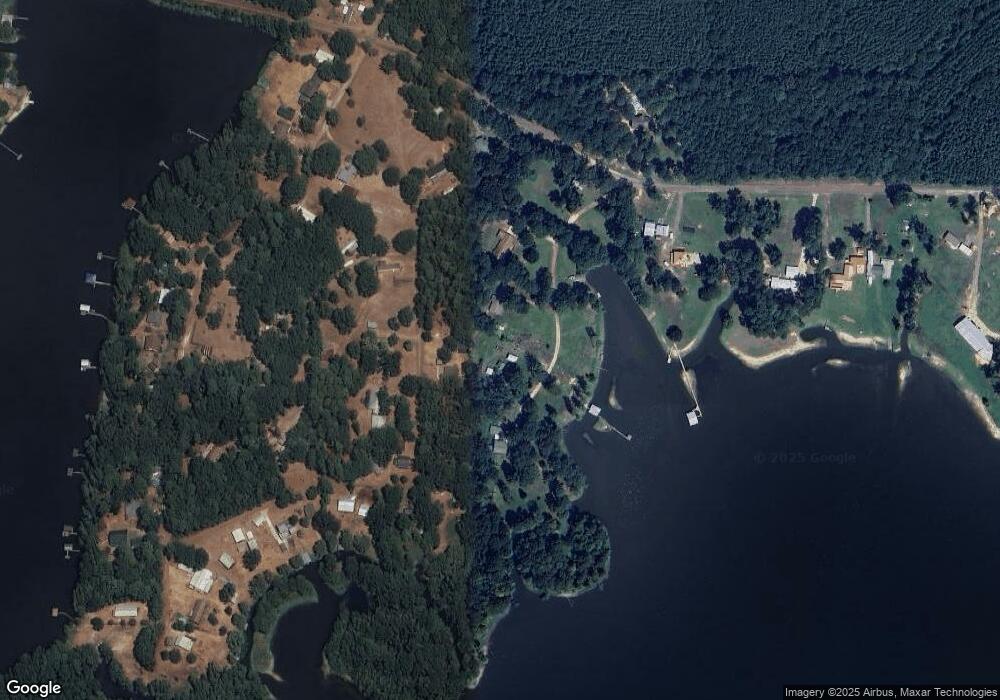
This home is located at 162 Byrd Dr, Many, LA 71449 and is currently estimated at $248,218, approximately $231 per square foot. 162 Byrd Dr is a home with nearby schools including Negreet High School.
Ownership History
Date
Name
Owned For
Owner Type
Purchase Details
Closed on
Aug 4, 2023
Sold by
Perkins Cynthia T
Bought by
Perkings Patrick K
Current Estimated Value
Purchase Details
Closed on
May 17, 2010
Sold by
Blackmon David M and Blackmon Melissa Whiddon
Bought by
Perkins Patrick K and Perkins Cynthia T
Home Financials for this Owner
Home Financials are based on the most recent Mortgage that was taken out on this home.
Original Mortgage
$118,000
Interest Rate
5%
Mortgage Type
New Conventional
Purchase Details
Closed on
Apr 10, 2008
Sold by
Diehl Rex K
Bought by
Blackmon David M and Blackmon Melissa Whiddon
Create a Home Valuation Report for This Property
The Home Valuation Report is an in-depth analysis detailing your home's value as well as a comparison with similar homes in the area
Purchase History
| Date | Buyer | Sale Price | Title Company |
|---|---|---|---|
| Perkings Patrick K | -- | None Listed On Document | |
| Perkins Patrick K | $148,000 | None Available | |
| Blackmon David M | $127,000 | None Available |
Source: Public Records
Mortgage History
| Date | Status | Borrower | Loan Amount |
|---|---|---|---|
| Previous Owner | Perkins Patrick K | $118,000 |
Source: Public Records
Tax History
| Year | Tax Paid | Tax Assessment Tax Assessment Total Assessment is a certain percentage of the fair market value that is determined by local assessors to be the total taxable value of land and additions on the property. | Land | Improvement |
|---|---|---|---|---|
| 2024 | $982 | $19,974 | $4,988 | $14,986 |
| 2023 | $556 | $14,306 | $5,925 | $8,381 |
| 2022 | $1,188 | $14,306 | $5,925 | $8,381 |
| 2021 | $1,279 | $14,306 | $5,925 | $8,381 |
| 2020 | $1,296 | $14,306 | $5,925 | $8,381 |
| 2019 | $1,286 | $14,306 | $5,925 | $8,381 |
| 2018 | $449 | $4,787 | $1,100 | $3,687 |
| 2017 | $373 | $3,930 | $1,100 | $2,830 |
| 2016 | $368 | $3,930 | $1,100 | $2,830 |
| 2015 | $379 | $3,930 | $1,100 | $2,830 |
| 2014 | $377 | $3,930 | $1,100 | $2,830 |
Source: Public Records
Map
Nearby Homes
- 73 McBane Loop
- 60 Miles St
- 75 River Ridge Rd
- 2958 Lakeside Loop Unit 28
- 000 Lakeside Loop Unit Tract 3
- 0 Lakeside Loop Unit 11578653
- 000 Chasin Fin Dr Unit 6
- 000 Chasin Fin Dr Unit 3
- 0 Speight Dr
- 0 Yokum Trail Unit 11607796
- 1 Yokum Trail
- 0 Yokum Trail Unit 11607197
- 0 Cooks Landing Rd
- 0 Belleview Cir
- 65 Quiet Cove Rd Unit 53
- 0 Quiet Cove Rd
- 131 Legand Ln
- 017 Mo Po Ln
- 019 Mo Po Ln
- 015 Mo Po Ln
- 100 Byrd Dr
- 195 Samantha Loop
- 180 Byrd Dr
- 70 Byrd Dr
- 208 Samantha Loop
- 170 McBane Loop
- 272 Samantha Loop
- 261 Samantha Loop
- 265 Samantha Loop
- 2469 Lakeside Loop
- 2595 Lakeside Loop
- 293 Samantha Loop
- 103 McBane Loop
- 2451 Lakeside Loop
- 337 Samantha Loop
- 24 Samantha Loop
- 2470 Lakeside Loop
- 173 Miles St
- 173 Miles St Unit 124
- 51 Samantha Loop
