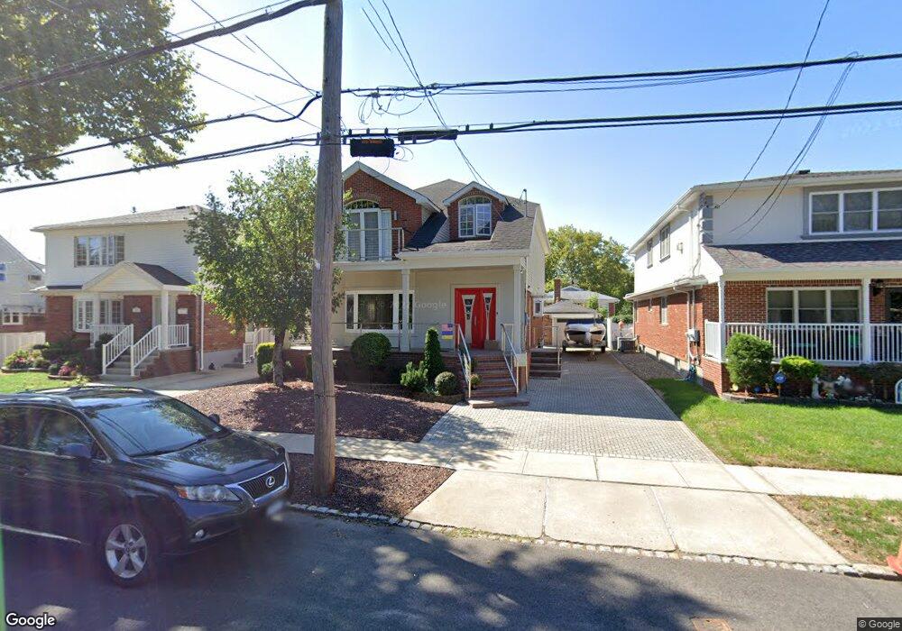
162 Cannon Blvd Staten Island, NY 10306
New Dorp NeighborhoodEstimated Value: $1,027,000 - $1,207,000
3
Beds
4
Baths
2,538
Sq Ft
$444/Sq Ft
Est. Value
About This Home
This home is located at 162 Cannon Blvd, Staten Island, NY 10306 and is currently estimated at $1,126,483, approximately $443 per square foot. 162 Cannon Blvd is a home located in Richmond County with nearby schools including P.S. 41 The Stephanie a Vierno School, Is 2 George L Egbert, and New Dorp High School.
Ownership History
Date
Name
Owned For
Owner Type
Purchase Details
Closed on
Oct 13, 2010
Sold by
Redpath Peter A and Redpath Lorraine K
Bought by
Weisberg Yan and Weisberg Alena
Current Estimated Value
Home Financials for this Owner
Home Financials are based on the most recent Mortgage that was taken out on this home.
Original Mortgage
$544,000
Outstanding Balance
$359,712
Interest Rate
4.39%
Mortgage Type
New Conventional
Estimated Equity
$766,771
Create a Home Valuation Report for This Property
The Home Valuation Report is an in-depth analysis detailing your home's value as well as a comparison with similar homes in the area
Home Values in the Area
Average Home Value in this Area
Purchase History
| Date | Buyer | Sale Price | Title Company |
|---|---|---|---|
| Weisberg Yan | $680,000 | First Amer Title Ins Co Ny |
Source: Public Records
Mortgage History
| Date | Status | Borrower | Loan Amount |
|---|---|---|---|
| Open | Weisberg Yan | $544,000 |
Source: Public Records
Tax History Compared to Growth
Tax History
| Year | Tax Paid | Tax Assessment Tax Assessment Total Assessment is a certain percentage of the fair market value that is determined by local assessors to be the total taxable value of land and additions on the property. | Land | Improvement |
|---|---|---|---|---|
| 2025 | $10,180 | $66,900 | $10,159 | $56,741 |
| 2024 | $10,179 | $69,420 | $9,549 | $59,871 |
| 2023 | $9,838 | $48,442 | $9,706 | $38,736 |
| 2022 | $9,248 | $57,180 | $13,080 | $44,100 |
| 2021 | $9,330 | $48,840 | $13,080 | $35,760 |
| 2020 | $9,165 | $46,020 | $13,080 | $32,940 |
| 2019 | $8,835 | $49,920 | $13,080 | $36,840 |
| 2018 | $8,229 | $40,368 | $11,311 | $29,057 |
| 2017 | $7,870 | $38,607 | $11,955 | $26,652 |
| 2016 | $7,386 | $36,946 | $9,727 | $27,219 |
| 2015 | $6,754 | $36,082 | $7,999 | $28,083 |
| 2014 | $6,754 | $35,196 | $9,365 | $25,831 |
Source: Public Records
Map
Nearby Homes
- 218 Cannon Blvd
- 215 Cannon Blvd
- 13 Ella Place
- 205 Penn Ave
- 193 10th St
- 193 10 St
- 91 Allison Ave
- 77 Penn Ave
- 109 10th St
- 351 8th St
- 305 Tysens Ln Unit B
- 4 Penn Ave
- 109 8th St
- 20 Francine Ct Unit A
- 32 Francine Ct Unit B
- 52A Francine Ct Unit 80A
- 52 Francine Ct Unit A
- 745 Clawson St
- 373 Rose Ave
- 2981 Hylan Blvd
- 158 Cannon Blvd
- 166 Cannon Blvd Unit 2
- 166 Cannon Blvd
- 154 Cannon Blvd
- 157 Reno Ave
- 163 Reno Ave
- 170 Cannon Blvd
- 561 Clawson St
- 153 Reno Ave
- 167 Reno Ave
- 150 Cannon Blvd
- 149 Reno Ave
- 163 Cannon Blvd
- 171 Reno Ave
- 159 Cannon Blvd
- 167 Cannon Blvd
- 146 Cannon Blvd
- 155 Cannon Blvd
- 143 Reno Ave
- 171 Cannon Blvd