162 Foreman Dr Athens, GA 30605
Estimated Value: $270,000 - $294,000
3
Beds
4
Baths
1,360
Sq Ft
$207/Sq Ft
Est. Value
About This Home
This home is located at 162 Foreman Dr, Athens, GA 30605 and is currently estimated at $281,173, approximately $206 per square foot. 162 Foreman Dr is a home located in Clarke County with nearby schools including Barnett Shoals Elementary School, Hilsman Middle School, and Cedar Shoals High School.
Ownership History
Date
Name
Owned For
Owner Type
Purchase Details
Closed on
Apr 30, 2019
Sold by
Collett Stephen
Bought by
162 Foreman Drive Llc
Current Estimated Value
Purchase Details
Closed on
Dec 7, 2018
Sold by
Collett Stephen
Bought by
Stephen And Felicity Collett Liv Trust
Purchase Details
Closed on
Sep 1, 2009
Sold by
Community Bank
Bought by
Collett Stephen
Home Financials for this Owner
Home Financials are based on the most recent Mortgage that was taken out on this home.
Original Mortgage
$89,795
Interest Rate
5.15%
Mortgage Type
New Conventional
Purchase Details
Closed on
Apr 7, 2009
Sold by
Jennings Investments Llc
Bought by
Community Bank & Trust
Purchase Details
Closed on
May 10, 2007
Sold by
Not Provided
Bought by
Collett Stephen
Create a Home Valuation Report for This Property
The Home Valuation Report is an in-depth analysis detailing your home's value as well as a comparison with similar homes in the area
Purchase History
| Date | Buyer | Sale Price | Title Company |
|---|---|---|---|
| 162 Foreman Drive Llc | -- | -- | |
| Stephen And Felicity Collett Liv Trust | -- | -- | |
| Collett Stephen | $112,300 | -- | |
| Community Bank & Trust | -- | -- | |
| Collett Stephen | $31,650 | -- |
Source: Public Records
Mortgage History
| Date | Status | Borrower | Loan Amount |
|---|---|---|---|
| Previous Owner | Collett Stephen | $89,795 |
Source: Public Records
Tax History
| Year | Tax Paid | Tax Assessment Tax Assessment Total Assessment is a certain percentage of the fair market value that is determined by local assessors to be the total taxable value of land and additions on the property. | Land | Improvement |
|---|---|---|---|---|
| 2025 | $3,425 | $110,293 | $10,400 | $99,893 |
| 2024 | $3,425 | $108,216 | $10,400 | $97,816 |
| 2023 | $3,382 | $106,332 | $10,400 | $95,932 |
| 2022 | $2,437 | $76,387 | $10,400 | $65,987 |
| 2021 | $2,048 | $60,761 | $8,000 | $52,761 |
| 2020 | $2,037 | $60,436 | $8,000 | $52,436 |
| 2019 | $1,903 | $56,046 | $8,000 | $48,046 |
| 2018 | $1,733 | $51,049 | $8,000 | $43,049 |
| 2017 | $1,658 | $48,834 | $8,000 | $40,834 |
| 2016 | $1,405 | $41,375 | $8,000 | $33,375 |
| 2015 | $1,410 | $41,456 | $8,000 | $33,456 |
| 2014 | $1,408 | $41,342 | $8,000 | $33,342 |
Source: Public Records
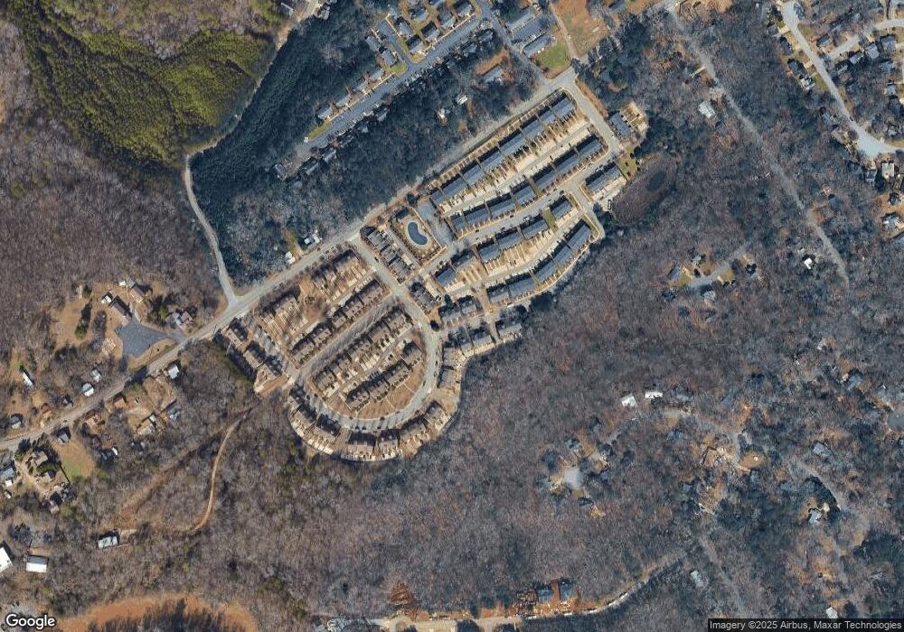
Map
Nearby Homes
- 223 Oconee River Cir
- 365 Whitehall Rd
- 369 Whitehall Rd
- 400 Ansley Dr
- 380 Ansley Dr
- 140 Whitehall Rd
- 370 Ansley Dr
- 360 Ansley Dr
- 620 Snapfinger Dr
- 119 Pine Ridge Trace
- 148 Warren Way
- 585 White Cir Unit 509
- 585 White Cir Unit 17
- 585 White Cir Unit 402
- 585 White Cir Unit 406
- 195 Gibbons Way
- 375 Segrest Cir
- 325 Segrest Cir
- 109 Layla Ct
- 215 Milford Dr
- 160 Foreman Dr
- 164 Foreman Dr
- 154 Foreman Dr
- 155 Oconee River Cir
- 152 Foreman Dr
- 150 Foreman Dr
- 151 Oconee River Cir
- 147 Oconee River Cir
- 177 Center Park Ln
- 175 Center Park Ln
- 163 Foreman Dr
- 173 Center Park Ln
- 143 Oconee River Cir
- 171 Center Park Ln
- 161 Foreman Dr
- 157 Foreman Dr
- 155 Foreman Dr
- 167 Center Park Ln
- 153 Foreman Dr
- 201 Center Park Ln
Your Personal Tour Guide
Ask me questions while you tour the home.