162 Heron Ln Gilbert, SC 29054
Estimated Value: $897,000 - $1,305,000
4
Beds
5
Baths
3,562
Sq Ft
$296/Sq Ft
Est. Value
About This Home
This home is located at 162 Heron Ln, Gilbert, SC 29054 and is currently estimated at $1,055,682, approximately $296 per square foot. 162 Heron Ln is a home located in Lexington County with nearby schools including Centerville Elementary School, Gilbert Middle School, and Gilbert High School.
Ownership History
Date
Name
Owned For
Owner Type
Purchase Details
Closed on
Oct 3, 2023
Sold by
Bittinger Paul James and Johnson Rebecca Lynn
Bought by
Bittinger Revocable Living Trust and Bittinger
Current Estimated Value
Purchase Details
Closed on
May 25, 2016
Sold by
Lunsford Paul Richard
Bought by
Bittinger Paul James and Bittinger Paul
Home Financials for this Owner
Home Financials are based on the most recent Mortgage that was taken out on this home.
Original Mortgage
$512,000
Interest Rate
3.66%
Mortgage Type
New Conventional
Create a Home Valuation Report for This Property
The Home Valuation Report is an in-depth analysis detailing your home's value as well as a comparison with similar homes in the area
Home Values in the Area
Average Home Value in this Area
Purchase History
| Date | Buyer | Sale Price | Title Company |
|---|---|---|---|
| Bittinger Revocable Living Trust | -- | None Listed On Document | |
| Bittinger Paul James | $640,000 | None Available |
Source: Public Records
Mortgage History
| Date | Status | Borrower | Loan Amount |
|---|---|---|---|
| Previous Owner | Bittinger Paul James | $512,000 |
Source: Public Records
Tax History
| Year | Tax Paid | Tax Assessment Tax Assessment Total Assessment is a certain percentage of the fair market value that is determined by local assessors to be the total taxable value of land and additions on the property. | Land | Improvement |
|---|---|---|---|---|
| 2024 | $3,784 | $25,659 | $13,200 | $12,459 |
| 2023 | $3,832 | $25,659 | $13,200 | $12,459 |
| 2022 | $3,821 | $25,659 | $13,200 | $12,459 |
| 2020 | $3,919 | $25,659 | $13,200 | $12,459 |
| 2019 | $3,980 | $25,600 | $9,600 | $16,000 |
| 2018 | $3,906 | $25,600 | $9,600 | $16,000 |
| 2017 | $3,789 | $25,600 | $9,600 | $16,000 |
| 2016 | $2,476 | $19,547 | $9,600 | $9,947 |
| 2014 | $2,982 | $23,956 | $13,200 | $10,756 |
| 2013 | -- | $23,960 | $13,200 | $10,760 |
Source: Public Records
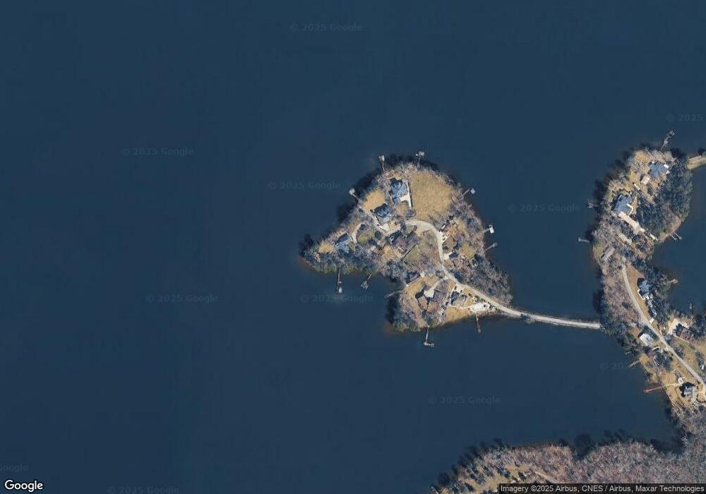
Map
Nearby Homes
- 621 Tom Drafts Cir
- 501 Canasta Dr
- 159 Harvest Moon Dr
- 1366 Camping Rd
- 1334 Camping Rd
- 100 Osprey Point
- 1301 Camping Rd
- 573 Canasta Dr
- 102 Hideaway Cove Ct
- 144 Harbour Watch Blvd
- 639 Shining Sun Ct
- 111 Buccaneer Place
- 642 Shining Sun Ct
- 624 E Point Dr
- 377 Still Shores Dr
- 316 Still Shores Dr
- 320 Still Shores Dr
- 421 W Point Dr
- 325 Adams Ln
- 0 Shirey Branch Rd Unit 617988
- 158 Heron Ln
- 151 Heron Ln
- 145 Heron Ln
- 154 Heron Ln
- 137 Heron Ln
- 144 Heron Ln
- 131 Heron Ln
- 539 Peninsula Dr
- 525 Peninsula Dr
- 545 Peninsula Dr
- Lot 8 & Pt Of 9 Peninsula Dr
- 540 Peninsula Dr
- 536 Peninsula Dr
- 0 Peninsula Dr Unit 275510
- 0 Peninsula Dr Unit 301149
- 531 Beulah Church Rd
- 559 Peninsula Dr
- 527 Beulah Church Rd
- 526 Beulah Church Rd
- 523 Beulah Church Rd
Your Personal Tour Guide
Ask me questions while you tour the home.