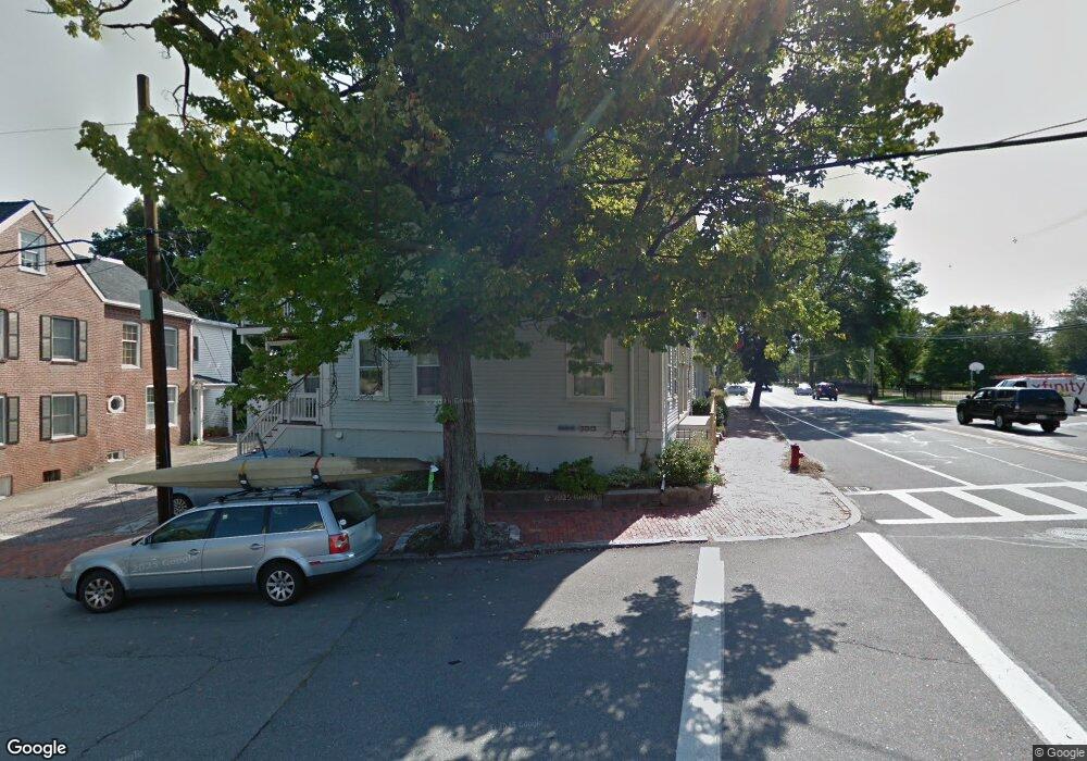
162 High St Unit A Newburyport, MA 01950
Estimated Value: $447,000 - $615,000
1
Bed
1
Bath
703
Sq Ft
$754/Sq Ft
Est. Value
About This Home
This home is located at 162 High St Unit A, Newburyport, MA 01950 and is currently estimated at $530,334, approximately $754 per square foot. 162 High St Unit A is a home located in Essex County with nearby schools including Francis T. Bresnahan Elementary School, Edward G. Molin Elementary School, and Rupert A. Nock Middle School.
Ownership History
Date
Name
Owned For
Owner Type
Purchase Details
Closed on
Jun 29, 2005
Sold by
Coder Jane V and Coder Richard F
Bought by
Smyrski Patricia M
Current Estimated Value
Home Financials for this Owner
Home Financials are based on the most recent Mortgage that was taken out on this home.
Original Mortgage
$200,000
Interest Rate
5.73%
Mortgage Type
Purchase Money Mortgage
Purchase Details
Closed on
Aug 2, 1996
Sold by
Macdonald Julie A and Olszewski Julie A
Bought by
Allen Christopher S and Spofford Katherine J
Home Financials for this Owner
Home Financials are based on the most recent Mortgage that was taken out on this home.
Original Mortgage
$112,500
Interest Rate
8.27%
Mortgage Type
Purchase Money Mortgage
Create a Home Valuation Report for This Property
The Home Valuation Report is an in-depth analysis detailing your home's value as well as a comparison with similar homes in the area
Home Values in the Area
Average Home Value in this Area
Purchase History
| Date | Buyer | Sale Price | Title Company |
|---|---|---|---|
| Smyrski Patricia M | $285,000 | -- | |
| Allen Christopher S | $125,000 | -- |
Source: Public Records
Mortgage History
| Date | Status | Borrower | Loan Amount |
|---|---|---|---|
| Open | Allen Christopher S | $189,500 | |
| Closed | Allen Christopher S | $200,000 | |
| Previous Owner | Allen Christopher S | $112,500 | |
| Previous Owner | Allen Christopher S | $92,000 |
Source: Public Records
Tax History Compared to Growth
Tax History
| Year | Tax Paid | Tax Assessment Tax Assessment Total Assessment is a certain percentage of the fair market value that is determined by local assessors to be the total taxable value of land and additions on the property. | Land | Improvement |
|---|---|---|---|---|
| 2025 | $4,133 | $431,400 | $0 | $431,400 |
| 2024 | $3,322 | $333,200 | $0 | $333,200 |
| 2023 | $3,307 | $307,900 | $0 | $307,900 |
| 2022 | $3,225 | $268,500 | $0 | $268,500 |
| 2021 | $3,420 | $270,600 | $0 | $270,600 |
| 2020 | $3,250 | $253,100 | $0 | $253,100 |
| 2019 | $3,135 | $239,700 | $0 | $239,700 |
| 2018 | $3,083 | $232,500 | $0 | $232,500 |
| 2017 | $2,846 | $211,600 | $0 | $211,600 |
| 2016 | $2,409 | $179,900 | $0 | $179,900 |
| 2015 | $2,293 | $171,900 | $0 | $171,900 |
Source: Public Records
Map
Nearby Homes
- 2 Court St Unit 4
- 41 Washington St Unit B
- 44 Washington St Unit C
- 45 Boardman St Unit 1
- 1 Hill St
- 1 Hill St Unit 1
- 58 Merrimac St Unit 2-5
- 105 State St Unit 301
- 105 State St Unit 101
- 105 State St Unit 201
- 95 High St Unit 4
- 95 High St Unit 1
- 14 Dexter Ln Unit B
- 14 Dexter Ln Unit A
- 10 10th St
- 11 Charter St
- 158 Merrimac St Unit 3
- 126 Merrimac St Unit 35
- 30-32 Water St Unit 4
- 11 Orange St Unit 2
- 162 High St Unit C
- 162 High St Unit B
- 162 High St Unit 162 A
- 156A High St Unit 156A
- 160 High St
- 160 High St Unit B
- 160 High St Unit A
- 158 High St Unit C
- 158 High St Unit B
- 158 High St Unit A
- 160 High St Unit 160A
- 160 High St Unit 156-162
- 160 High St Unit C
- 158 A High St Unit A
- 158 B High St Unit B
- 156 High St Unit B
- 45 Market St
- 154 High St
- 151 High St Unit 1D
- 151 High St Unit 1C