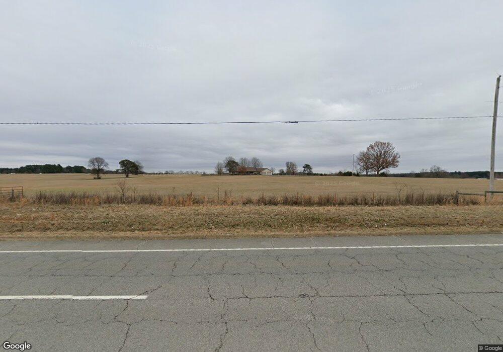
162 Highway 25 N Greenbrier, AR 72058
Estimated Value: $237,000 - $418,488
--
Bed
2
Baths
2,065
Sq Ft
$153/Sq Ft
Est. Value
About This Home
This home is located at 162 Highway 25 N, Greenbrier, AR 72058 and is currently estimated at $316,622, approximately $153 per square foot. 162 Highway 25 N is a home located in Faulkner County with nearby schools including Guy-Perkins Elementary School and Guy-Perkins High School.
Ownership History
Date
Name
Owned For
Owner Type
Purchase Details
Closed on
Nov 9, 2009
Bought by
Establish Boundary Lines For
Current Estimated Value
Purchase Details
Closed on
Sep 26, 2008
Bought by
Ar Midstram Gas Serv Corp
Purchase Details
Closed on
Mar 21, 2003
Bought by
Esmnt
Purchase Details
Closed on
Oct 23, 2002
Bought by
Reliant Energy Gas Esmt
Purchase Details
Closed on
May 13, 2002
Bought by
Entergy
Purchase Details
Closed on
Jan 18, 1990
Bought by
Bivens C and Bivens H
Create a Home Valuation Report for This Property
The Home Valuation Report is an in-depth analysis detailing your home's value as well as a comparison with similar homes in the area
Home Values in the Area
Average Home Value in this Area
Purchase History
| Date | Buyer | Sale Price | Title Company |
|---|---|---|---|
| Establish Boundary Lines For | -- | -- | |
| Ar Midstram Gas Serv Corp | -- | -- | |
| Esmnt | -- | -- | |
| Reliant Energy Gas Esmt | -- | -- | |
| Entergy | -- | -- | |
| Esmt Agrmnt Waterline | -- | -- | |
| Bivens C | -- | -- | |
| Fielder 79 A T | -- | -- |
Source: Public Records
Tax History Compared to Growth
Tax History
| Year | Tax Paid | Tax Assessment Tax Assessment Total Assessment is a certain percentage of the fair market value that is determined by local assessors to be the total taxable value of land and additions on the property. | Land | Improvement |
|---|---|---|---|---|
| 2025 | $1,368 | $61,360 | $5,380 | $55,980 |
| 2024 | $1,368 | $61,360 | $5,380 | $55,980 |
| 2023 | $1,361 | $45,950 | $5,240 | $40,710 |
| 2022 | $1,022 | $45,950 | $5,240 | $40,710 |
| 2021 | $1,022 | $45,950 | $5,240 | $40,710 |
| 2020 | $1,010 | $39,480 | $4,420 | $35,060 |
| 2019 | $1,010 | $39,480 | $4,420 | $35,060 |
| 2018 | $1,035 | $39,480 | $4,420 | $35,060 |
| 2017 | $1,035 | $39,480 | $4,420 | $35,060 |
| 2016 | $1,028 | $26,700 | $4,420 | $22,280 |
| 2015 | $1,787 | $37,380 | $4,030 | $33,350 |
| 2014 | $1,111 | $29,440 | $2,640 | $26,800 |
Source: Public Records
Map
Nearby Homes
- 10 Sugar Maple Dr
- 2 Silver Leaf Cove
- 6 Sugar Maple Dr
- 26 High Point Dr
- 32 High Point Dr
- 31 High Point Dr
- 37 High Point Dr
- 6 Stockbridge Dr
- 51 Summerlyn Place Dr
- 69 Summer Sky Dr
- 27 Woodridge Dr
- 73 Summer Sky Dr
- 77 Summer Sky Dr
- 0 Beene Rd
- 0000 Galley Ln
- 62 Mill Creek Dr
- 5 Pine Shadow
- 43 Mill Stone Dr
- 4 Woodridge Dr
- 17 Ozark Dr
- 162 Highway 25 N
- 161 Highway 25 N
- 101 E Republican Rd
- 0000 Banister Rd
- 00 Banister Rd
- 3 Banister Rd
- 179 Highway 25 N
- 145 Highway 25 N
- 7 Banister Rd
- 199 Highway 25 N
- 186 Highway 25 N
- 372 Highway 25
- 355 Highway 25
- N Highway 25 N
- 192 Highway 25 N
- 25 Banister Rd
- 29 Chinquapin Rd
- 29 Chinquapin Rd
- 191 Highway 25 N
- 139 Highway 25 N