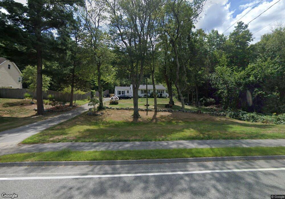
162 Linebrook Rd Ipswich, MA 01938
Estimated Value: $635,261 - $685,000
2
Beds
1
Bath
1,374
Sq Ft
$475/Sq Ft
Est. Value
About This Home
This home is located at 162 Linebrook Rd, Ipswich, MA 01938 and is currently estimated at $653,315, approximately $475 per square foot. 162 Linebrook Rd is a home located in Essex County with nearby schools including Ipswich High School, North Shore Montessori School, and Clark School.
Ownership History
Date
Name
Owned For
Owner Type
Purchase Details
Closed on
Apr 27, 2001
Sold by
Marston Deborah S and Marston Shaun A
Bought by
Baker Benjamin M and Baker Jennifer A
Current Estimated Value
Purchase Details
Closed on
Jan 8, 2001
Sold by
Marston Bruce P
Bought by
Marston Shaun A and Marston Deborah S
Purchase Details
Closed on
May 21, 1999
Sold by
Descenza Francis P
Bought by
Marston Bruce P
Create a Home Valuation Report for This Property
The Home Valuation Report is an in-depth analysis detailing your home's value as well as a comparison with similar homes in the area
Home Values in the Area
Average Home Value in this Area
Purchase History
| Date | Buyer | Sale Price | Title Company |
|---|---|---|---|
| Baker Benjamin M | $1,208 | -- | |
| Baker Benjamin M | $1,208 | -- | |
| Marston Shaun A | $260,000 | -- | |
| Marston Shaun A | $260,000 | -- | |
| Marston Bruce P | $195,000 | -- | |
| Marston Bruce P | $195,000 | -- |
Source: Public Records
Mortgage History
| Date | Status | Borrower | Loan Amount |
|---|---|---|---|
| Open | Marston Bruce P | $103,000 | |
| Closed | Marston Bruce P | $100,000 |
Source: Public Records
Tax History Compared to Growth
Tax History
| Year | Tax Paid | Tax Assessment Tax Assessment Total Assessment is a certain percentage of the fair market value that is determined by local assessors to be the total taxable value of land and additions on the property. | Land | Improvement |
|---|---|---|---|---|
| 2025 | $5,639 | $505,700 | $298,900 | $206,800 |
| 2024 | $5,607 | $492,700 | $299,200 | $193,500 |
| 2023 | $5,412 | $442,500 | $255,400 | $187,100 |
| 2022 | $5,063 | $393,700 | $240,800 | $152,900 |
| 2021 | $5,001 | $378,300 | $237,200 | $141,100 |
| 2020 | $5,248 | $374,300 | $242,700 | $131,600 |
| 2019 | $5,136 | $364,500 | $231,700 | $132,800 |
| 2018 | $4,889 | $343,300 | $219,000 | $124,300 |
| 2017 | $4,647 | $327,500 | $208,000 | $119,500 |
| 2016 | $4,106 | $276,500 | $175,200 | $101,300 |
| 2015 | $3,603 | $266,700 | $171,500 | $95,200 |
Source: Public Records
Map
Nearby Homes
- 4 Sheppards Way
- 45 Pineswamp Rd
- 38 Kimball Ave Unit 5
- 128 High St Unit 4
- 21 Brownville Ave
- 6 Mayfair Ct
- 11 Washington St Unit 11
- 11 Washington St
- 11 Washington St Unit 7
- 11 Washington St Unit 5
- 11 Washington St Unit 10
- 11 Washington St Unit 4
- 11 Washington St Unit 12
- 11 Washington St Unit Nine
- 196 Country Club Way
- 24 River Point Dr Unit 6
- 50 Market St Unit 2
- 50-56 Market St
- 0 Lanes End
- 125 Topsfield Rd
- 160 Linebrook Rd
- 3 Dow Brook Cir Unit EUA 50
- 161 Linebrook Rd
- 156 Linebrook Rd
- 4 Dow Brook Cir Unit 32
- 2 Dow Brook Cir Unit 33
- 166 Linebrook Rd
- 154 Linebrook Rd
- 5 Dow Brook Cir Unit EUA 49
- 7 Dow Brook Cir Unit EUA 48
- 6 Dow Brook Cir Unit 6
- 6 Dow Brook Cir
- 6 Dow Brook Cir Unit 31
- 159 Linebrook Rd
- 2 Sheppards Way
- 173 Linebrook Rd
- 173 Linebrook Rd
- 9 Dow Brook Cir Unit EUA 47
- 152 Linebrook Rd
- 157 Linebrook Rd