Estimated Value: $375,828 - $568,000
3
Beds
2
Baths
3,096
Sq Ft
$143/Sq Ft
Est. Value
About This Home
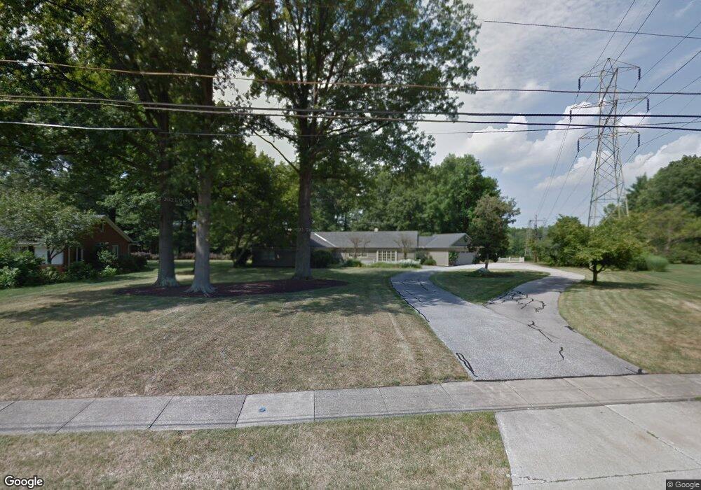
This home is located at 162 Manning Dr, Berea, OH 44017 and is currently estimated at $444,207, approximately $143 per square foot. 162 Manning Dr is a home located in Cuyahoga County with nearby schools including Grindstone Elementary School, Berea-Midpark Middle School, and Berea-Midpark High School.
Ownership History
Date
Name
Owned For
Owner Type
Purchase Details
Closed on
Nov 1, 2021
Sold by
Ryan Mary M
Bought by
Ryan Mary M and Ryan John
Current Estimated Value
Home Financials for this Owner
Home Financials are based on the most recent Mortgage that was taken out on this home.
Original Mortgage
$176,300
Outstanding Balance
$159,497
Interest Rate
2.99%
Mortgage Type
New Conventional
Estimated Equity
$284,710
Purchase Details
Closed on
Mar 15, 2016
Sold by
Estate Of Raymond P Smith
Bought by
Smith David E and Smith Douglas A
Purchase Details
Closed on
Mar 28, 1977
Sold by
Todtman Ella B
Bought by
Ryan Mary M
Purchase Details
Closed on
Jan 1, 1975
Bought by
Todtman Ella B
Create a Home Valuation Report for This Property
The Home Valuation Report is an in-depth analysis detailing your home's value as well as a comparison with similar homes in the area
Home Values in the Area
Average Home Value in this Area
Purchase History
| Date | Buyer | Sale Price | Title Company |
|---|---|---|---|
| Ryan Mary M | -- | Servicelink | |
| Smith David E | -- | None Available | |
| Ryan Mary M | $87,500 | -- | |
| Todtman Ella B | -- | -- |
Source: Public Records
Mortgage History
| Date | Status | Borrower | Loan Amount |
|---|---|---|---|
| Open | Ryan Mary M | $176,300 |
Source: Public Records
Tax History
| Year | Tax Paid | Tax Assessment Tax Assessment Total Assessment is a certain percentage of the fair market value that is determined by local assessors to be the total taxable value of land and additions on the property. | Land | Improvement |
|---|---|---|---|---|
| 2024 | $6,878 | $128,660 | $26,495 | $102,165 |
| 2023 | $5,661 | $90,940 | $21,180 | $69,760 |
| 2022 | $5,654 | $90,930 | $21,180 | $69,760 |
| 2021 | $5,604 | $90,930 | $21,180 | $69,760 |
| 2020 | $5,254 | $77,070 | $17,960 | $59,120 |
| 2019 | $5,115 | $220,200 | $51,300 | $168,900 |
| 2018 | $4,853 | $77,070 | $17,960 | $59,120 |
| 2017 | $4,953 | $70,490 | $23,870 | $46,620 |
| 2016 | $4,916 | $70,490 | $23,870 | $46,620 |
| 2015 | $4,620 | $70,490 | $23,870 | $46,620 |
| 2014 | $5,578 | $74,200 | $25,130 | $49,070 |
Source: Public Records
Map
Nearby Homes
- 53 Greenfield Ct
- 275 Quarrystone Ln
- 49 Monroe St
- 7640 S Eastland Rd
- 8036 Fair Rd
- 516 Fair St
- 9753 Prospect Rd
- 21032 Breckenridge Ln
- 57 Riverside Dr
- 8902 Lincolnshire Blvd
- 211 W Bridge St
- 143 Baker St
- 487 Bridle Ln
- 18433 Whitney Rd
- 0 Sprague Rd Unit 5192975
- 300 West St
- 23004 Chandlers Ln Unit 4-344
- 20456 Scotch Pine Way
- 160 Marian Ln Unit 6A
- 19890 Idlewood Trail
Your Personal Tour Guide
Ask me questions while you tour the home.