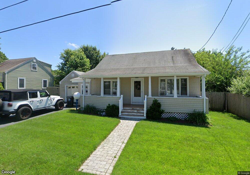
162 Metacomet Ave Swansea, MA 02777
Ocean Grove NeighborhoodEstimated Value: $363,000 - $417,000
3
Beds
1
Bath
1,140
Sq Ft
$342/Sq Ft
Est. Value
About This Home
This home is located at 162 Metacomet Ave, Swansea, MA 02777 and is currently estimated at $389,783, approximately $341 per square foot. 162 Metacomet Ave is a home located in Bristol County with nearby schools including Joseph Case High School, Swansea Wood School, and SCEC Life Academy.
Ownership History
Date
Name
Owned For
Owner Type
Purchase Details
Closed on
Feb 5, 2021
Sold by
Mcconnell Dianne C and Harding Kevin C
Bought by
Harding Kevin C
Current Estimated Value
Home Financials for this Owner
Home Financials are based on the most recent Mortgage that was taken out on this home.
Original Mortgage
$150,000
Outstanding Balance
$133,425
Interest Rate
2.65%
Mortgage Type
New Conventional
Estimated Equity
$256,358
Purchase Details
Closed on
Sep 18, 2020
Sold by
Harding Ft and Harding
Bought by
Harding Kevin C and Mcconnell Dianne C
Purchase Details
Closed on
Mar 30, 2005
Sold by
Harding Rose Anne
Bought by
Rose Anne Harding Irt and Harding
Create a Home Valuation Report for This Property
The Home Valuation Report is an in-depth analysis detailing your home's value as well as a comparison with similar homes in the area
Home Values in the Area
Average Home Value in this Area
Purchase History
| Date | Buyer | Sale Price | Title Company |
|---|---|---|---|
| Harding Kevin C | -- | None Available | |
| Harding Kevin C | -- | None Available | |
| Rose Anne Harding Irt | -- | -- | |
| Rose Anne Harding Irt | -- | -- |
Source: Public Records
Mortgage History
| Date | Status | Borrower | Loan Amount |
|---|---|---|---|
| Open | Harding Kevin C | $150,000 | |
| Previous Owner | Rose Anne Harding Irt | $15,000 |
Source: Public Records
Tax History Compared to Growth
Tax History
| Year | Tax Paid | Tax Assessment Tax Assessment Total Assessment is a certain percentage of the fair market value that is determined by local assessors to be the total taxable value of land and additions on the property. | Land | Improvement |
|---|---|---|---|---|
| 2025 | $4,053 | $340,000 | $143,000 | $197,000 |
| 2024 | $4,029 | $336,000 | $143,000 | $193,000 |
| 2023 | $3,691 | $281,100 | $106,300 | $174,800 |
| 2022 | $3,510 | $243,900 | $92,400 | $151,500 |
| 2021 | $3,329 | $213,000 | $93,000 | $120,000 |
| 2020 | $3,437 | $220,600 | $97,100 | $123,500 |
| 2019 | $3,169 | $204,300 | $83,600 | $120,700 |
| 2018 | $3,055 | $198,600 | $77,900 | $120,700 |
| 2017 | $2,667 | $200,800 | $74,500 | $126,300 |
| 2016 | $2,705 | $200,100 | $72,000 | $128,100 |
| 2015 | $2,512 | $191,300 | $72,000 | $119,300 |
| 2014 | $2,416 | $188,200 | $72,000 | $116,200 |
Source: Public Records
Map
Nearby Homes
- 156 Metacomet Ave
- 68 Anthony Ave
- 157 Cliff Ave
- 167 Cliff Ave
- 155 Metacomet Ave
- 153 Cliff Ave
- 146 Metacomet Ave
- 63 Anthony Ave
- 171 Cliff Ave
- 67 Anthony Ave
- 0 Park St Unit 70919108
- 0 Park St
- 51 Anthony Ave
- 160 Cliff Ave
- 147 Metacomet Ave
- 145 Cliff Ave
- 73 Anthony Ave
- 45 Anthony Ave
- 42 Anthony Ave
- 140 Metacomet Ave