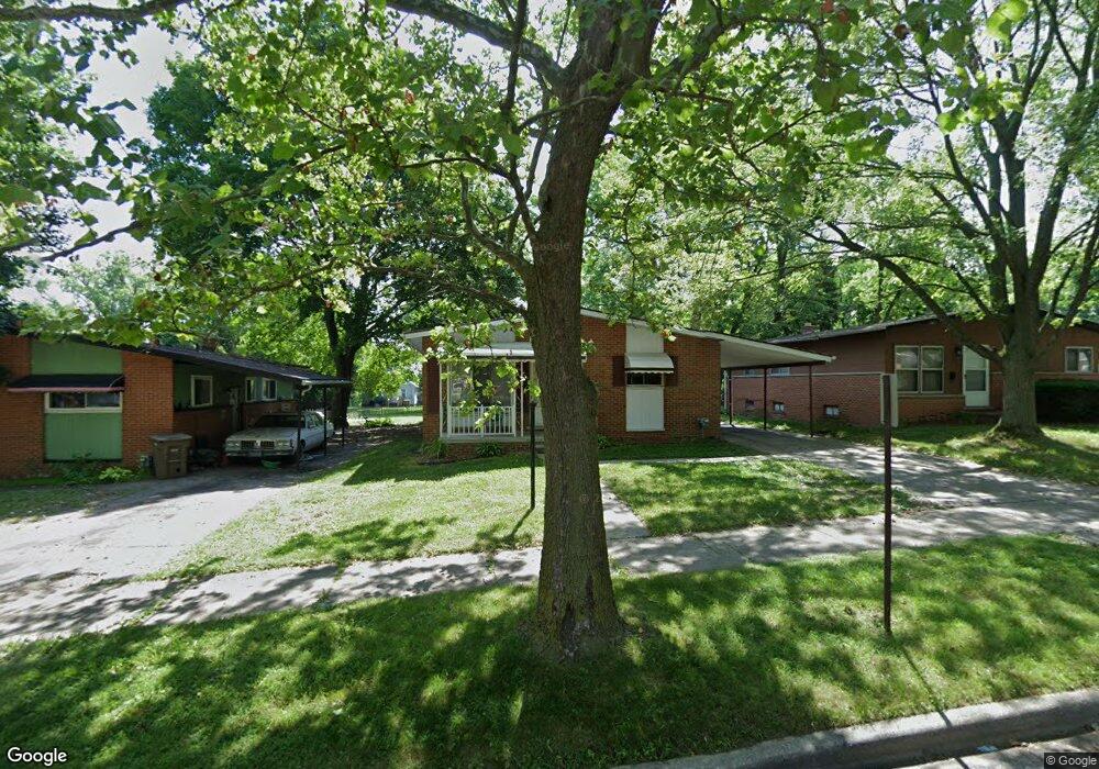
162 N Astor St Pontiac, MI 48342
Estimated Value: $126,000 - $202,000
3
Beds
3
Baths
1,065
Sq Ft
$150/Sq Ft
Est. Value
About This Home
This home is located at 162 N Astor St, Pontiac, MI 48342 and is currently estimated at $160,042, approximately $150 per square foot. 162 N Astor St is a home located in Oakland County with nearby schools including Herrington Elementary School, Pontiac Middle School, and Pontiac High School.
Ownership History
Date
Name
Owned For
Owner Type
Purchase Details
Closed on
Feb 22, 2021
Sold by
Rouser Kendrick
Bought by
Ek Real Estate Fund I Llc
Current Estimated Value
Purchase Details
Closed on
Sep 14, 2018
Sold by
Semrau Funding Llc
Bought by
Rouser Kendrick
Purchase Details
Closed on
Nov 27, 2012
Sold by
Alexander Pauline
Bought by
Semrau Llc
Create a Home Valuation Report for This Property
The Home Valuation Report is an in-depth analysis detailing your home's value as well as a comparison with similar homes in the area
Home Values in the Area
Average Home Value in this Area
Purchase History
| Date | Buyer | Sale Price | Title Company |
|---|---|---|---|
| Ek Real Estate Fund I Llc | $89,000 | Accommodation | |
| Ek Real Estate Fund I Llc | $89,000 | None Listed On Document | |
| Rouser Kendrick | -- | None Available | |
| Semrau Llc | $6,500 | None Available |
Source: Public Records
Tax History Compared to Growth
Tax History
| Year | Tax Paid | Tax Assessment Tax Assessment Total Assessment is a certain percentage of the fair market value that is determined by local assessors to be the total taxable value of land and additions on the property. | Land | Improvement |
|---|---|---|---|---|
| 2024 | $2,071 | $44,210 | $0 | $0 |
| 2023 | $1,974 | $39,040 | $0 | $0 |
| 2022 | $2,972 | $34,200 | $0 | $0 |
| 2021 | $1,886 | $31,250 | $0 | $0 |
| 2020 | $753 | $27,960 | $0 | $0 |
| 2019 | $816 | $24,650 | $0 | $0 |
| 2018 | $782 | $22,180 | $0 | $0 |
| 2017 | $743 | $21,390 | $0 | $0 |
| 2016 | $769 | $20,720 | $0 | $0 |
| 2015 | -- | $19,030 | $0 | $0 |
| 2014 | -- | $16,430 | $0 | $0 |
| 2011 | -- | $22,480 | $0 | $0 |
Source: Public Records
Map
Nearby Homes
- 88 N Astor St
- 53 N Midland Dr
- 717 E Pike St
- 291 Michigan Ave
- 46 N Anderson Ave
- 28 S Marshall St
- 511 E Pike St
- 428 Jordon Rd
- 472 University Dr
- 0 Cesar Chavez Rd Unit 50166552
- 442 Kenilworth Ave
- 413 Thors St
- 472 Kenilworth Ave
- 505 Auburn Ave
- 33 S Tasmania St
- 70 N Roselawn St
- 97 N Roselawn St
- 57 N Roselawn St
- 514 Linda Vista Dr
- 55 N Roselawn St