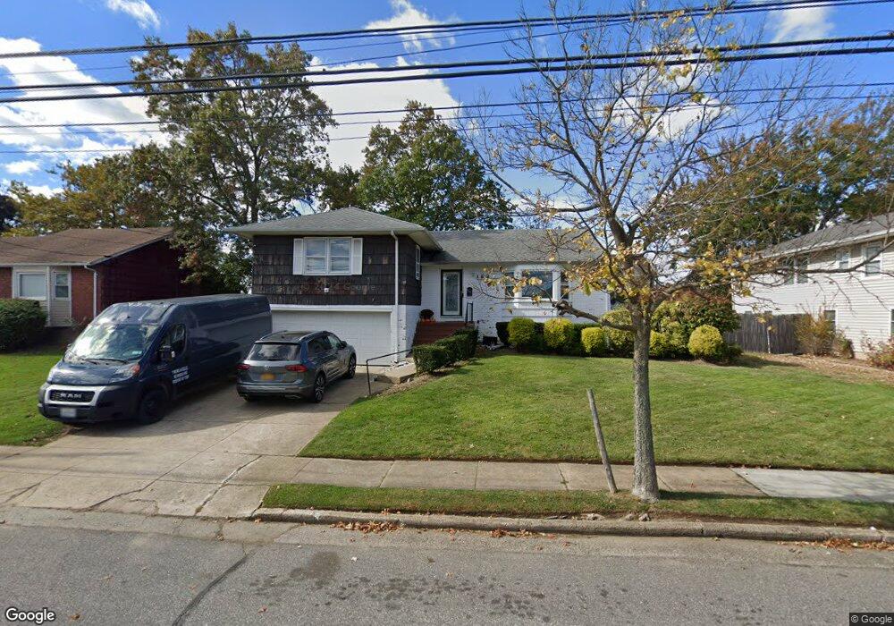
162 Nassau Ave Freeport, NY 11520
Estimated Value: $664,000 - $716,528
3
Beds
3
Baths
1,982
Sq Ft
$348/Sq Ft
Est. Value
About This Home
This home is located at 162 Nassau Ave, Freeport, NY 11520 and is currently estimated at $690,264, approximately $348 per square foot. 162 Nassau Ave is a home located in Nassau County with nearby schools including Columbus Avenue School, Caroline G. Atkinson Intermediate School, and John W Dodd Middle School.
Ownership History
Date
Name
Owned For
Owner Type
Purchase Details
Closed on
Aug 29, 2014
Sold by
Commerce Bank & Trust Na and Wallerstein
Bought by
Goring Rakiya N and Goring Trevor M
Current Estimated Value
Home Financials for this Owner
Home Financials are based on the most recent Mortgage that was taken out on this home.
Original Mortgage
$301,832
Outstanding Balance
$230,679
Interest Rate
4.25%
Mortgage Type
FHA
Estimated Equity
$459,585
Create a Home Valuation Report for This Property
The Home Valuation Report is an in-depth analysis detailing your home's value as well as a comparison with similar homes in the area
Home Values in the Area
Average Home Value in this Area
Purchase History
| Date | Buyer | Sale Price | Title Company |
|---|---|---|---|
| Goring Rakiya N | $307,400 | -- | |
| Goring Rakiya N | $307,400 | -- | |
| Goring Rakiya N | $307,400 | -- | |
| Goring Rakiya N | $307,400 | -- | |
| Goring Rakiya N | $307,400 | -- |
Source: Public Records
Mortgage History
| Date | Status | Borrower | Loan Amount |
|---|---|---|---|
| Open | Goring Rakiya N | $301,832 | |
| Closed | Goring Rakiya N | $301,832 |
Source: Public Records
Tax History Compared to Growth
Tax History
| Year | Tax Paid | Tax Assessment Tax Assessment Total Assessment is a certain percentage of the fair market value that is determined by local assessors to be the total taxable value of land and additions on the property. | Land | Improvement |
|---|---|---|---|---|
| 2025 | $10,156 | $471 | $185 | $286 |
| 2024 | $1,024 | $471 | $185 | $286 |
| 2023 | $8,366 | $471 | $185 | $286 |
| 2022 | $8,366 | $471 | $185 | $286 |
| 2021 | $11,966 | $451 | $177 | $274 |
| 2020 | $7,853 | $554 | $297 | $257 |
| 2019 | $6,814 | $554 | $279 | $275 |
| 2018 | $6,585 | $589 | $0 | $0 |
| 2017 | $5,688 | $589 | $297 | $292 |
| 2016 | $6,572 | $589 | $282 | $307 |
| 2015 | -- | $589 | $282 | $307 |
| 2014 | -- | $589 | $282 | $307 |
| 2013 | $846 | $620 | $297 | $323 |
Source: Public Records
Map
Nearby Homes
- 310 Miller Ave
- 322 Miller Ave
- 494 S Ocean Ave Unit 1H
- 494 S Ocean Ave Unit 3A
- 374 Miller Ave
- 209 Nassau Ave
- 31 Casino St Unit PH
- 570 S Ocean Ave
- 232 Nassau Ave
- 65 Adams St
- 171 Westside Ave
- 119 S Bay Ave
- 208 Sportsmans Ave
- 173 Cedar St
- 243 Sportsmans Ave
- 193 Sportsmans Ave
- 177 Sportsmans Ave
- 356 Arthur St
- 470 Miller Ave
- 335 Arthur St
- 156 Nassau Ave
- 168 Nassau Ave
- 507 S Long Beach Ave
- 501 S Long Beach Ave
- 511 S Long Beach Ave
- 159 Nassau Ave
- 165 Nassau Ave
- 174 Nassau Ave
- 150 Nassau Ave
- 499 S Long Beach Ave
- 155 Nassau Ave
- 112 Front St
- 86 Front St
- 137 Nassau Ave
- 137 Nassau Ave
- 136 Nassau Ave
- 493 S Long Beach Ave
- 316 Miller Ave
- 314 Miller Ave
- 320 Miller Ave