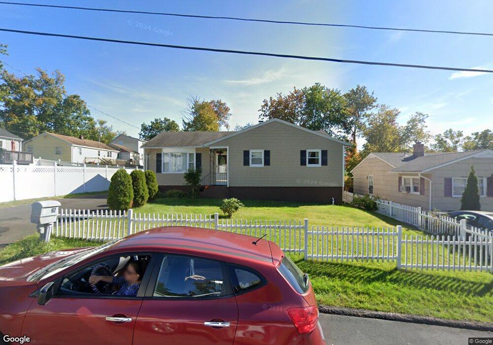
162 Rangely St West Haven, CT 06516
Allingtown NeighborhoodEstimated Value: $321,239 - $387,000
3
Beds
2
Baths
1,100
Sq Ft
$316/Sq Ft
Est. Value
About This Home
This home is located at 162 Rangely St, West Haven, CT 06516 and is currently estimated at $347,810, approximately $316 per square foot. 162 Rangely St is a home located in New Haven County with nearby schools including Carrigan 5/6 Intermediate School, Harry M. Bailey Middle School, and West Haven High School.
Ownership History
Date
Name
Owned For
Owner Type
Purchase Details
Closed on
Jan 6, 2010
Sold by
G H Home Acquisitions
Bought by
Stewart Ronald M and Stewart Sembile
Current Estimated Value
Home Financials for this Owner
Home Financials are based on the most recent Mortgage that was taken out on this home.
Original Mortgage
$166,920
Interest Rate
4.78%
Mortgage Type
Purchase Money Mortgage
Purchase Details
Closed on
Jul 1, 2009
Sold by
Us Bank Na Tr
Bought by
G & H Home Acquisitions
Purchase Details
Closed on
Mar 28, 2006
Sold by
Rangeley Llc
Bought by
Mollison Tania
Create a Home Valuation Report for This Property
The Home Valuation Report is an in-depth analysis detailing your home's value as well as a comparison with similar homes in the area
Home Values in the Area
Average Home Value in this Area
Purchase History
| Date | Buyer | Sale Price | Title Company |
|---|---|---|---|
| Stewart Ronald M | $170,000 | -- | |
| G & H Home Acquisitions | $73,000 | -- | |
| Mollison Tania | $233,000 | -- | |
| Stewart Ronald M | $170,000 | -- | |
| G & H Home Acquisitions | $73,000 | -- | |
| Mollison Tania | $233,000 | -- |
Source: Public Records
Mortgage History
| Date | Status | Borrower | Loan Amount |
|---|---|---|---|
| Open | Mollison Tania | $191,020 | |
| Closed | Mollison Tania | $166,920 |
Source: Public Records
Tax History
| Year | Tax Paid | Tax Assessment Tax Assessment Total Assessment is a certain percentage of the fair market value that is determined by local assessors to be the total taxable value of land and additions on the property. | Land | Improvement |
|---|---|---|---|---|
| 2025 | $7,211 | $212,030 | $63,770 | $148,260 |
| 2024 | $6,302 | $131,600 | $44,170 | $87,430 |
| 2023 | $6,109 | $131,600 | $44,170 | $87,430 |
| 2022 | $6,002 | $131,600 | $44,170 | $87,430 |
| 2021 | $6,004 | $131,600 | $44,170 | $87,430 |
| 2020 | $5,916 | $114,870 | $35,840 | $79,030 |
| 2019 | $5,824 | $114,870 | $35,840 | $79,030 |
| 2018 | $5,665 | $114,870 | $35,840 | $79,030 |
| 2017 | $5,488 | $114,870 | $35,840 | $79,030 |
| 2016 | $5,322 | $114,870 | $35,840 | $79,030 |
| 2015 | $5,061 | $124,390 | $38,500 | $85,890 |
| 2014 | $4,961 | $124,390 | $38,500 | $85,890 |
Source: Public Records
Map
Nearby Homes
- 34 Maltby Ave
- 23 Yates St
- 110 Fenwick St
- 0 Burwell & Woodfield Rd Unit 24051262
- 0 Burwell Rd
- 148 Burwell Rd
- 47 Dix St
- 45 Swampscott St
- 50 Morris Ave
- 38 Chauncey St
- 1 Rodney St
- 82 Hemlock St
- 7 Ipswich St
- 57 Dalton St
- 846 Beechwood Rd
- 588 Summit Dr
- 149 Canton St Unit 30
- 149 Canton St Unit 18
- 194 Homeside Ave
- 690 Forest Rd Unit 702