Estimated Value: $195,000 - $266,000
1
Bed
1
Bath
936
Sq Ft
$246/Sq Ft
Est. Value
About This Home
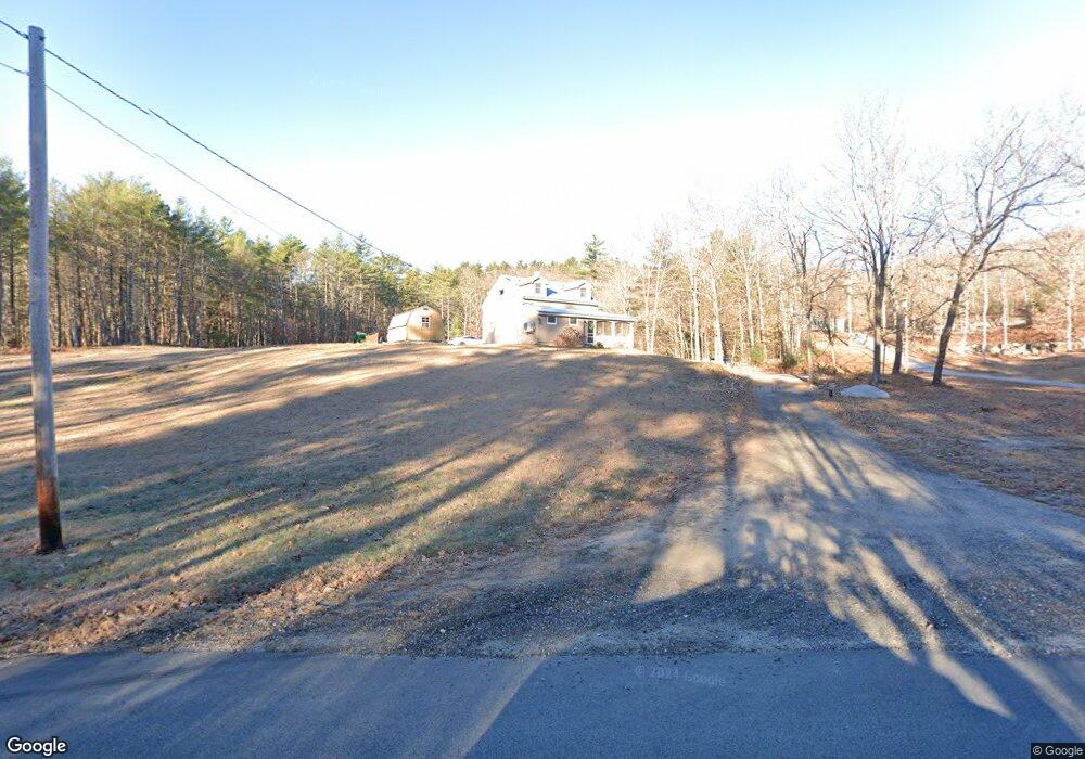
This home is located at 162 River Rd, Hiram, ME 04041 and is currently estimated at $230,330, approximately $246 per square foot. 162 River Rd is a home located in Oxford County.
Ownership History
Date
Name
Owned For
Owner Type
Purchase Details
Closed on
Nov 3, 2005
Sold by
Redmond Charles G
Bought by
Bell Jonathan
Current Estimated Value
Home Financials for this Owner
Home Financials are based on the most recent Mortgage that was taken out on this home.
Original Mortgage
$134,700
Interest Rate
5.85%
Mortgage Type
Commercial
Purchase Details
Closed on
Feb 8, 2005
Sold by
Redmond Charles G
Bought by
Redmond Charles G
Create a Home Valuation Report for This Property
The Home Valuation Report is an in-depth analysis detailing your home's value as well as a comparison with similar homes in the area
Home Values in the Area
Average Home Value in this Area
Purchase History
| Date | Buyer | Sale Price | Title Company |
|---|---|---|---|
| Bell Jonathan | -- | -- | |
| Redmond Charles G | -- | -- |
Source: Public Records
Mortgage History
| Date | Status | Borrower | Loan Amount |
|---|---|---|---|
| Closed | Bell Jonathan | $134,700 |
Source: Public Records
Tax History
| Year | Tax Paid | Tax Assessment Tax Assessment Total Assessment is a certain percentage of the fair market value that is determined by local assessors to be the total taxable value of land and additions on the property. | Land | Improvement |
|---|---|---|---|---|
| 2025 | $1,936 | $169,080 | $43,280 | $125,800 |
| 2024 | $1,840 | $169,080 | $43,280 | $125,800 |
| 2023 | $1,802 | $145,790 | $34,620 | $111,170 |
| 2022 | $1,637 | $111,240 | $28,850 | $82,390 |
| 2021 | $1,625 | $111,240 | $28,850 | $82,390 |
| 2020 | $1,617 | $111,240 | $28,850 | $82,390 |
| 2019 | $1,617 | $111,240 | $28,850 | $82,390 |
| 2018 | $1,621 | $111,240 | $28,850 | $82,390 |
| 2017 | $1,590 | $111,240 | $28,850 | $82,390 |
| 2016 | $1,661 | $113,070 | $28,850 | $84,220 |
Source: Public Records
Map
Nearby Homes
- 4 Bridge St
- 20 Main St
- 96 Maple St
- 6-13 Main St
- 992 Pequawket Trail
- 198 Senator Black Rd
- Lot #3 Jordan Heights Rd
- Lot #2 Jordan Heights Rd
- Lot #8 Jordan Heights Rd
- Lot #4 Jordan Heights Rd
- 490 S Hiram Rd
- 0 Durgintown Rd
- 174 Marston Rd
- 593 Pequawket Trail
- 1384 Cape Rd
- 8 Graffam Rd
- 8 - A Graffam Rd
- 30 Graffam Rd
- TBD Sokokis Trail N
- 25 Hancock Ave
Your Personal Tour Guide
Ask me questions while you tour the home.