162 Rolling Meadow Dr Holliston, MA 01746
Estimated Value: $985,530 - $1,129,000
4
Beds
3
Baths
3,143
Sq Ft
$332/Sq Ft
Est. Value
About This Home
This home is located at 162 Rolling Meadow Dr, Holliston, MA 01746 and is currently estimated at $1,042,133, approximately $331 per square foot. 162 Rolling Meadow Dr is a home located in Middlesex County with nearby schools including Miller Elementary School, Robert H. Adams Middle School, and Holliston High School.
Ownership History
Date
Name
Owned For
Owner Type
Purchase Details
Closed on
May 28, 1986
Bought by
Ward Anthony W and Ward Janet E
Current Estimated Value
Create a Home Valuation Report for This Property
The Home Valuation Report is an in-depth analysis detailing your home's value as well as a comparison with similar homes in the area
Home Values in the Area
Average Home Value in this Area
Purchase History
| Date | Buyer | Sale Price | Title Company |
|---|---|---|---|
| Ward Anthony W | $350,000 | -- |
Source: Public Records
Mortgage History
| Date | Status | Borrower | Loan Amount |
|---|---|---|---|
| Open | Ward Anthony W | $417,000 | |
| Open | Ward Anthony W | $1,065,500 | |
| Closed | Ward Anthony W | $100,000 | |
| Closed | Ward Anthony W | $194,000 |
Source: Public Records
Tax History Compared to Growth
Tax History
| Year | Tax Paid | Tax Assessment Tax Assessment Total Assessment is a certain percentage of the fair market value that is determined by local assessors to be the total taxable value of land and additions on the property. | Land | Improvement |
|---|---|---|---|---|
| 2025 | $14,046 | $958,800 | $276,200 | $682,600 |
| 2024 | $13,983 | $928,500 | $276,200 | $652,300 |
| 2023 | $13,412 | $870,900 | $276,200 | $594,700 |
| 2022 | $11,599 | $667,400 | $276,200 | $391,200 |
| 2021 | $10,399 | $582,600 | $261,000 | $321,600 |
| 2020 | $12,181 | $646,200 | $253,400 | $392,800 |
| 2019 | $11,946 | $634,400 | $245,800 | $388,600 |
| 2018 | $11,844 | $634,400 | $245,800 | $388,600 |
| 2017 | $11,503 | $621,100 | $258,600 | $362,500 |
| 2016 | $11,736 | $624,600 | $241,500 | $383,100 |
| 2015 | $11,954 | $616,800 | $198,600 | $418,200 |
Source: Public Records
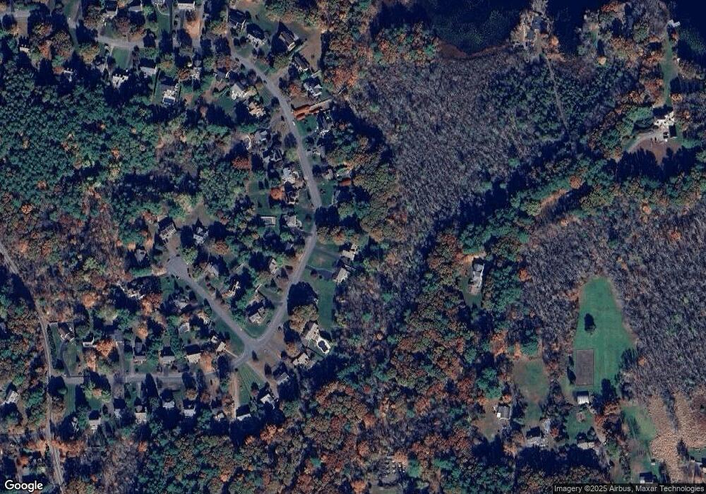
Map
Nearby Homes
- 7 Hill St
- 0 Hill St
- 625 Norfolk St
- 116 Winthrop St
- 154 Union St
- 1037 Washington St
- 19 Sycamore Way Unit L40
- 140 Goulding St
- 156 Mitchell Rd
- 266 Willowgate Rise
- 1366 Washington St
- 30 Broken Tree Rd
- 1 Jameson Dr Unit 1
- 3 Jameson Dr Unit 3
- 27 Richardson Dr Unit 27
- 12 Longmeadow Ln
- 1 Walnut Ln
- 1014 Highland St
- 73 Orchard St
- 18 Lansing Way Unit 18
- 172 Rolling Meadow Dr
- 156 Rolling Meadow Dr
- 182 Rolling Meadow Dr
- 167 Rolling Meadow Dr
- 157 Rolling Meadow Dr
- 142 Rolling Meadow Dr
- 179 Rolling Meadow Dr
- 190 Rolling Meadow Dr
- 149 Rolling Meadow Dr
- 136 Rolling Meadow Dr
- 139 Rolling Meadow Dr
- 195 Rolling Meadow Dr
- 200 Rolling Meadow Dr
- 17 Morse Farm Ln
- 20 Norfolk Ln
- 128 Rolling Meadow Dr
- 131 Rolling Meadow Dr
- 29 Morse Farm Ln
- 204 Rolling Meadow Dr
- 121 Rolling Meadow Dr