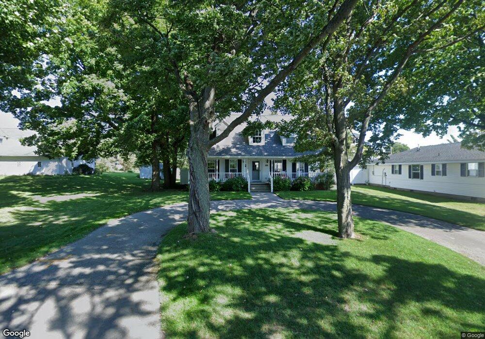
162 S Dover St Pentwater, MI 49449
Estimated Value: $491,201 - $623,000
--
Bed
--
Bath
--
Sq Ft
7,928
Sq Ft Lot
About This Home
This home is located at 162 S Dover St, Pentwater, MI 49449 and is currently estimated at $552,800. 162 S Dover St is a home with nearby schools including Pentwater Public School.
Ownership History
Date
Name
Owned For
Owner Type
Purchase Details
Closed on
May 18, 2016
Sold by
Vanderlaan Robert J and Slotsema Linda
Bought by
Slotsema Linda B
Current Estimated Value
Purchase Details
Closed on
May 11, 2016
Sold by
Slotsema Linda B
Bought by
Slotsema Linda B and Slotsema Daniel J
Purchase Details
Closed on
Apr 17, 2015
Sold by
Vanderlaan Robert and Vanderlaan Mildred
Bought by
Vanderlaan Robert and The Robert Vanderlaan Revocable Living T
Purchase Details
Closed on
Sep 7, 2006
Sold by
Vander Laan Robert and Vander Laan Mildred
Bought by
Vander Laan Mildred and Mildred Vander Laan Revocable Living Tr
Purchase Details
Closed on
Apr 16, 1998
Sold by
Stanchfield and Vanderlaan
Bought by
Stanchfield and Vanderlaan
Create a Home Valuation Report for This Property
The Home Valuation Report is an in-depth analysis detailing your home's value as well as a comparison with similar homes in the area
Home Values in the Area
Average Home Value in this Area
Purchase History
| Date | Buyer | Sale Price | Title Company |
|---|---|---|---|
| Slotsema Linda B | -- | Attorney | |
| Slotsema Linda B | -- | Attorney | |
| Vanderlaan Robert | -- | None Available | |
| Vander Laan Mildred | -- | None Available | |
| Stanchfield | $65,000 | -- |
Source: Public Records
Tax History Compared to Growth
Tax History
| Year | Tax Paid | Tax Assessment Tax Assessment Total Assessment is a certain percentage of the fair market value that is determined by local assessors to be the total taxable value of land and additions on the property. | Land | Improvement |
|---|---|---|---|---|
| 2025 | $5,638 | $271,200 | $271,200 | $0 |
| 2024 | $3,318 | $214,800 | $214,800 | $0 |
| 2023 | $5,114 | $159,700 | $159,700 | $0 |
| 2022 | $6,716 | $149,800 | $0 | $0 |
| 2021 | $6,536 | $155,800 | $155,800 | $0 |
| 2020 | $6,495 | $142,100 | $142,100 | $0 |
| 2019 | $6,358 | $126,600 | $0 | $0 |
| 2018 | $5,798 | $118,900 | $0 | $0 |
| 2017 | $5,798 | $124,700 | $0 | $0 |
| 2016 | -- | $107,900 | $0 | $0 |
| 2013 | -- | $100,600 | $0 | $0 |
Source: Public Records
Map
Nearby Homes
- 41 N Dover St
- 517 S Wythe St
- 0000 Park St
- 340 E Hanover St
- 1112 2nd St
- 90 S Clymer St
- 559 Sands St
- vl 3rd Ave
- 0 Sands St - Lot A
- 0 Sands Street - Vacant
- 0 Morris St - Lot B Unit 25010940
- 935 6th St
- 921 N Hancock St
- 1209 6th St
- 5921 W Longbridge Rd
- 0 N 56th Ave Unit Parcel A 25010626
- LOT 38 Longbridge Rd
- 0 Longbridge Rd
- 5293 W Monroe Rd
- 8641 N Perry Ave