162 School House Rd Littlestown, PA 17340
Estimated Value: $736,000 - $1,283,806
6
Beds
5
Baths
3,276
Sq Ft
$308/Sq Ft
Est. Value
About This Home
This home is located at 162 School House Rd, Littlestown, PA 17340 and is currently estimated at $1,009,903, approximately $308 per square foot. 162 School House Rd is a home located in Adams County with nearby schools including Rolling Acres El School, Maple Avenue Middle School, and Littlestown Senior High School.
Ownership History
Date
Name
Owned For
Owner Type
Purchase Details
Closed on
Jan 28, 2016
Sold by
Bast William R and Bast Joanne S
Bought by
Bast William R and Bast Joanne S
Current Estimated Value
Purchase Details
Closed on
Jun 17, 1977
Bought by
Bast William R and Bast Joanne
Create a Home Valuation Report for This Property
The Home Valuation Report is an in-depth analysis detailing your home's value as well as a comparison with similar homes in the area
Home Values in the Area
Average Home Value in this Area
Purchase History
| Date | Buyer | Sale Price | Title Company |
|---|---|---|---|
| Bast William R | -- | None Available | |
| Bast William R | $225,000 | -- |
Source: Public Records
Tax History Compared to Growth
Tax History
| Year | Tax Paid | Tax Assessment Tax Assessment Total Assessment is a certain percentage of the fair market value that is determined by local assessors to be the total taxable value of land and additions on the property. | Land | Improvement |
|---|---|---|---|---|
| 2025 | $15,134 | $780,800 | $76,600 | $704,200 |
| 2024 | $14,483 | $780,800 | $76,600 | $704,200 |
| 2023 | $24,313 | $780,800 | $76,600 | $704,200 |
| 2022 | $24,888 | $791,300 | $87,100 | $704,200 |
| 2021 | $24,025 | $791,300 | $87,100 | $704,200 |
| 2020 | $23,686 | $791,300 | $87,100 | $704,200 |
| 2019 | $23,193 | $791,300 | $87,100 | $704,200 |
| 2018 | $22,698 | $791,300 | $87,100 | $704,200 |
| 2017 | $12,641 | $791,300 | $87,100 | $704,200 |
| 2016 | -- | $305,600 | $12,600 | $293,000 |
| 2015 | -- | $304,500 | $11,500 | $293,000 |
| 2014 | -- | $365,700 | $72,700 | $293,000 |
Source: Public Records
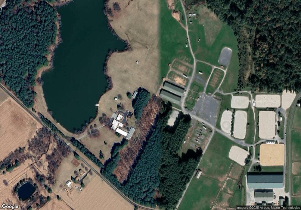
Map
Nearby Homes
- 780 White Hall Rd
- 0 Littlestown Rd
- 464 Locust Ln
- 70 Sells Station Rd
- 80 Sells Station Rd
- 4900 Hanover Rd
- 0 Locust Dr Unit PAAD2015910
- 20c Locust Dr
- 58 Windsor Ct
- 48 Windsor Ct
- 67 Cedarfield Dr
- 138 Cedarfield Dr Unit 71
- 162 Newark St
- 28 Bonniefield Cir Unit 25
- 440 N Queen St
- 1 Hickory Ave
- 41 Smith Cir
- 140 Apple Grove Ln Unit 425
- 161 Stoners Cir
- 43 Ashfield Dr Unit 14
- 173 School House Rd
- 1158 White Hall Rd
- 5 Honda Rd
- 1099 White Hall Rd
- 381 Flatbush Rd
- L-2 White Hall Rd
- 40 Honda Rd
- 1021 White Hall Rd
- 980 White Hall Rd Unit A
- 1224 White Hall Rd
- 991 White Hall Rd
- 272 Flatbush Rd
- 1370 White Hall Rd
- 170 Honda Rd
- 250 Flatbush Rd
- 1261 White Hall Rd Unit 2
- 207 Flatbush Rd
- 181 Flatbush Rd
- 1270 White Hall Rd
- 950 Bulk Plant Rd Unit 2