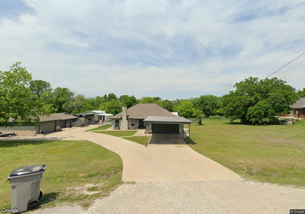
162 Scott Ln Weatherford, TX 76085
Estimated Value: $374,288 - $424,000
--
Bed
--
Bath
1,473
Sq Ft
$272/Sq Ft
Est. Value
About This Home
This home is located at 162 Scott Ln, Weatherford, TX 76085 and is currently estimated at $401,322, approximately $272 per square foot. 162 Scott Ln is a home located in Parker County with nearby schools including Cross Timbers Elementary School, W E Hoover Elementary School, and Santo Forte Junior High School.
Ownership History
Date
Name
Owned For
Owner Type
Purchase Details
Closed on
Jul 2, 2013
Sold by
Lambkin Leslieanita
Bought by
Whitworth Wallace W and Whitworth Heather
Current Estimated Value
Home Financials for this Owner
Home Financials are based on the most recent Mortgage that was taken out on this home.
Original Mortgage
$99,500
Outstanding Balance
$23,532
Interest Rate
3.93%
Mortgage Type
Credit Line Revolving
Estimated Equity
$377,790
Purchase Details
Closed on
Apr 9, 1996
Sold by
Whitworth Wallace W and Lambkin Leslie A
Bought by
Whitworth Wallace W and Whitworth Heather
Purchase Details
Closed on
Jul 1, 1991
Bought by
Whitworth Wallace W and Whitworth Heather
Create a Home Valuation Report for This Property
The Home Valuation Report is an in-depth analysis detailing your home's value as well as a comparison with similar homes in the area
Home Values in the Area
Average Home Value in this Area
Purchase History
| Date | Buyer | Sale Price | Title Company |
|---|---|---|---|
| Whitworth Wallace W | -- | None Available | |
| Whitworth Wallace W | -- | -- | |
| Whitworth Wallace W | -- | -- |
Source: Public Records
Mortgage History
| Date | Status | Borrower | Loan Amount |
|---|---|---|---|
| Open | Whitworth Wallace W | $99,500 |
Source: Public Records
Tax History Compared to Growth
Tax History
| Year | Tax Paid | Tax Assessment Tax Assessment Total Assessment is a certain percentage of the fair market value that is determined by local assessors to be the total taxable value of land and additions on the property. | Land | Improvement |
|---|---|---|---|---|
| 2025 | $2,043 | $325,000 | $90,000 | $235,000 |
| 2024 | $2,043 | $343,640 | -- | -- |
| 2023 | $2,043 | $312,400 | $0 | $0 |
| 2022 | $5,255 | $284,000 | $40,990 | $243,010 |
| 2021 | $5,034 | $284,000 | $40,990 | $243,010 |
| 2020 | $4,552 | $245,040 | $24,000 | $221,040 |
| 2019 | $4,386 | $245,040 | $24,000 | $221,040 |
| 2018 | $4,000 | $199,800 | $15,000 | $184,800 |
| 2017 | $3,273 | $189,000 | $15,000 | $174,000 |
| 2016 | $2,789 | $142,760 | $15,000 | $127,760 |
| 2015 | $1,027 | $142,760 | $15,000 | $127,760 |
| 2014 | $2,563 | $141,000 | $15,000 | $126,000 |
Source: Public Records
Map
Nearby Homes
- 174 Scott Ln
- 149 Bryon Dr
- 357 Mastadon Way
- 7503 Sabathney Rd
- 1089 Flagstone Dr
- 110 Bolivar Dr
- 133 Miramar Cir
- 308 Spanish Oak Ct
- 687 Bent Tree Ln
- The Wilder Plan at Brooks Meadow
- The Ryder Plan at Brooks Meadow
- The Curran Plan at Brooks Meadow
- The Bennett Plan at Brooks Meadow
- The Jackson Plan at Brooks Meadow
- The Hunter Plan at Brooks Meadow
- The Aylin Plan at Brooks Meadow
- The Wellington II Plan at Brooks Meadow
- 683 Bent Tree Ln
- The Greyson II Plan at Brooks Meadow
- 5017 Freestone Dr