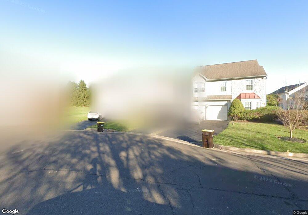
162 Sequoia Dr Newtown, PA 18940
Estimated Value: $560,000 - $607,000
3
Beds
3
Baths
2,304
Sq Ft
$256/Sq Ft
Est. Value
About This Home
This home is located at 162 Sequoia Dr, Newtown, PA 18940 and is currently estimated at $589,537, approximately $255 per square foot. 162 Sequoia Dr is a home located in Bucks County with nearby schools including Newtown Elementary School, Newtown Middle School, and Council Rock High School North.
Ownership History
Date
Name
Owned For
Owner Type
Purchase Details
Closed on
Jul 19, 2013
Sold by
Bachtle Elise
Bought by
Bachtle Mark
Current Estimated Value
Purchase Details
Closed on
Oct 28, 2005
Sold by
Bachtle Mark E
Bought by
Bachtle Mark E and Bachtle Elise
Purchase Details
Closed on
Jul 17, 2000
Sold by
Baima John Augustus and Baima Kathleen Richards
Bought by
Lehner Daniel F and Lehner Sandra A
Home Financials for this Owner
Home Financials are based on the most recent Mortgage that was taken out on this home.
Original Mortgage
$170,900
Interest Rate
8.13%
Create a Home Valuation Report for This Property
The Home Valuation Report is an in-depth analysis detailing your home's value as well as a comparison with similar homes in the area
Home Values in the Area
Average Home Value in this Area
Purchase History
| Date | Buyer | Sale Price | Title Company |
|---|---|---|---|
| Bachtle Mark | -- | None Available | |
| Bachtle Mark E | -- | None Available | |
| Lehner Daniel F | $189,900 | -- |
Source: Public Records
Mortgage History
| Date | Status | Borrower | Loan Amount |
|---|---|---|---|
| Previous Owner | Lehner Daniel F | $170,900 |
Source: Public Records
Tax History Compared to Growth
Tax History
| Year | Tax Paid | Tax Assessment Tax Assessment Total Assessment is a certain percentage of the fair market value that is determined by local assessors to be the total taxable value of land and additions on the property. | Land | Improvement |
|---|---|---|---|---|
| 2025 | $4,948 | $27,840 | $3,560 | $24,280 |
| 2024 | $4,948 | $27,840 | $3,560 | $24,280 |
| 2023 | $4,734 | $27,840 | $3,560 | $24,280 |
| 2022 | $4,642 | $27,840 | $3,560 | $24,280 |
| 2021 | $4,570 | $27,840 | $3,560 | $24,280 |
| 2020 | $4,350 | $27,840 | $3,560 | $24,280 |
| 2019 | $4,247 | $27,840 | $3,560 | $24,280 |
| 2018 | $4,167 | $27,840 | $3,560 | $24,280 |
| 2017 | $4,022 | $27,840 | $3,560 | $24,280 |
| 2016 | $3,994 | $27,840 | $3,560 | $24,280 |
| 2015 | -- | $27,840 | $3,560 | $24,280 |
| 2014 | -- | $27,840 | $3,560 | $24,280 |
Source: Public Records
Map
Nearby Homes
- 101 Laurel Cir
- 401 Society Place Unit A1
- 2204 Society Place Unit B2
- 291 Sequoia Dr
- 316 Monterey Place
- 95 Rittenhouse Cir Unit 92
- 288 Jane Chapman Dr E Unit E
- 35 Elfreths Ct
- 152 Twining Bridge Rd
- 4 Gladiola Cir
- Lot 4 Ava Ct
- 220 Stoopville Rd
- 7 Grace Cir
- 10 Providence Ct
- 97 Quaker Dr
- 19 Goldney Dr
- 5 Pansy Ct
- 313 Matthews Ln
- 309 Matthews Ln
- 2034 Woodland Rd