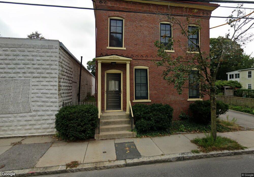
162 Sherman St Unit 164 Cambridge, MA 02140
North Cambridge NeighborhoodEstimated Value: $1,836,000 - $2,008,000
5
Beds
3
Baths
3,136
Sq Ft
$625/Sq Ft
Est. Value
About This Home
This home is located at 162 Sherman St Unit 164, Cambridge, MA 02140 and is currently estimated at $1,960,559, approximately $625 per square foot. 162 Sherman St Unit 164 is a home located in Middlesex County with nearby schools including Benjamin Banneker Charter Public School, Cambridge Friends School, and Cambridge Montessori School.
Ownership History
Date
Name
Owned For
Owner Type
Purchase Details
Closed on
May 18, 2021
Sold by
Anderson Gayle and Anderson Douglas O
Bought by
162-164 Sherman St Rt
Current Estimated Value
Purchase Details
Closed on
Jun 30, 1993
Sold by
Dudley Mary E and Dudley Edward L
Bought by
Anderson Gayle and Anderson Douglas O
Home Financials for this Owner
Home Financials are based on the most recent Mortgage that was taken out on this home.
Original Mortgage
$187,200
Interest Rate
7.46%
Mortgage Type
Purchase Money Mortgage
Create a Home Valuation Report for This Property
The Home Valuation Report is an in-depth analysis detailing your home's value as well as a comparison with similar homes in the area
Home Values in the Area
Average Home Value in this Area
Purchase History
| Date | Buyer | Sale Price | Title Company |
|---|---|---|---|
| 162-164 Sherman St Rt | -- | None Available | |
| Anderson Gayle | $234,000 | -- |
Source: Public Records
Mortgage History
| Date | Status | Borrower | Loan Amount |
|---|---|---|---|
| Previous Owner | Anderson Gayle | $174,000 | |
| Previous Owner | Anderson Gayle | $180,000 | |
| Previous Owner | Anderson Gayle | $10,000 | |
| Previous Owner | Anderson Gayle | $187,200 |
Source: Public Records
Tax History Compared to Growth
Tax History
| Year | Tax Paid | Tax Assessment Tax Assessment Total Assessment is a certain percentage of the fair market value that is determined by local assessors to be the total taxable value of land and additions on the property. | Land | Improvement |
|---|---|---|---|---|
| 2025 | $10,782 | $1,697,900 | $619,200 | $1,078,700 |
| 2024 | $9,965 | $1,683,200 | $645,100 | $1,038,100 |
| 2023 | $9,187 | $1,567,700 | $658,000 | $909,700 |
| 2022 | $8,431 | $1,424,200 | $603,300 | $820,900 |
| 2021 | $8,161 | $1,395,000 | $605,300 | $789,700 |
| 2020 | $7,831 | $1,361,900 | $587,500 | $774,400 |
| 2019 | $7,439 | $1,252,300 | $524,400 | $727,900 |
| 2018 | $4,862 | $1,092,400 | $441,700 | $650,700 |
| 2017 | $6,796 | $1,047,200 | $414,000 | $633,200 |
| 2016 | $6,615 | $946,400 | $358,800 | $587,600 |
| 2015 | $6,526 | $834,500 | $315,400 | $519,100 |
| 2014 | $6,189 | $738,500 | $276,100 | $462,400 |
Source: Public Records
Map
Nearby Homes
- 147 Sherman St Unit 201
- 61 Bolton St Unit 304
- 183 Rindge Ave Unit 1
- 179 Rindge Ave Unit 1
- 318 Rindge Ave Unit 103
- 49 Clifton St
- 124 Jackson St
- 22 Harrington Rd
- 30 Dudley St
- 110 Reed St
- 112 Jackson St
- 12 Rindge Ave Unit 1
- 273 Walden St Unit 2
- 127 Harvey St
- 127 Harvey St Unit 127
- 69 Harvey St Unit 1
- 17 Shea Rd
- 5 Field St
- 14-16 Field St
- 2456 Massachusetts Ave Unit 402
- 162 Sherman St Unit 1
- 163 Sherman St Unit 2
- 163 Sherman St Unit 1
- 170 Sherman St
- 39 Sargent St Unit 2
- 154 Sherman St
- 35 Sargent St
- 169 Sherman St
- 31 Sargent St
- 37 Sargent St Unit 3
- 37 Sargent St Unit 2
- 37 Sargent St Unit 1
- 171 Sherman St
- 176 Sherman St
- 176 Sherman St Unit 1
- 159 Sherman St
- 29 Sargent St
- 214 Pemberton St
- 173 Sherman St
- 175 Sherman St