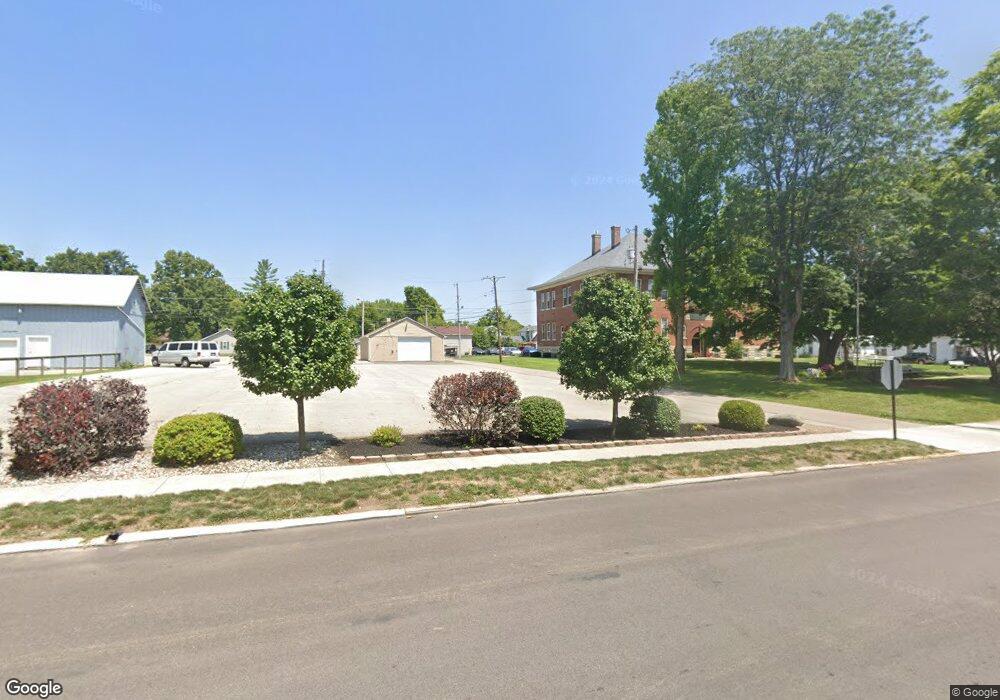
162 W Central Ave Camden, OH 45311
Estimated Value: $137,965
4
Beds
2
Baths
1,145
Sq Ft
$120/Sq Ft
Est. Value
About This Home
This home is located at 162 W Central Ave, Camden, OH 45311 and is currently estimated at $137,965, approximately $120 per square foot. 162 W Central Ave is a home located in Preble County with nearby schools including Preble Shawnee Elementary School, West Elkton Intermediate School, and Preble Shawnee Junior/Senior High School.
Ownership History
Date
Name
Owned For
Owner Type
Purchase Details
Closed on
May 31, 2012
Sold by
Lane Jeffery and Lane Jeffrey
Bought by
First Southern Baptist Church Of Camden
Current Estimated Value
Purchase Details
Closed on
Sep 18, 2007
Sold by
Mccain Mark A
Bought by
Lane Jeffery
Home Financials for this Owner
Home Financials are based on the most recent Mortgage that was taken out on this home.
Original Mortgage
$38,000
Interest Rate
6.17%
Mortgage Type
Commercial
Purchase Details
Closed on
May 26, 1993
Bought by
First Southern Baptist Church Of Camden
Create a Home Valuation Report for This Property
The Home Valuation Report is an in-depth analysis detailing your home's value as well as a comparison with similar homes in the area
Home Values in the Area
Average Home Value in this Area
Purchase History
| Date | Buyer | Sale Price | Title Company |
|---|---|---|---|
| First Southern Baptist Church Of Camden | $57,000 | Performance Title | |
| Lane Jeffery | $40,000 | Preferred Choice Title Svcs | |
| First Southern Baptist Church Of Camden | -- | -- |
Source: Public Records
Mortgage History
| Date | Status | Borrower | Loan Amount |
|---|---|---|---|
| Previous Owner | Lane Jeffery | $38,000 |
Source: Public Records
Tax History Compared to Growth
Tax History
| Year | Tax Paid | Tax Assessment Tax Assessment Total Assessment is a certain percentage of the fair market value that is determined by local assessors to be the total taxable value of land and additions on the property. | Land | Improvement |
|---|---|---|---|---|
| 2024 | $5 | $8,650 | $5,290 | $3,360 |
| 2023 | $5 | $8,650 | $5,290 | $3,360 |
| 2022 | $5 | $3,540 | $3,540 | $0 |
| 2021 | $5 | $3,540 | $3,540 | $0 |
| 2020 | $0 | $3,540 | $3,540 | $0 |
| 2019 | $0 | $3,540 | $3,540 | $0 |
| 2018 | $0 | $3,540 | $3,540 | $0 |
| 2017 | $0 | $3,540 | $3,540 | $0 |
| 2016 | $0 | $4,240 | $4,240 | $0 |
| 2014 | $3 | $4,240 | $4,240 | $0 |
| 2013 | $334 | $12,425 | $4,235 | $8,190 |
Source: Public Records
Map
Nearby Homes
- 131 S Lafayette St
- 388 W Hendricks St
- 407 W Central Ave
- 103 Katherine Ct
- 471 Camden West Elkton Rd
- 725 Sr
- 759 Barnetts Mill Rd
- 679 Oxford Germantown Rd
- 314 Lakengren Dr
- 1246 Oxford Germantown Rd
- 1222 Oxford Germantown Rd
- 817 Old Norse Dr
- 820 Lars Cove
- 0 Lars Cove Unit 1745954
- 0 Oxford Germantown Rd
- 805 Brande Dr
- 787 Baltic Dr
- 250 Lakengren Dr
- 0 Valhalla Cove Unit 941078
- 127 Voyage Dr
- 188 W Central Ave
- 194 W Central Ave
- 167 W Central Ave
- 141 W Central Ave
- 189 W Central Ave
- 127 W Central Ave
- 35 N Lafayette St
- 46 S Liberty St
- 16 N Lafayette St
- 40 N Liberty St
- 31 S Lafayette St
- 20 N Lafayette St
- 28 N Lafayette St
- 50 S Liberty St
- 74 W Central Ave
- 43 S Lafayette St
- 48 N Liberty St
- 47 N Lafayette St
- 43 N Liberty St
- 36 N Lafayette St