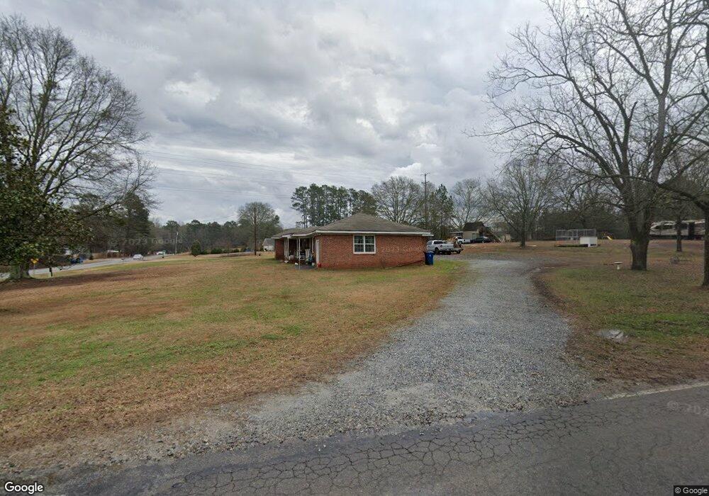
162 W Star St Bethlehem, GA 30620
Estimated Value: $307,000 - $418,000
5
Beds
2
Baths
2,148
Sq Ft
$166/Sq Ft
Est. Value
About This Home
This home is located at 162 W Star St, Bethlehem, GA 30620 and is currently estimated at $357,296, approximately $166 per square foot. 162 W Star St is a home located in Barrow County with nearby schools including Bethlehem Elementary School, Haymon-Morris Middle School, and Apalachee High School.
Ownership History
Date
Name
Owned For
Owner Type
Purchase Details
Closed on
Dec 21, 2023
Sold by
Lance Michael Douglas
Bought by
Mdl Real Property Holdings Llc
Current Estimated Value
Purchase Details
Closed on
Mar 12, 2014
Sold by
Wilder Judy Helton
Bought by
Lance Michael
Purchase Details
Closed on
Jun 20, 2008
Sold by
Helton Howard D
Bought by
Helton Mildred H
Create a Home Valuation Report for This Property
The Home Valuation Report is an in-depth analysis detailing your home's value as well as a comparison with similar homes in the area
Home Values in the Area
Average Home Value in this Area
Purchase History
| Date | Buyer | Sale Price | Title Company |
|---|---|---|---|
| Mdl Real Property Holdings Llc | -- | -- | |
| Lance Michael | $35,000 | -- | |
| Helton Mildred H | -- | -- |
Source: Public Records
Tax History Compared to Growth
Tax History
| Year | Tax Paid | Tax Assessment Tax Assessment Total Assessment is a certain percentage of the fair market value that is determined by local assessors to be the total taxable value of land and additions on the property. | Land | Improvement |
|---|---|---|---|---|
| 2024 | $2,177 | $84,491 | $16,036 | $68,455 |
| 2023 | $2,170 | $84,491 | $16,036 | $68,455 |
| 2022 | $1,631 | $55,166 | $16,036 | $39,130 |
| 2021 | $1,542 | $48,699 | $12,829 | $35,870 |
| 2020 | $1,639 | $51,439 | $17,200 | $34,239 |
| 2019 | $1,561 | $48,256 | $17,200 | $31,056 |
| 2018 | $1,557 | $48,256 | $17,200 | $31,056 |
| 2017 | $1,248 | $42,856 | $17,200 | $25,656 |
| 2016 | $1,385 | $42,856 | $17,200 | $25,656 |
| 2015 | $453 | $42,856 | $17,200 | $25,656 |
| 2014 | $761 | $24,268 | $8,428 | $15,840 |
| 2013 | -- | $23,159 | $8,428 | $14,731 |
Source: Public Records
Map
Nearby Homes
- 449 & 455 Carl-Bethlehem Rd
- 755 Harry McCarty Rd
- 0 Manger Ave E Unit 20154677
- 0 Manger Ave E Unit 20127001
- 824 Pruitt Rd
- 784 Manger Ave
- 724 Manger Ave
- 575 Mackinaw Dr
- 0 McElhannon Rd SW Unit 10581793
- 528 Harris Dr
- 0 Monroe Hwy Unit 10466108
- 0 Monroe Hwy Unit 7530054
- 0 Carson Wages Rd Unit 7617509
- 0 Carson Wages Rd Unit 10348307
- 1050 Bethlehem Church Rd
- 164 Manning Gin Rd
- 758 Clarence Edwards Rd
- 176 Market St
- 236 Vision St
- 0 Clarence Edwards Rd Unit 10587376
- 0 Harvey Lokey Rd Unit TRACT 2 7304043
- 0 Harvey Lokey Rd Unit TRACT 1 7304028
- 0 Harvey Lokey Rd Unit TRACT 2 7466223
- 0 Harvey Lokey Rd Unit TRACT 1 7465819
- 0 Harvey Lokey Rd Unit TRACT 2 7474763
- 0 Harvey Lokey Rd Unit 7633565
- 0 Harvey Lokey Rd Unit 7599220
- 0 Harvey Lokey Rd Unit 3174459
- 0 Harvey Lokey Rd Unit TRACT 2 8019723
- 0 Harvey Lokey Rd Unit 7506617
- 0 Harvey Lokey Rd Unit 7265980
- 0 Harvey Lokey Rd Unit 7265972
- 0 Harvey Lokey Rd Unit 7265961
- 0 Harvey Lokey Rd Unit 8082610
- 0 Harvey Lokey Rd Unit 8823652
- 0 Harvey Lokey Rd Unit 8897749
- 0 Harvey Lokey Rd Unit 3199549
- 0 Harvey Lokey Rd Unit 7288882
- 0 Harvey Lokey Rd Unit 7411437
- 0 Harvey Lokey Rd Unit 7540353