1620 Boyd Rd Tignall, GA 30668
Estimated Value: $159,000 - $178,830
2
Beds
2
Baths
1,220
Sq Ft
$138/Sq Ft
Est. Value
About This Home
This home is located at 1620 Boyd Rd, Tignall, GA 30668 and is currently estimated at $168,915, approximately $138 per square foot. 1620 Boyd Rd is a home located in Wilkes County with nearby schools including Washington-Wilkes Elementary School, Washington-Wilkes Primary School, and Washington-Wilkes Middle School.
Ownership History
Date
Name
Owned For
Owner Type
Purchase Details
Closed on
Mar 4, 2011
Sold by
Jewell Carl E
Bought by
Jewell Carl E and Jewell Amy D
Current Estimated Value
Home Financials for this Owner
Home Financials are based on the most recent Mortgage that was taken out on this home.
Original Mortgage
$55,000
Interest Rate
4.77%
Mortgage Type
Future Advance Clause Open End Mortgage
Purchase Details
Closed on
May 1, 1995
Bought by
Jewell Carl E and Jewell Amy
Purchase Details
Closed on
Jan 1, 1988
Purchase Details
Closed on
Dec 1, 1981
Create a Home Valuation Report for This Property
The Home Valuation Report is an in-depth analysis detailing your home's value as well as a comparison with similar homes in the area
Purchase History
| Date | Buyer | Sale Price | Title Company |
|---|---|---|---|
| Jewell Carl E | -- | -- | |
| Jewell Carl E | $42,000 | -- | |
| -- | $10,000 | -- | |
| -- | -- | -- |
Source: Public Records
Mortgage History
| Date | Status | Borrower | Loan Amount |
|---|---|---|---|
| Closed | Jewell Carl E | $55,000 |
Source: Public Records
Tax History
| Year | Tax Paid | Tax Assessment Tax Assessment Total Assessment is a certain percentage of the fair market value that is determined by local assessors to be the total taxable value of land and additions on the property. | Land | Improvement |
|---|---|---|---|---|
| 2025 | $747 | $36,228 | $14,666 | $21,562 |
| 2024 | $755 | $36,228 | $14,666 | $21,562 |
| 2023 | $738 | $36,228 | $14,666 | $21,562 |
| 2022 | $734 | $36,228 | $14,666 | $21,562 |
| 2021 | $747 | $36,228 | $14,666 | $21,562 |
| 2020 | $756 | $36,228 | $14,666 | $21,562 |
| 2019 | $761 | $36,228 | $14,666 | $21,562 |
| 2018 | $1,052 | $36,228 | $14,666 | $21,562 |
| 2017 | $1,052 | $36,228 | $14,666 | $21,562 |
| 2016 | $724 | $36,228 | $14,666 | $21,562 |
| 2015 | -- | $20,052 | $20,052 | $21,562 |
| 2014 | -- | $41,614 | $20,052 | $21,562 |
| 2013 | -- | $41,891 | $20,052 | $21,839 |
Source: Public Records
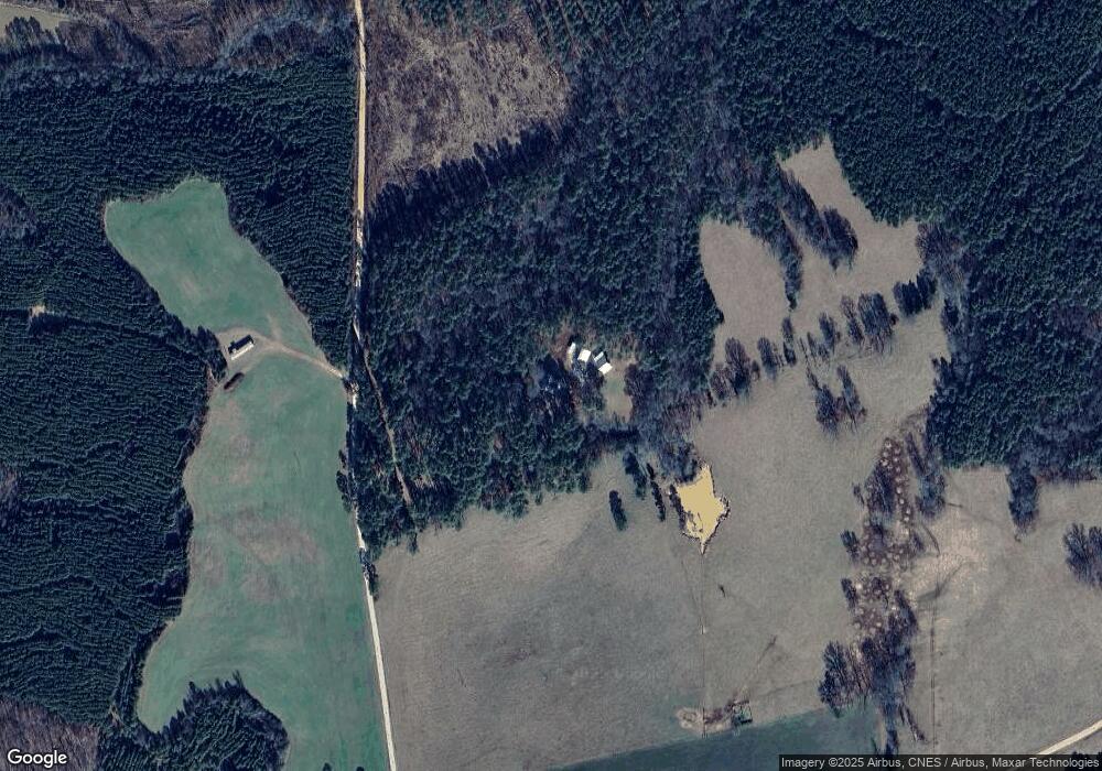
Map
Nearby Homes
- 1 Bunch Rd
- 4 Bunch Rd
- 191 Bunch Rd
- 179 Independence St
- 819 Jane Hill Rd
- 525 S Hulin Ave
- 0 Rogers Rd Unit 10683069
- 0 Hollis Norman Rd Unit 10657647
- 0 Hollis Norman Rd
- 129 Wooten West St
- 1302 River Rd
- Lot D Newtown Rd
- Lot C Newtown Rd
- Lot B Newtown Rd
- Lot E Newtown Rd
- 2973 River Rd
- 2724 Bells Ferry Rd
- 1650 Ware McLendon Rd
- Rocky Smith Branch Rd
- 6108 Danburg Rd
- 1739 Boyd Rd
- 1565 Boyd Rd
- 953 Mallorysville Rd
- 990 Mallorysville Rd
- 981 Mallorysville Rd
- 1073 Mallorysville Rd
- 1062 Mallorysville Rd
- 916 Mallorysville Rd
- 210 Bunch Rd
- 1134 Mallorysville Rd
- 1217 Mallorysville Rd
- 1172 Mallorysville Rd
- 490 Wright Rd
- 157 Wright Rd
- 1255 Mallorysville Rd
- 740 Mallorysville Rd
- 698 Mallorysville Rd
- 185 Wright Rd
- 1170 Mallorysville Rd
- 700 Mallorysville Rd
Your Personal Tour Guide
Ask me questions while you tour the home.