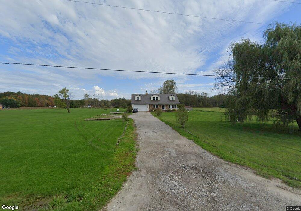
1620 Burns Rd Kimball, MI 48074
Estimated Value: $262,000 - $335,000
3
Beds
2
Baths
1,175
Sq Ft
$246/Sq Ft
Est. Value
About This Home
This home is located at 1620 Burns Rd, Kimball, MI 48074 and is currently estimated at $288,984, approximately $245 per square foot. 1620 Burns Rd is a home located in St. Clair County with nearby schools including Kimball Elementary School, Central Middle School, and Port Huron High School.
Create a Home Valuation Report for This Property
The Home Valuation Report is an in-depth analysis detailing your home's value as well as a comparison with similar homes in the area
Home Values in the Area
Average Home Value in this Area
Tax History
| Year | Tax Paid | Tax Assessment Tax Assessment Total Assessment is a certain percentage of the fair market value that is determined by local assessors to be the total taxable value of land and additions on the property. | Land | Improvement |
|---|---|---|---|---|
| 2025 | $1,304 | $134,700 | $0 | $0 |
| 2024 | $1,265 | $127,100 | $0 | $0 |
| 2023 | $1,159 | $117,600 | $0 | $0 |
| 2022 | $1,995 | $104,200 | $0 | $0 |
| 2020 | $1,801 | $92,400 | $92,400 | $0 |
| 2019 | $1,767 | $89,800 | $0 | $0 |
| 2018 | $1,726 | $73,300 | $0 | $0 |
| 2017 | $1,690 | $70,000 | $0 | $0 |
| 2016 | $943 | $70,000 | $0 | $0 |
| 2015 | -- | $69,900 | $69,900 | $0 |
| 2014 | -- | $82,100 | $82,100 | $0 |
| 2013 | -- | $71,400 | $0 | $0 |
Source: Public Records
Map
Nearby Homes
- 1900 Burns Rd
- 0 Richman Rd Unit 50197304
- 0 Sparling Rd Unit 2210034403
- 6776 Ravenswood Rd
- 6417 Dove Rd
- 0 Sparling Unit 20230091288
- 8237 Lambs Rd
- 6376 Ravenswood Rd
- 7330 Smiths Creek Rd
- 00 Griswold Rd
- I-69 vac Taylor Dr
- 2007 Edward Ln E
- 2047 Edward Ln E
- 6550 Lapeer Rd
- 0000 Conrad Dr
- 1948 Meadowlark Ln
- 1906 Morningstar Ave
- 00 Smiths Creek Rd Smiths Creek Rd
- 3309 Rabidue Rd
- 00000 Lapeer Rd
Your Personal Tour Guide
Ask me questions while you tour the home.