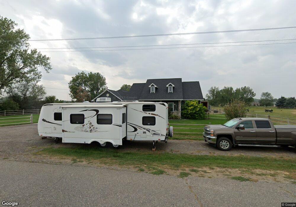
1620 Date St Huntley, MT 59037
Huntley NeighborhoodEstimated Value: $429,000 - $517,000
3
Beds
3
Baths
2,074
Sq Ft
$222/Sq Ft
Est. Value
About This Home
This home is located at 1620 Date St, Huntley, MT 59037 and is currently estimated at $461,091, approximately $222 per square foot. 1620 Date St is a home located in Yellowstone County with nearby schools including Huntley Project Elementary School, Huntley Project Junior High School, and Huntley Project High School.
Ownership History
Date
Name
Owned For
Owner Type
Purchase Details
Closed on
Feb 27, 2007
Sold by
Hooper Juanita A
Bought by
Kelly James C and Kelly Laurie A
Current Estimated Value
Home Financials for this Owner
Home Financials are based on the most recent Mortgage that was taken out on this home.
Original Mortgage
$180,000
Outstanding Balance
$107,567
Interest Rate
6.21%
Mortgage Type
Unknown
Estimated Equity
$353,524
Create a Home Valuation Report for This Property
The Home Valuation Report is an in-depth analysis detailing your home's value as well as a comparison with similar homes in the area
Home Values in the Area
Average Home Value in this Area
Purchase History
We collect this data history from publicly available records. To have your information removed, we recommend requesting removal directly through your county’s website.
| Date | Buyer | Sale Price | Title Company |
|---|---|---|---|
| Kelly James C | -- | None Available |
Source: Public Records
Mortgage History
We collect this data history from publicly available records. To have your information removed, we recommend requesting removal directly through your county’s website.
| Date | Status | Borrower | Loan Amount |
|---|---|---|---|
| Open | Kelly James C | $180,000 |
Source: Public Records
Tax History
| Year | Tax Paid | Tax Assessment Tax Assessment Total Assessment is a certain percentage of the fair market value that is determined by local assessors to be the total taxable value of land and additions on the property. | Land | Improvement |
|---|---|---|---|---|
| 2025 | $2,340 | $439,800 | $45,949 | $393,851 |
| 2024 | $2,340 | $397,200 | $45,733 | $351,467 |
| 2023 | $2,861 | $397,200 | $45,733 | $351,467 |
| 2022 | $2,339 | $308,900 | $0 | $0 |
| 2021 | $2,416 | $308,900 | $0 | $0 |
| 2020 | $2,438 | $307,100 | $0 | $0 |
| 2019 | $2,373 | $307,100 | $0 | $0 |
| 2018 | $2,457 | $298,500 | $0 | $0 |
| 2017 | $2,415 | $298,500 | $0 | $0 |
| 2016 | $2,056 | $279,800 | $0 | $0 |
| 2015 | $2,218 | $279,800 | $0 | $0 |
| 2014 | $1,896 | $126,405 | $0 | $0 |
Source: Public Records
Map
Nearby Homes
- 121 Peritse Ave
- 1679 Jute St
- 6513 Frey Rd
- 1320 Florian Ave
- 1794 N 4th Rd
- 6107 Shepherd Rd
- 0 Shepherd Road Lot 2a Shepherd Rd
- 1251 Chipper Ln
- 0 Shepherd Road Lot Shepherd Rd
- 1246 Chipper Ln
- 1191 Chipper Ln
- 3700 Louis Dr
- 5430 Cerkoney Ln
- 6447 US Highway 312
- 7729 Buckskin Dr
- 4780 Powmer Rd
- 3335 White Buffalo Rd
- 591 Squaw Creek Rd
- 581 Squaw Creek Rd
- 6853 Shooters Bluff Trail
Your Personal Tour Guide
Ask me questions while you tour the home.