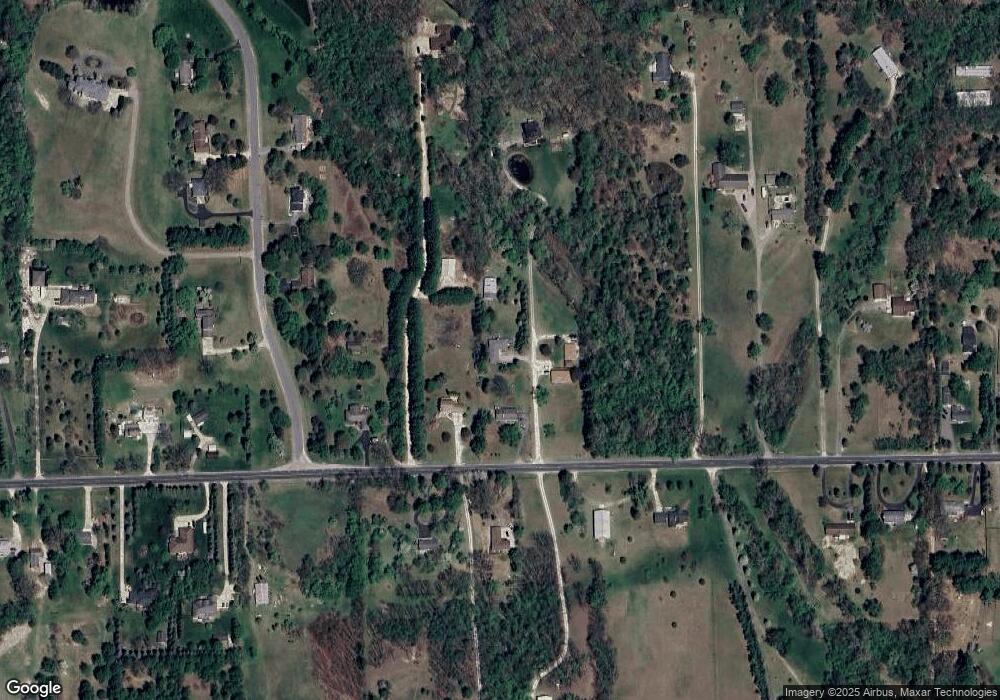
1620 Judd Rd Saline, MI 48176
Estimated Value: $425,000 - $484,000
3
Beds
2
Baths
2,588
Sq Ft
$174/Sq Ft
Est. Value
About This Home
This home is located at 1620 Judd Rd, Saline, MI 48176 and is currently estimated at $449,809, approximately $173 per square foot. 1620 Judd Rd is a home located in Washtenaw County with nearby schools including Pleasant Ridge Elementary School, Heritage School, and Saline Middle School.
Ownership History
Date
Name
Owned For
Owner Type
Purchase Details
Closed on
Dec 15, 2006
Sold by
Fannie Mae
Bought by
Weatherwax Kristen and Lawver Chad
Current Estimated Value
Home Financials for this Owner
Home Financials are based on the most recent Mortgage that was taken out on this home.
Original Mortgage
$164,925
Outstanding Balance
$98,222
Interest Rate
6.24%
Mortgage Type
Purchase Money Mortgage
Estimated Equity
$351,587
Purchase Details
Closed on
Dec 29, 2005
Sold by
Pavilion Mortgage Co
Bought by
Federal National Mortgage Association
Purchase Details
Closed on
Nov 17, 2005
Sold by
Duncan Eric T
Bought by
Pavilion Mortgage Co
Purchase Details
Closed on
Jul 28, 1997
Sold by
Graban Theodore S
Bought by
Eric T Duncan
Home Financials for this Owner
Home Financials are based on the most recent Mortgage that was taken out on this home.
Original Mortgage
$152,900
Interest Rate
7.71%
Mortgage Type
New Conventional
Create a Home Valuation Report for This Property
The Home Valuation Report is an in-depth analysis detailing your home's value as well as a comparison with similar homes in the area
Home Values in the Area
Average Home Value in this Area
Purchase History
| Date | Buyer | Sale Price | Title Company |
|---|---|---|---|
| Weatherwax Kristen | $219,900 | Fatic | |
| Federal National Mortgage Association | -- | None Available | |
| Pavilion Mortgage Co | $205,510 | None Available | |
| Eric T Duncan | $169,900 | -- |
Source: Public Records
Mortgage History
| Date | Status | Borrower | Loan Amount |
|---|---|---|---|
| Open | Weatherwax Kristen | $164,925 | |
| Previous Owner | Eric T Duncan | $152,900 |
Source: Public Records
Tax History Compared to Growth
Tax History
| Year | Tax Paid | Tax Assessment Tax Assessment Total Assessment is a certain percentage of the fair market value that is determined by local assessors to be the total taxable value of land and additions on the property. | Land | Improvement |
|---|---|---|---|---|
| 2025 | $3,920 | $184,100 | $0 | $0 |
| 2024 | $3,369 | $168,600 | $0 | $0 |
| 2023 | $3,214 | $155,700 | $0 | $0 |
| 2022 | $3,795 | $145,700 | $0 | $0 |
| 2021 | $3,687 | $139,800 | $0 | $0 |
| 2020 | $3,640 | $137,200 | $0 | $0 |
| 2019 | $3,545 | $130,800 | $130,800 | $0 |
| 2018 | $3,474 | $127,800 | $0 | $0 |
| 2017 | $3,317 | $125,400 | $0 | $0 |
| 2016 | $2,785 | $97,600 | $0 | $0 |
| 2015 | -- | $97,400 | $0 | $0 |
| 2014 | -- | $94,400 | $0 | $0 |
| 2013 | -- | $94,400 | $0 | $0 |
Source: Public Records
Map
Nearby Homes
- 9559 Sherwood Dr
- 9187 Charter Oak Ln
- 9370 Moon Rd
- 9004 Charter Oak Ln
- 9002 York Crest Dr
- 9003 York Crest Dr
- 9037 Yorkshire Dr
- 9001 Yorkshire Dr
- 10196 Meadowmere Place
- 9935 White Tail Dr
- 9931 White Tail Dr
- 1623 Wildwood Ln
- 1687 W Willis Rd
- 10612 Valley View Dr
- 10618 Valley View Dr
- 10619 Valley View Dr
- 10210 Valley Farms
- 10298 High Meadow
- 9608 Valley View Dr
- 10631 Valley View Dr
