1620 N Loop 289 Lubbock, TX 79403
Estimated Value: $35,000 - $2,456,186
--
Bed
--
Bath
--
Sq Ft
58.05
Acres
About This Home
This home is located at 1620 N Loop 289, Lubbock, TX 79403 and is currently estimated at $897,729. 1620 N Loop 289 is a home located in Lubbock County with nearby schools including Wright Elementary School, Estacado High School, and A C Elementary School.
Ownership History
Date
Name
Owned For
Owner Type
Purchase Details
Closed on
Sep 7, 2018
Sold by
Lubbock Christina University
Bought by
Lubbock Allstar Truck Wash & Lube Llc
Current Estimated Value
Purchase Details
Closed on
Aug 22, 2011
Sold by
Slaton Warehouse Associates L C
Bought by
Lubbock Christian University Foundation
Purchase Details
Closed on
Jun 13, 1997
Sold by
Ingersoll Rand Co
Bought by
Lubbock Christian Univ Foundation
Purchase Details
Closed on
Sep 1, 1981
Bought by
Lubbock Christian Univ Foundation
Create a Home Valuation Report for This Property
The Home Valuation Report is an in-depth analysis detailing your home's value as well as a comparison with similar homes in the area
Home Values in the Area
Average Home Value in this Area
Purchase History
| Date | Buyer | Sale Price | Title Company |
|---|---|---|---|
| Lubbock Allstar Truck Wash & Lube Llc | -- | Service Title | |
| Lubbock Christian University Foundation | -- | None Available | |
| Lubbock Christian Univ Foundation | -- | -- | |
| Lubbock Christian Univ Foundation | -- | -- |
Source: Public Records
Tax History Compared to Growth
Tax History
| Year | Tax Paid | Tax Assessment Tax Assessment Total Assessment is a certain percentage of the fair market value that is determined by local assessors to be the total taxable value of land and additions on the property. | Land | Improvement |
|---|---|---|---|---|
| 2025 | $6,969 | $383,768 | $383,768 | -- |
| 2024 | $6,969 | $383,768 | $383,768 | $0 |
| 2023 | $7,134 | $383,768 | $383,768 | $0 |
| 2022 | $7,769 | $383,768 | $383,768 | $0 |
| 2021 | $8,219 | $383,768 | $383,768 | $0 |
| 2020 | $8,345 | $383,768 | $383,768 | $0 |
| 2019 | $8,615 | $383,768 | $383,768 | $0 |
| 2018 | $8,627 | $383,768 | $383,768 | $0 |
| 2017 | $8,638 | $383,768 | $383,768 | $0 |
| 2016 | $8,638 | $383,768 | $383,768 | $0 |
| 2015 | $8,533 | $383,768 | $383,768 | $0 |
| 2014 | $8,533 | $383,768 | $383,768 | $0 |
Source: Public Records
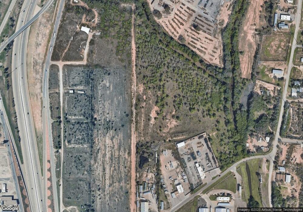
Map
Nearby Homes
- 121 E Kemper St
- 904 Tulane St
- 503 E Rice St
- 714 Wabash St
- 901 E Fordham St
- 506 E Ursuline St
- 1506 Bates St
- 2208 North Ave N
- 2210 N Ave N
- 321 N Avenue Q
- 930 E Municipal Dr
- 904 E Stanford St
- 2102 N Ridge Rd
- 1509 E Tulane St
- 936 E Municipal Dr
- 917 Adrian St
- 1602 Xavier St
- 1240 Wheelock St
- 2605 N Cypress Rd
- 1313 Adrian St
- 910 Interstate 27
- 420 Erskine St
- 2408 N Avenue H
- 7708 N Avenue H
- 7906 N Avenue H
- 5401 N Avenue H
- 5315 N Avenue H
- 3505 N Avenue H
- 7502 N Avenue H
- 3901 N Avenue H
- 4608 N Avenue H
- 5311 N Avenue H
- 502 Erskine St
- 805 Fordham St
- 1109 N Ash Ave
- 602 N Ash Ave
- 1116 N Ash Ave
- 1118 N Ash Ave
- 106 E Kemper St
- 721 Erskine St