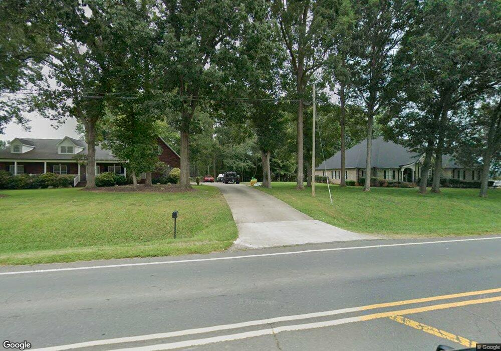
1620 Nc 152 W China Grove, NC 28023
Estimated Value: $479,437 - $580,000
--
Bed
3
Baths
2,663
Sq Ft
$202/Sq Ft
Est. Value
About This Home
This home is located at 1620 Nc 152 W, China Grove, NC 28023 and is currently estimated at $537,609, approximately $201 per square foot. 1620 Nc 152 W is a home located in Rowan County with nearby schools including China Grove Elementary School, China Grove Middle School, and South Rowan High School.
Ownership History
Date
Name
Owned For
Owner Type
Purchase Details
Closed on
Jun 17, 2009
Sold by
Wensil Ricky and Wensil Rick
Bought by
Williams Teddy S and Williams Wanda D
Current Estimated Value
Home Financials for this Owner
Home Financials are based on the most recent Mortgage that was taken out on this home.
Original Mortgage
$249,287
Outstanding Balance
$157,503
Interest Rate
4.77%
Mortgage Type
FHA
Estimated Equity
$380,106
Purchase Details
Closed on
Oct 30, 2008
Sold by
The Bank Of New York Mellon Trust Compan
Bought by
Wensil Rick
Purchase Details
Closed on
Oct 14, 2008
Sold by
Khan Munawar A and Khan Karen
Bought by
The Bank Of New York Mellon Trust Compan
Create a Home Valuation Report for This Property
The Home Valuation Report is an in-depth analysis detailing your home's value as well as a comparison with similar homes in the area
Home Values in the Area
Average Home Value in this Area
Purchase History
| Date | Buyer | Sale Price | Title Company |
|---|---|---|---|
| Williams Teddy S | $263,000 | None Available | |
| Wensil Rick | $186,500 | None Available | |
| The Bank Of New York Mellon Trust Compan | $216,750 | None Available |
Source: Public Records
Mortgage History
| Date | Status | Borrower | Loan Amount |
|---|---|---|---|
| Open | Williams Teddy S | $249,287 |
Source: Public Records
Tax History Compared to Growth
Tax History
| Year | Tax Paid | Tax Assessment Tax Assessment Total Assessment is a certain percentage of the fair market value that is determined by local assessors to be the total taxable value of land and additions on the property. | Land | Improvement |
|---|---|---|---|---|
| 2025 | $3,294 | $486,133 | $36,000 | $450,133 |
| 2024 | $3,294 | $486,133 | $36,000 | $450,133 |
| 2023 | $3,294 | $486,133 | $36,000 | $450,133 |
| 2022 | $2,261 | $299,412 | $30,000 | $269,412 |
| 2021 | $2,201 | $299,412 | $30,000 | $269,412 |
| 2020 | $2,201 | $299,412 | $30,000 | $269,412 |
| 2019 | $2,201 | $299,412 | $30,000 | $269,412 |
| 2018 | $1,869 | $256,448 | $30,000 | $226,448 |
| 2017 | $1,869 | $256,448 | $30,000 | $226,448 |
| 2016 | $1,869 | $256,448 | $30,000 | $226,448 |
| 2015 | $1,898 | $256,448 | $30,000 | $226,448 |
| 2014 | $1,785 | $252,255 | $30,000 | $222,255 |
Source: Public Records
Map
Nearby Homes
- 136 Autumn Blaze Rd
- 150 Autumn Blaze Rd
- 180 Autumn Blaze Rd
- 633 Patterson St
- 2135 Nc 152 W
- 219 Berrybeth Cir
- 200 Boysenberry
- 518 Westside Cir
- 575 Brown Rd
- 403 Stevens St
- 402 Louise Ave
- 2785 Nc 152 W
- 702 N Highland Ridge Dr
- 515 W Stokes St
- 205 W Centerview St
- 121 W Centerview St
- 440 Mt Moriah Church Rd
- 420 Black Bear St Unit 152p
- 798 Wilson St
- 309 Woodhaven Dr
- 1620 Hwy 152 Hwy
- 1650 Nc 152 W
- 320 Stirewalt Rd
- 1053 Rosewood Dr
- 1031 Rosewood Dr
- 1690 Nc 152 W
- 1625 Nc 152 W
- 1075 Rosewood Dr
- 286 Stirewalt Rd
- 1685 Nc 152 W
- 1092 Rosewood Dr
- 280 Stirewalt Rd
- 1026 Rosewood Dr
- 1048 Rosewood Dr
- 183 Mackenzie Ct
- 1004 Rosewood Dr Unit 14
- 1004 Rosewood Dr
- 1070 Rosewood Dr
- 246 Stirewalt Rd
- 240 Stirewalt Rd