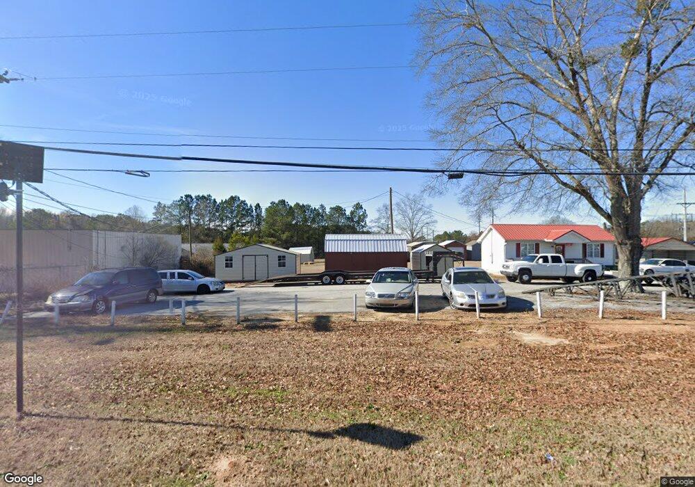
1620 S Broad St Monroe, GA 30655
Estimated Value: $669,161
Studio
--
Bath
16,716
Sq Ft
$40/Sq Ft
Est. Value
About This Home
This home is located at 1620 S Broad St, Monroe, GA 30655 and is currently priced at $669,161, approximately $40 per square foot. 1620 S Broad St is a home located in Walton County with nearby schools including Harmony Elementary School, Carver Middle School, and Monroe Area High School.
Ownership History
Date
Name
Owned For
Owner Type
Purchase Details
Closed on
Aug 7, 2019
Sold by
Swe Investments Ga Llc
Bought by
Hasbro Property Llc
Current Estimated Value
Home Financials for this Owner
Home Financials are based on the most recent Mortgage that was taken out on this home.
Original Mortgage
$320,000
Interest Rate
3.7%
Mortgage Type
Commercial
Purchase Details
Closed on
Nov 27, 2013
Sold by
United Community Bank
Bought by
Swe Investments Ga Llc
Purchase Details
Closed on
Mar 6, 2012
Sold by
Emmanuel Praise Church Inc
Bought by
United Community Bank
Create a Home Valuation Report for This Property
The Home Valuation Report is an in-depth analysis detailing your home's value as well as a comparison with similar homes in the area
Home Values in the Area
Average Home Value in this Area
Purchase History
| Date | Buyer | Sale Price | Title Company |
|---|---|---|---|
| Hasbro Property Llc | $400,000 | -- | |
| Swe Investments Ga Llc | $187,000 | -- | |
| United Community Bank | $512,204 | -- |
Source: Public Records
Mortgage History
| Date | Status | Borrower | Loan Amount |
|---|---|---|---|
| Closed | Hasbro Property Llc | $320,000 |
Source: Public Records
Tax History
| Year | Tax Paid | Tax Assessment Tax Assessment Total Assessment is a certain percentage of the fair market value that is determined by local assessors to be the total taxable value of land and additions on the property. | Land | Improvement |
|---|---|---|---|---|
| 2025 | $21,922 | $623,180 | $99,680 | $523,500 |
| 2024 | $20,498 | $602,180 | $78,680 | $523,500 |
| 2023 | $16,207 | $463,540 | $78,680 | $384,860 |
| 2022 | $13,192 | $353,260 | $78,680 | $274,580 |
| 2021 | $6,188 | $160,100 | $38,880 | $121,220 |
| 2020 | $6,346 | $160,100 | $38,880 | $121,220 |
| 2019 | $9,025 | $227,860 | $39,031 | $188,829 |
| 2018 | $8,974 | $227,860 | $39,031 | $188,829 |
| 2017 | $9,549 | $227,860 | $38,880 | $188,980 |
| 2016 | $9,394 | $227,860 | $38,880 | $188,980 |
| 2015 | $9,561 | $227,860 | $38,880 | $188,980 |
| 2014 | $3,233 | $232,720 | $38,880 | $193,840 |
Source: Public Records
Map
Nearby Homes
- 339 Flat Creek Dr
- 1328 S Madison Ave
- 227 Atha St
- 1230 S Madison Ave
- 206 Walker Dr
- 212 Walker Dr
- 1435 Creek View Dr
- 326 Twin Oaks Dr
- 429 Red Oak Ct
- 1037 S Madison Ave
- 2061 Leroy Anderson Rd
- 564 White Oak Way
- 16 Boxwood Ct
- 404 Walker Dr
- 736 Wheel House Ln Unit B
- 739 Wheel House Ln Unit B
- 739 Wheel House Ln Unit A
- 1017 Wheel House Ln
- 1017 Wheel House Ln Unit A
- 1026 Wheel House Ln Unit H
- 433 White Oak Way
- 400 White Oak Way
- 400 White Oak Way
- 424 White Oak Way
- 1557 S Broad St
- 115 Vine St
- 1510 Laboon Rd
- 1550 Laboon Rd
- 222 Flat Creek Dr Unit 10
- 339 Flat Creek Dr Unit 20
- 331 Flat Creek Dr Unit 21
- 313 Flat Creek Dr Unit 22
- 279 Flat Creek Dr Unit 23
- 313 Flat Creek Dr
- 279 Flat Creek Dr
- 331 Flat Creek Dr
- 338 Flat Creek Dr Unit 19
- 330 Flat Creek Dr Unit 18
- 320 Flat Creek Dr Unit 17
- 338 Flat Creek Dr
Your Personal Tour Guide
Ask me questions while you tour the home.