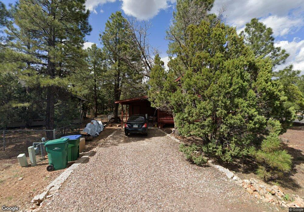
1620 W Huning Show Low, AZ 85901
Estimated Value: $255,000 - $285,000
2
Beds
1
Bath
923
Sq Ft
$291/Sq Ft
Est. Value
About This Home
This home is located at 1620 W Huning, Show Low, AZ 85901 and is currently estimated at $268,568, approximately $290 per square foot. 1620 W Huning is a home located in Navajo County with nearby schools including Whipple Ranch Elementary School, Show Low High School, and Show Low Junior High School.
Ownership History
Date
Name
Owned For
Owner Type
Purchase Details
Closed on
Jan 3, 2025
Sold by
Crunk Jason C
Bought by
1620 Wh Llc
Current Estimated Value
Purchase Details
Closed on
Apr 21, 2008
Sold by
Arnold Craig M and Arnold Dianna Y
Bought by
Crunk Jason C
Home Financials for this Owner
Home Financials are based on the most recent Mortgage that was taken out on this home.
Original Mortgage
$127,597
Interest Rate
5.87%
Mortgage Type
FHA
Create a Home Valuation Report for This Property
The Home Valuation Report is an in-depth analysis detailing your home's value as well as a comparison with similar homes in the area
Home Values in the Area
Average Home Value in this Area
Purchase History
| Date | Buyer | Sale Price | Title Company |
|---|---|---|---|
| 1620 Wh Llc | -- | None Listed On Document | |
| 1620 Wh Llc | -- | None Listed On Document | |
| Crunk Jason C | $129,000 | First American Title |
Source: Public Records
Mortgage History
| Date | Status | Borrower | Loan Amount |
|---|---|---|---|
| Previous Owner | Crunk Jason C | $127,597 |
Source: Public Records
Tax History Compared to Growth
Tax History
| Year | Tax Paid | Tax Assessment Tax Assessment Total Assessment is a certain percentage of the fair market value that is determined by local assessors to be the total taxable value of land and additions on the property. | Land | Improvement |
|---|---|---|---|---|
| 2026 | $942 | -- | -- | -- |
| 2025 | $927 | $19,808 | $3,250 | $16,558 |
| 2024 | $870 | $19,642 | $3,100 | $16,542 |
| 2023 | $927 | $15,602 | $2,598 | $13,004 |
| 2022 | $870 | $0 | $0 | $0 |
| 2021 | $883 | $0 | $0 | $0 |
| 2020 | $822 | $0 | $0 | $0 |
| 2019 | $822 | $0 | $0 | $0 |
| 2018 | $779 | $0 | $0 | $0 |
| 2017 | $711 | $0 | $0 | $0 |
| 2016 | $702 | $0 | $0 | $0 |
| 2015 | $662 | $6,514 | $1,400 | $5,114 |
Source: Public Records
Map
Nearby Homes
- 1880 W Merrill
- 20 N Fox Run
- 1241 W Mcneil
- 40 N Canyon Loop
- 261 N Fox Run
- 261 N Canyon Loop
- 201 N Canyon Loop
- 221 N Canyon Loop
- 360 S 12th Ave
- 320 S 11th Ave
- 2350 W Bench Cir
- TBD E Ellsworth Rd
- TDB N 18th Ave
- 461 N 9th Dr
- 30 S Bench Cir
- 50 S Bench Cir
- 1751-1781 W Deuce of Clubs
- 640 S Clark Rd
- 580 S Clark Rd
- 2200 W Park Valley Rd