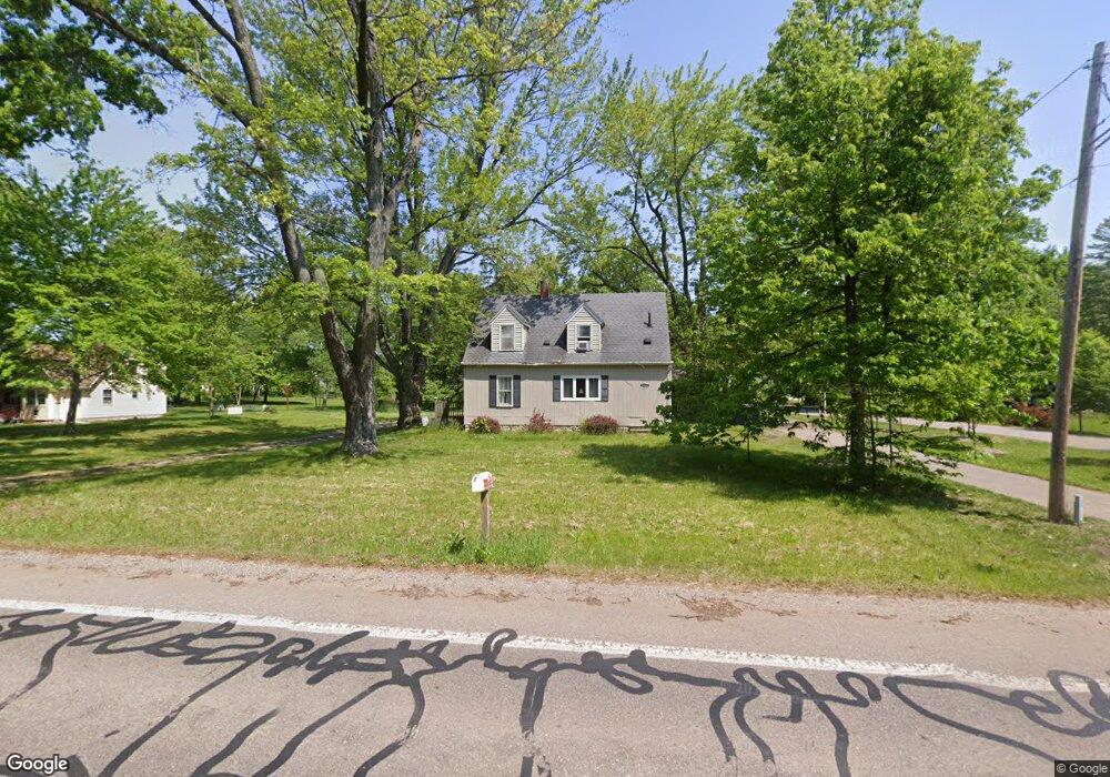
1620 W Osterhout Ave Portage, MI 49024
Estimated Value: $234,000 - $305,000
3
Beds
1
Bath
1,688
Sq Ft
$160/Sq Ft
Est. Value
About This Home
This home is located at 1620 W Osterhout Ave, Portage, MI 49024 and is currently estimated at $269,852, approximately $159 per square foot. 1620 W Osterhout Ave is a home located in Kalamazoo County with nearby schools including Moorsbridge Elementary School, Portage Central Middle School, and Portage Central High School.
Ownership History
Date
Name
Owned For
Owner Type
Purchase Details
Closed on
Sep 1, 2005
Sold by
Klein Ken and Klein Nancy
Bought by
Williamson Erik A and Williamson Jennifer M
Current Estimated Value
Home Financials for this Owner
Home Financials are based on the most recent Mortgage that was taken out on this home.
Original Mortgage
$113,998
Outstanding Balance
$61,296
Interest Rate
5.93%
Mortgage Type
FHA
Estimated Equity
$208,556
Purchase Details
Closed on
Oct 30, 2003
Sold by
Conkie Allen F and Conkie Janice E
Bought by
Wachovia Bank Na and Long Beach Mortgage Loan Trust 2000-1
Create a Home Valuation Report for This Property
The Home Valuation Report is an in-depth analysis detailing your home's value as well as a comparison with similar homes in the area
Home Values in the Area
Average Home Value in this Area
Purchase History
| Date | Buyer | Sale Price | Title Company |
|---|---|---|---|
| Williamson Erik A | $114,900 | Chicago Title | |
| Wachovia Bank Na | $129,845 | -- |
Source: Public Records
Mortgage History
| Date | Status | Borrower | Loan Amount |
|---|---|---|---|
| Open | Williamson Erik A | $113,998 |
Source: Public Records
Tax History Compared to Growth
Tax History
| Year | Tax Paid | Tax Assessment Tax Assessment Total Assessment is a certain percentage of the fair market value that is determined by local assessors to be the total taxable value of land and additions on the property. | Land | Improvement |
|---|---|---|---|---|
| 2025 | $3,501 | $115,900 | $0 | $0 |
| 2024 | $3,082 | $102,400 | $0 | $0 |
| 2023 | $3,004 | $101,300 | $0 | $0 |
| 2022 | $3,246 | $94,500 | $0 | $0 |
| 2021 | $3,137 | $84,800 | $0 | $0 |
| 2020 | $3,069 | $73,200 | $0 | $0 |
| 2019 | $276 | $71,100 | $0 | $0 |
| 2018 | $0 | $71,200 | $0 | $0 |
| 2017 | $0 | $64,100 | $0 | $0 |
| 2016 | -- | $75,300 | $0 | $0 |
| 2015 | -- | $71,900 | $0 | $0 |
| 2014 | -- | $70,400 | $0 | $0 |
Source: Public Records
Map
Nearby Homes
- 10382 Pennridge Dr
- 10381 Schrier Ln
- 10476 Schrier Ln
- 10450 Schrier Ln
- 1817 Alder Ave
- Integrity 1800 Plan at Pennridge Trail North
- Integrity 2085 Plan at Pennridge Trail North
- Integrity 1910 Plan at Pennridge Trail North
- 10197 Pennridge Dr
- 1225 Bear Lake Cir
- 10187 Pennridge Dr
- 10180 Pennridge Dr
- 10565 Pierport Dr
- 10531 Pierport Dr
- 10170 Pennridge Dr
- 10160 Pennridge Dr
- 10126 Pennridge Trail
- 10118 Pennridge Dr
- 2221 Mapleview Ave
- 10029 Kearns Ct
- 1702 W Osterhout Ave
- 1610 W Osterhout Ave
- 1604 W Osterhout Ave
- 1608 W Osterhout Ave
- 10495 Pennridge Dr
- 1722 W Osterhout Ave
- 10471 Pennridge Dr
- 10483 Pennridge Dr
- 10459 Pennridge Dr
- 10447 Pennridge Dr
- 1723 W Osterhout Ave
- 10435 Pennridge Dr
- 1512 W Osterhout Ave
- 10423 Pennridge Dr
- 10450 Pennridge Dr
- 1847 Alder Ave
- 10438 Pennridge Dr
- 10411 Pennridge Dr
- 10426 Pennridge Dr
- 10393 Pennridge Dr