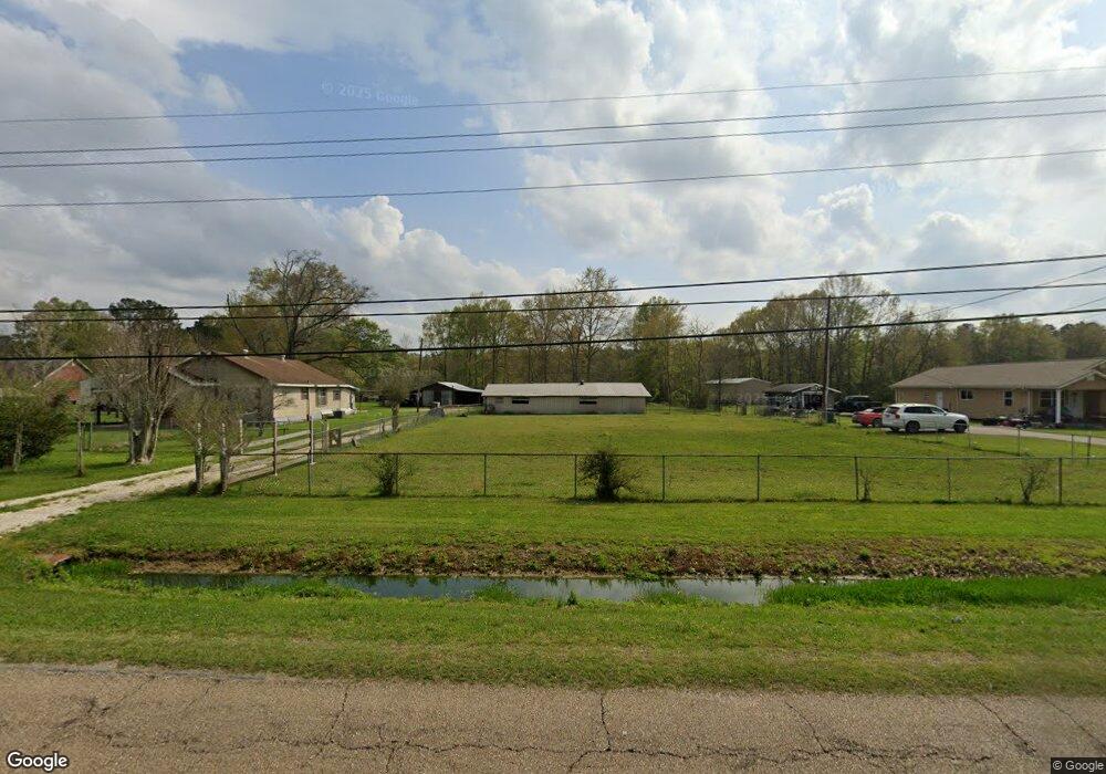
16200 Highway 442 Tickfaw, LA 70466
Estimated Value: $167,018 - $204,000
3
Beds
2
Baths
1,650
Sq Ft
$115/Sq Ft
Est. Value
About This Home
This home is located at 16200 Highway 442, Tickfaw, LA 70466 and is currently estimated at $189,755, approximately $115 per square foot. 16200 Highway 442 is a home located in Tangipahoa Parish with nearby schools including Lucille Nesom Memorial School, Independence High Magnet, and Trafton Academy At Hammond.
Ownership History
Date
Name
Owned For
Owner Type
Purchase Details
Closed on
Nov 17, 2014
Sold by
Bentivegna Peter Kelly and Bentivegna Richard Carlo
Bought by
Sprowls Rex M and Sprowls Lauren L
Current Estimated Value
Home Financials for this Owner
Home Financials are based on the most recent Mortgage that was taken out on this home.
Original Mortgage
$114,850
Outstanding Balance
$87,947
Interest Rate
3.99%
Mortgage Type
New Conventional
Estimated Equity
$101,808
Create a Home Valuation Report for This Property
The Home Valuation Report is an in-depth analysis detailing your home's value as well as a comparison with similar homes in the area
Home Values in the Area
Average Home Value in this Area
Purchase History
| Date | Buyer | Sale Price | Title Company |
|---|---|---|---|
| Sprowls Rex M | $121,000 | Clean Title |
Source: Public Records
Mortgage History
| Date | Status | Borrower | Loan Amount |
|---|---|---|---|
| Open | Sprowls Rex M | $114,850 |
Source: Public Records
Tax History Compared to Growth
Tax History
| Year | Tax Paid | Tax Assessment Tax Assessment Total Assessment is a certain percentage of the fair market value that is determined by local assessors to be the total taxable value of land and additions on the property. | Land | Improvement |
|---|---|---|---|---|
| 2024 | -- | $5,583 | $194 | $5,389 |
| 2023 | $0 | $5,582 | $194 | $5,388 |
| 2022 | $486 | $5,582 | $194 | $5,388 |
| 2021 | $486 | $5,582 | $194 | $5,388 |
| 2020 | $486 | $5,582 | $194 | $5,388 |
| 2019 | $485 | $5,582 | $194 | $5,388 |
| 2018 | $486 | $5,582 | $194 | $5,388 |
| 2017 | $486 | $5,582 | $194 | $5,388 |
| 2016 | $486 | $5,582 | $194 | $5,388 |
| 2015 | -- | $5,582 | $194 | $5,388 |
| 2014 | -- | $5,556 | $168 | $5,388 |
Source: Public Records
Map
Nearby Homes
- TBD Hwy 442 and Hwy 1065
- TBD
- 16197 Trapen Ln
- 15693 Highway 442 None
- 15693 Highway 442
- 51075 Jenkins Ln
- 0 Riverside Ln Unit 2500895
- 17104 Cherokee Trace
- 17169 Cherokee Trace
- 17159 Cherokee Trace
- 17184 Cherokee Trace
- 51159 River Bend Dr
- 51284 River Bend Dr
- 51151 River Bend Dr
- 51271 River Bend Dr
- Tract X River Bend Dr
- 17093 Cherokee Trace
- 51274 Riverbend Dr
- 0 Buddy D Ln Unit 2520321
- 00 Louisiana 442
- 16200 Highway 442
- 16200 Highway 442
- 16180 Highway 442
- 16134 Highway 442
- 16220 Highway 442
- 16230 Highway 442
- 16231 Highway 442
- 16204 Highway 442
- 50270 Pisciotta Place
- 50269 Pisciotta Place
- 16211 Highway 442
- 16248 Hwy 442 None
- 16248 Highway 442
- 16248 Highway 442
- 16247 Highway 442
- 50310 Pisciotta Place
- 16266 Highway 442
- 50211 Whiskey Ln
- 50309 Pisciotta Place
- 50237 Whiskey Ln