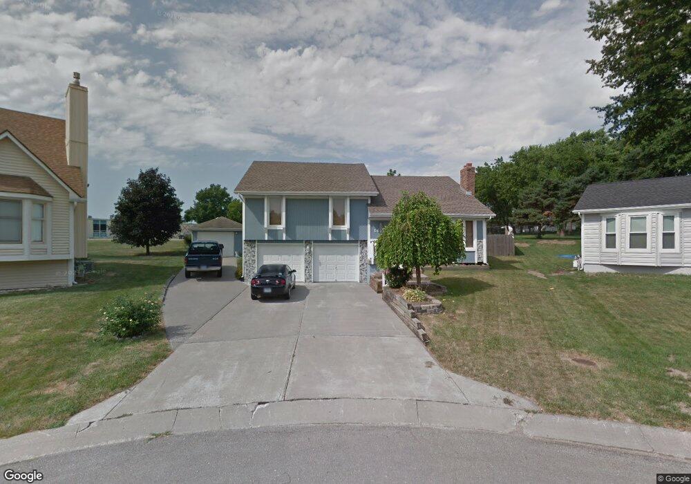
16201 E 26th St S Independence, MO 64055
Glendale NeighborhoodEstimated Value: $297,110 - $355,000
3
Beds
3
Baths
1,606
Sq Ft
$200/Sq Ft
Est. Value
About This Home
This home is located at 16201 E 26th St S, Independence, MO 64055 and is currently estimated at $321,028, approximately $199 per square foot. 16201 E 26th St S is a home located in Jackson County with nearby schools including Glendale Elementary School, Bridger Middle School, and Pioneer Ridge Middle School.
Ownership History
Date
Name
Owned For
Owner Type
Purchase Details
Closed on
Jun 13, 2023
Sold by
Kisner Scott
Bought by
Kisner Scott
Current Estimated Value
Purchase Details
Closed on
Jan 26, 2023
Sold by
Scott L And Katherine J Kisner Family Re and Kisner Scott L
Bought by
Kisner Scott L and Kisner Katherine J
Purchase Details
Closed on
Jul 6, 2007
Sold by
Kisner Scott L and Kisner Katherine J
Bought by
Kisner Scott L and Kisner Katherine J
Home Financials for this Owner
Home Financials are based on the most recent Mortgage that was taken out on this home.
Original Mortgage
$150,000
Interest Rate
6.41%
Mortgage Type
Stand Alone Refi Refinance Of Original Loan
Purchase Details
Closed on
Aug 10, 2005
Sold by
Kisner Scott L and Kisner Katherine J
Bought by
Kisner Scott L and Kisner Katherine J
Create a Home Valuation Report for This Property
The Home Valuation Report is an in-depth analysis detailing your home's value as well as a comparison with similar homes in the area
Home Values in the Area
Average Home Value in this Area
Purchase History
| Date | Buyer | Sale Price | Title Company |
|---|---|---|---|
| Kisner Scott | -- | None Listed On Document | |
| Ben A Kisner Trust | -- | None Listed On Document | |
| Kisner Scott L | -- | None Listed On Document | |
| Kisner Scott L | -- | None Available | |
| Kisner Scott L | -- | -- |
Source: Public Records
Mortgage History
| Date | Status | Borrower | Loan Amount |
|---|---|---|---|
| Previous Owner | Kisner Scott L | $150,000 |
Source: Public Records
Tax History
| Year | Tax Paid | Tax Assessment Tax Assessment Total Assessment is a certain percentage of the fair market value that is determined by local assessors to be the total taxable value of land and additions on the property. | Land | Improvement |
|---|---|---|---|---|
| 2025 | $3,238 | $53,751 | $6,278 | $47,473 |
| 2024 | $3,238 | $46,740 | $3,551 | $43,189 |
| 2023 | $3,165 | $46,740 | $3,205 | $43,535 |
| 2022 | $3,424 | $46,360 | $11,815 | $34,545 |
| 2021 | $3,423 | $46,360 | $11,815 | $34,545 |
| 2020 | $3,079 | $40,518 | $11,815 | $28,703 |
| 2019 | $3,030 | $40,518 | $11,815 | $28,703 |
| 2018 | $2,762 | $35,264 | $10,283 | $24,981 |
| 2017 | $2,762 | $35,264 | $10,283 | $24,981 |
| 2016 | $2,624 | $33,171 | $4,110 | $29,061 |
| 2014 | $2,492 | $32,205 | $3,990 | $28,215 |
Source: Public Records
Map
Nearby Homes
- 2417 S Ellison Way
- 2705 S Haden Ct
- 2724 S Woodbury Dr
- 2800 S Woodbury Dr
- 15917 E 29th Street Ct S
- 2119 S Lees Summit Rd
- 0 Multi Address N A Unit HMS2588688
- 16403 E Ellison Way
- 915 S Trail Ridge Dr
- 2100 & 2105 S Ellison Way
- 1124 S Haden St
- 816 S Woodbury St
- 16409 E 31st St S
- 16208 E Sea Ave
- 1910 S Lees Summit Rd
- 3105 Porter Rd
- 1215 E South Ave
- 16600 E 31st St S
- 2816 Berry Ln
- 921 E Manor Rd
- 2556 Tamaqua Ave
- 16205 E 26th St S
- 2552 Tamaqua Ave
- 16209 E 26th St S
- 16204 E 26th St S
- 16213 E 26th St S
- 2549 Tamaqua Ave
- 16212 E 26th St S
- 2544 Tamaqua Ave
- 16217 E 26th St S
- 2545 Tamaqua Ave
- 16216 E 26th St S
- 2530 Tamaqua Avenue Ct
- 16221 E 26th St S
- 2537 Tamaqua Ave
- 2536 Tamaqua Avenue Ct
- 16220 E 26th St S
- 2526 Tamaqua Avenue Ct
- 16301 E 26th St S
- 2529 Tamaqua Ave
Your Personal Tour Guide
Ask me questions while you tour the home.