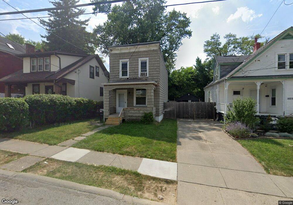
1621 1st Ave Cincinnati, OH 45205
West Price Hill NeighborhoodEstimated Value: $77,526 - $132,000
2
Beds
1
Bath
1,024
Sq Ft
$100/Sq Ft
Est. Value
About This Home
This home is located at 1621 1st Ave, Cincinnati, OH 45205 and is currently estimated at $102,632, approximately $100 per square foot. 1621 1st Ave is a home located in Hamilton County with nearby schools including Carson School, Gilbert A. Dater High School, and Western Hills High School.
Ownership History
Date
Name
Owned For
Owner Type
Purchase Details
Closed on
Oct 13, 2016
Sold by
Recycled Dreams Llc
Bought by
Re Recyle It Llc
Current Estimated Value
Purchase Details
Closed on
Jun 19, 2007
Sold by
Us Bank Na
Bought by
Recycled Dreams Llc
Purchase Details
Closed on
Apr 9, 2007
Sold by
Reed Randall W and Montgomery Yvonne K
Bought by
Us Bank Na and Firstar Bank Na
Create a Home Valuation Report for This Property
The Home Valuation Report is an in-depth analysis detailing your home's value as well as a comparison with similar homes in the area
Home Values in the Area
Average Home Value in this Area
Purchase History
| Date | Buyer | Sale Price | Title Company |
|---|---|---|---|
| Re Recyle It Llc | $8,900 | -- | |
| Recycled Dreams Llc | $10,000 | Attorney | |
| Recycled Dreams Llc | $10,000 | Attorney | |
| Us Bank Na | $24,000 | None Available |
Source: Public Records
Tax History Compared to Growth
Tax History
| Year | Tax Paid | Tax Assessment Tax Assessment Total Assessment is a certain percentage of the fair market value that is determined by local assessors to be the total taxable value of land and additions on the property. | Land | Improvement |
|---|---|---|---|---|
| 2024 | $1,150 | $18,078 | $2,604 | $15,474 |
| 2023 | $1,152 | $18,078 | $2,604 | $15,474 |
| 2022 | $651 | $9,132 | $2,587 | $6,545 |
| 2021 | $638 | $9,132 | $2,587 | $6,545 |
| 2020 | $640 | $9,132 | $2,587 | $6,545 |
| 2019 | $638 | $8,302 | $2,352 | $5,950 |
| 2018 | $639 | $8,302 | $2,352 | $5,950 |
| 2017 | $615 | $8,302 | $2,352 | $5,950 |
| 2016 | $528 | $6,948 | $2,513 | $4,435 |
| 2015 | $472 | $6,948 | $2,513 | $4,435 |
| 2014 | $475 | $6,948 | $2,513 | $4,435 |
| 2013 | $549 | $7,896 | $2,856 | $5,040 |
Source: Public Records
Map
Nearby Homes
- 1645 Iliff Ave
- 4000 W Liberty St
- 3910 W Liberty St
- 3810 W Liberty St
- 1273 Iliff Ave
- 1634 Dewey Ave
- 1646 Dewey Ave
- 1618 Dewey Ave
- 1616 Dewey Ave
- 1660 Dewey Ave
- 1318 Beech Ave
- 1438 Manss Ave
- 1617 Dewey Ave
- 1709 Wyoming Ave
- 1506 Beech Ave
- 1702 Wyoming Ave
- 2403 Glenway Ave
- 3744 Mayfield Ave
- 1239 Sliker Ave
- 3742 Mayfield Ave